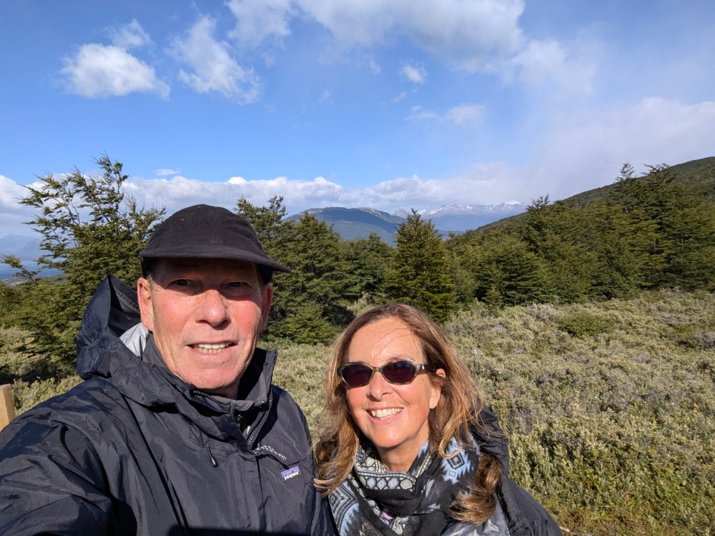
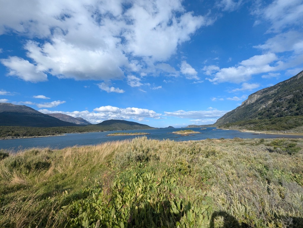
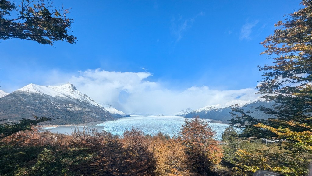
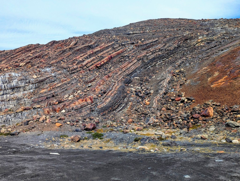
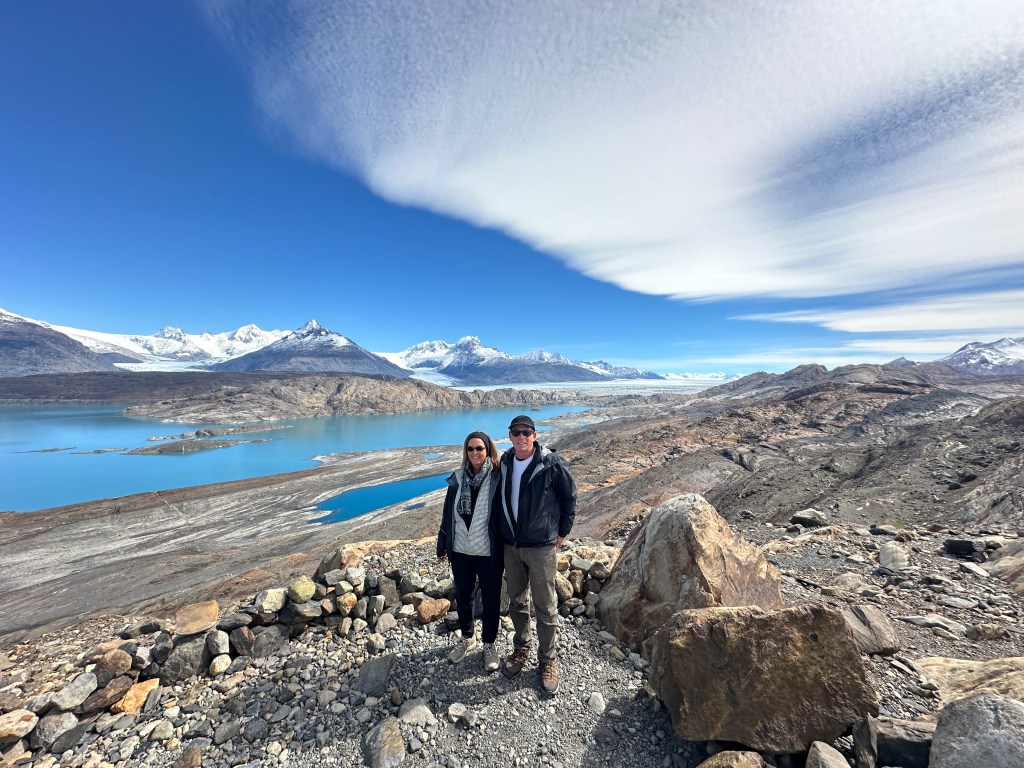
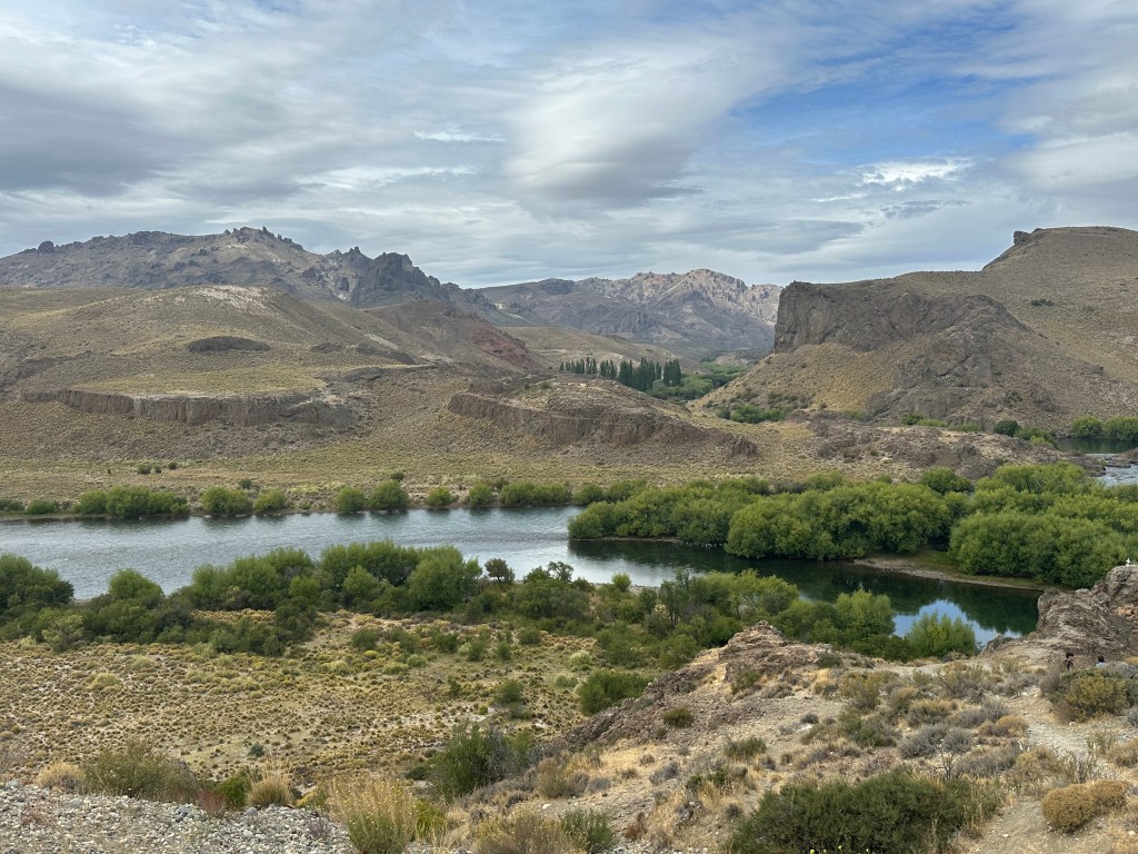
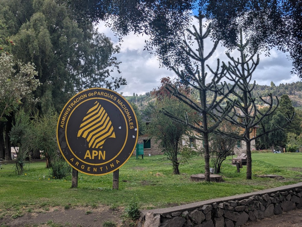
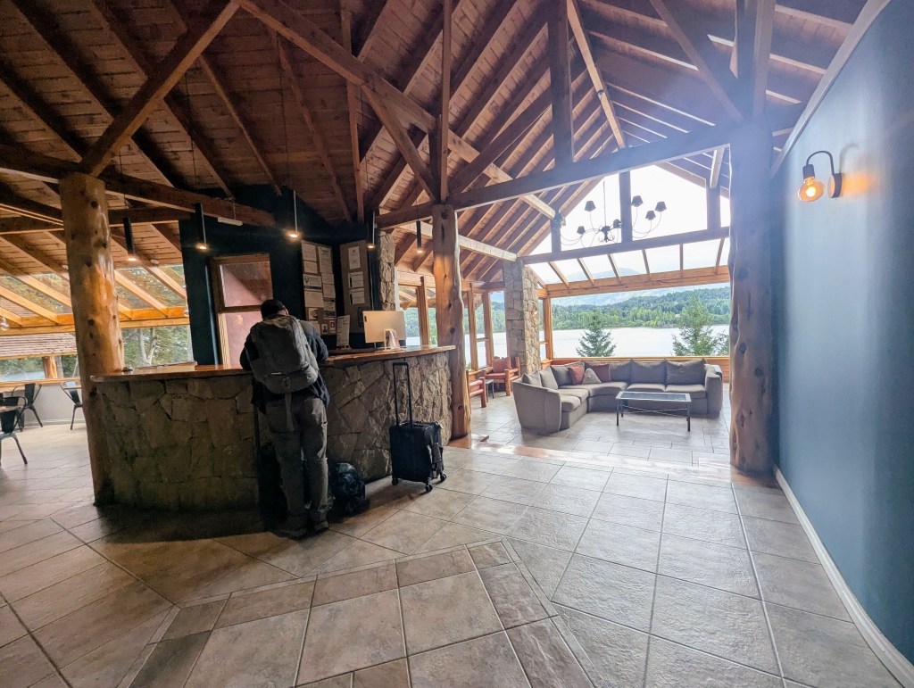
We landed in Bariloche, the hub of the “Lakes Region,” picked up our rental car, and started along the route to San Martin de los Andes recommended by our travel agent, which meant heading east prior to turning north. The landscape was dry and desert-like

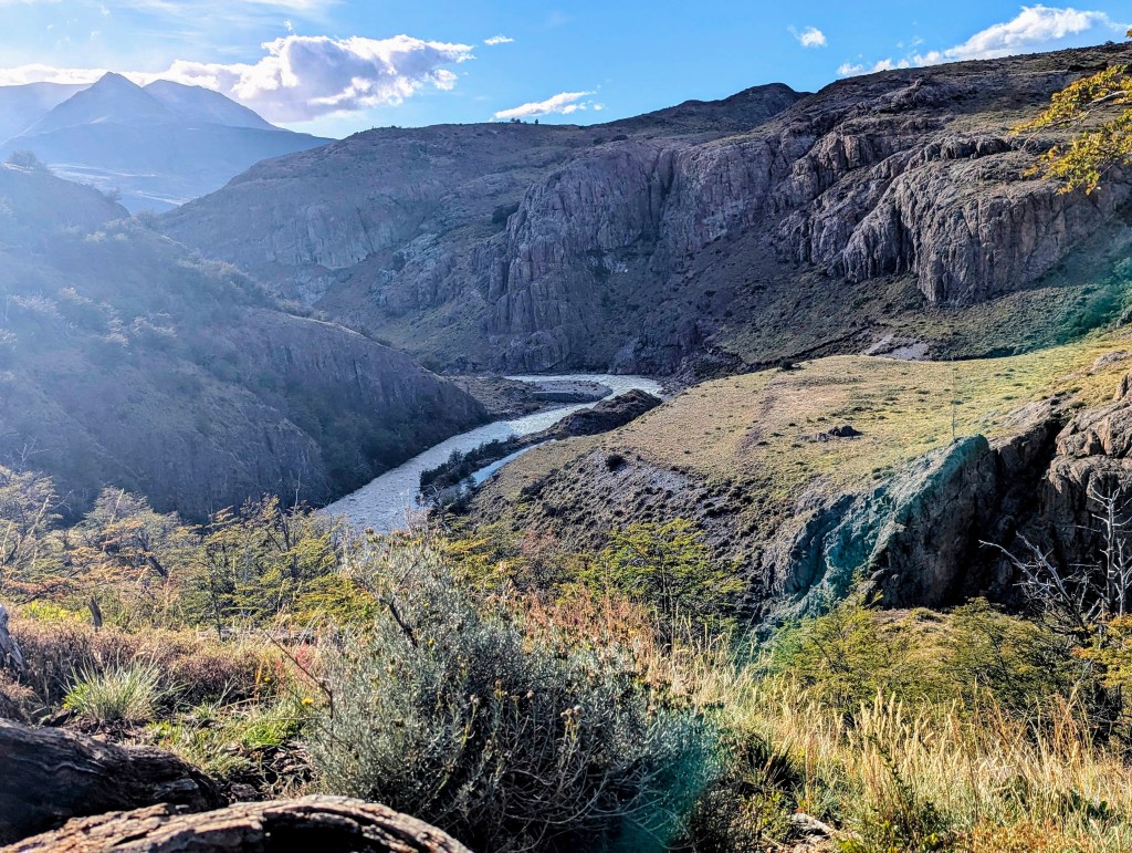
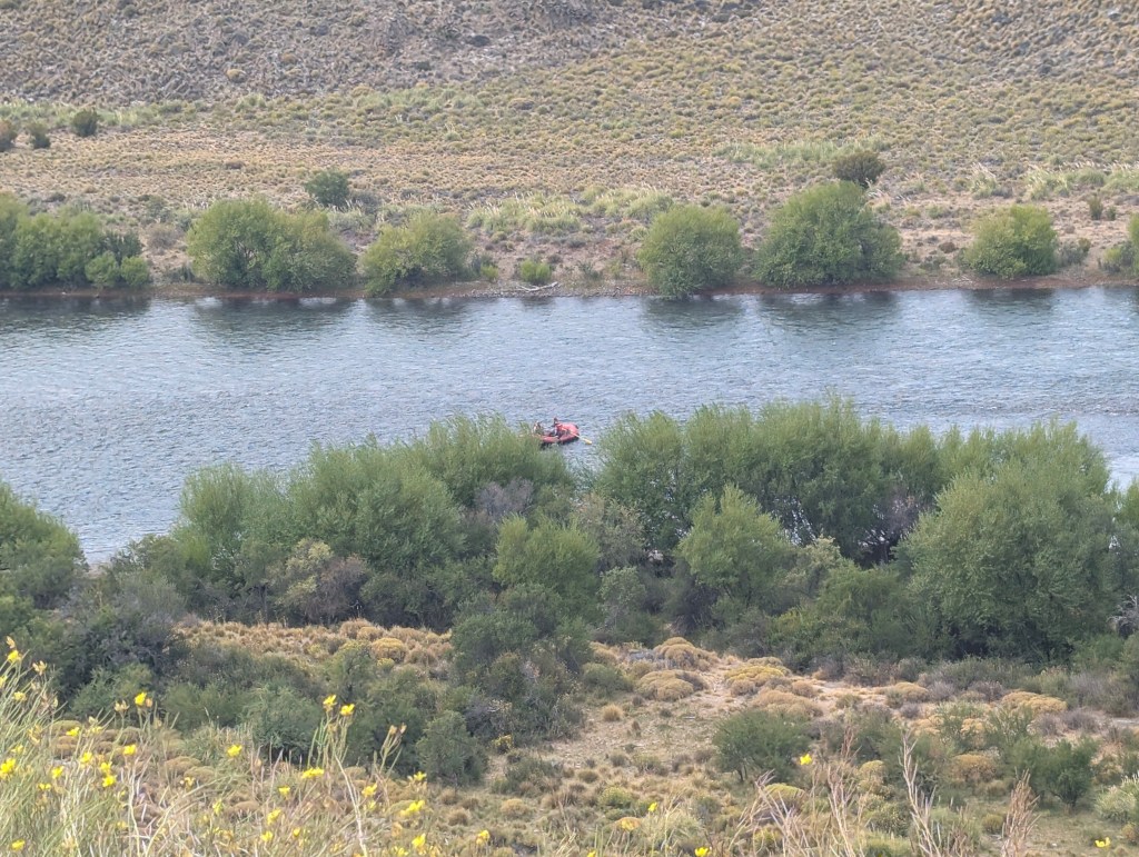
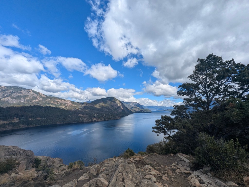
until we were joined by Río Limay along the road. We pulled over at Mirador Anfiteatro (Amphitheater Lookout) so named because the land makes the shape of an amphitheater.
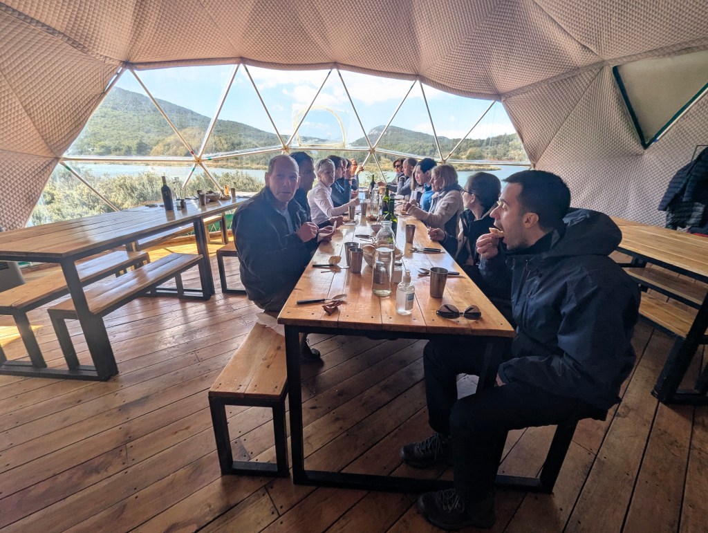
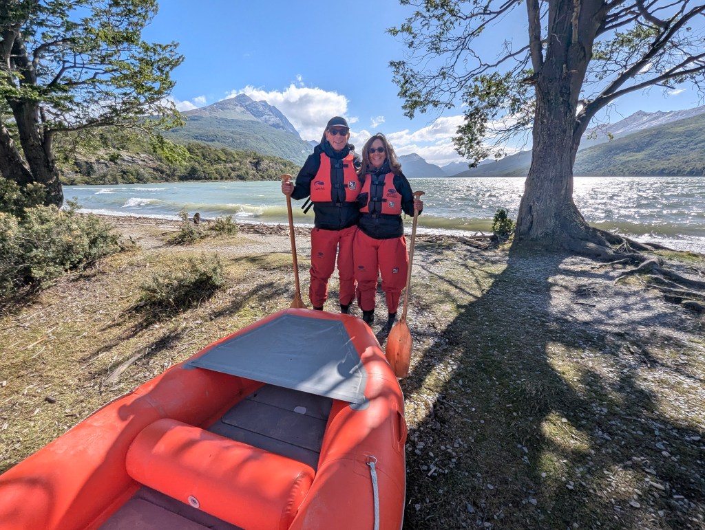
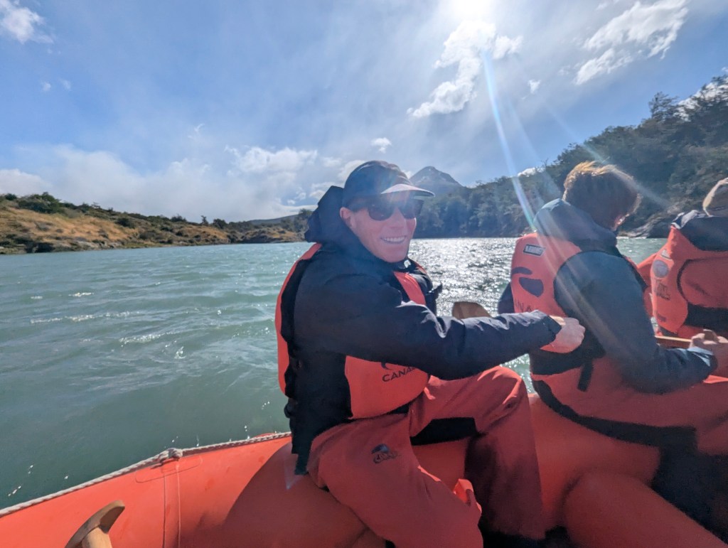
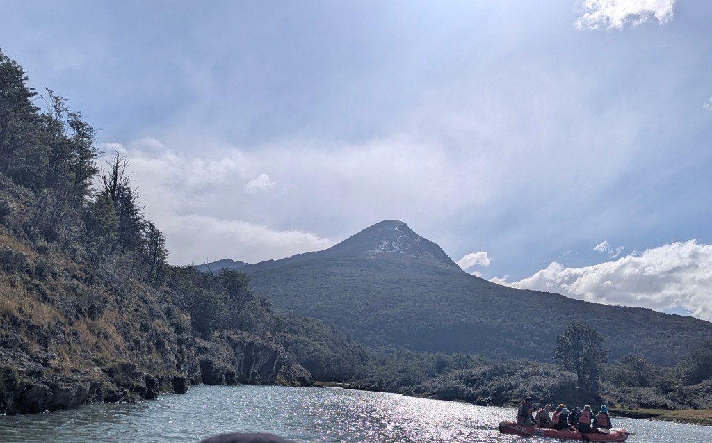
There were folks rafting.
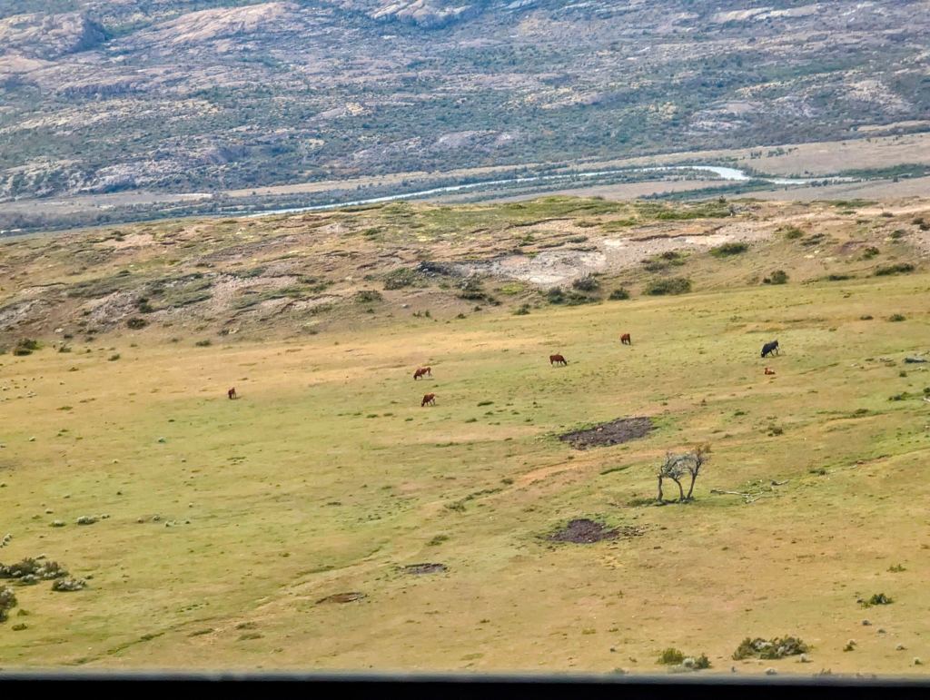
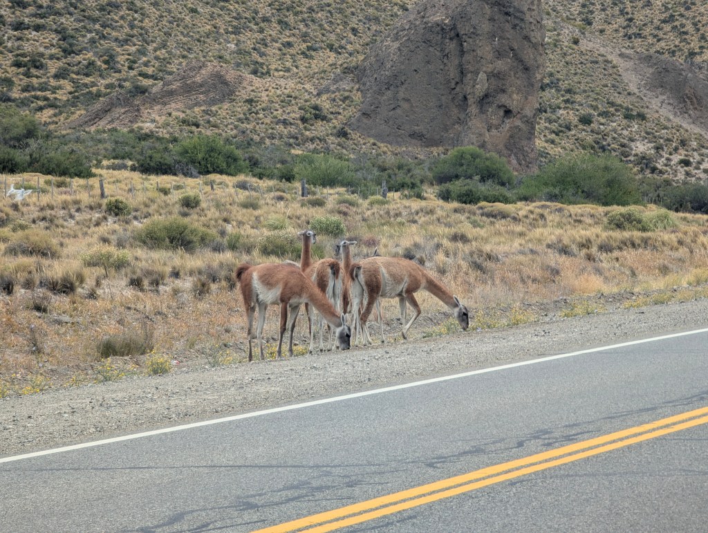
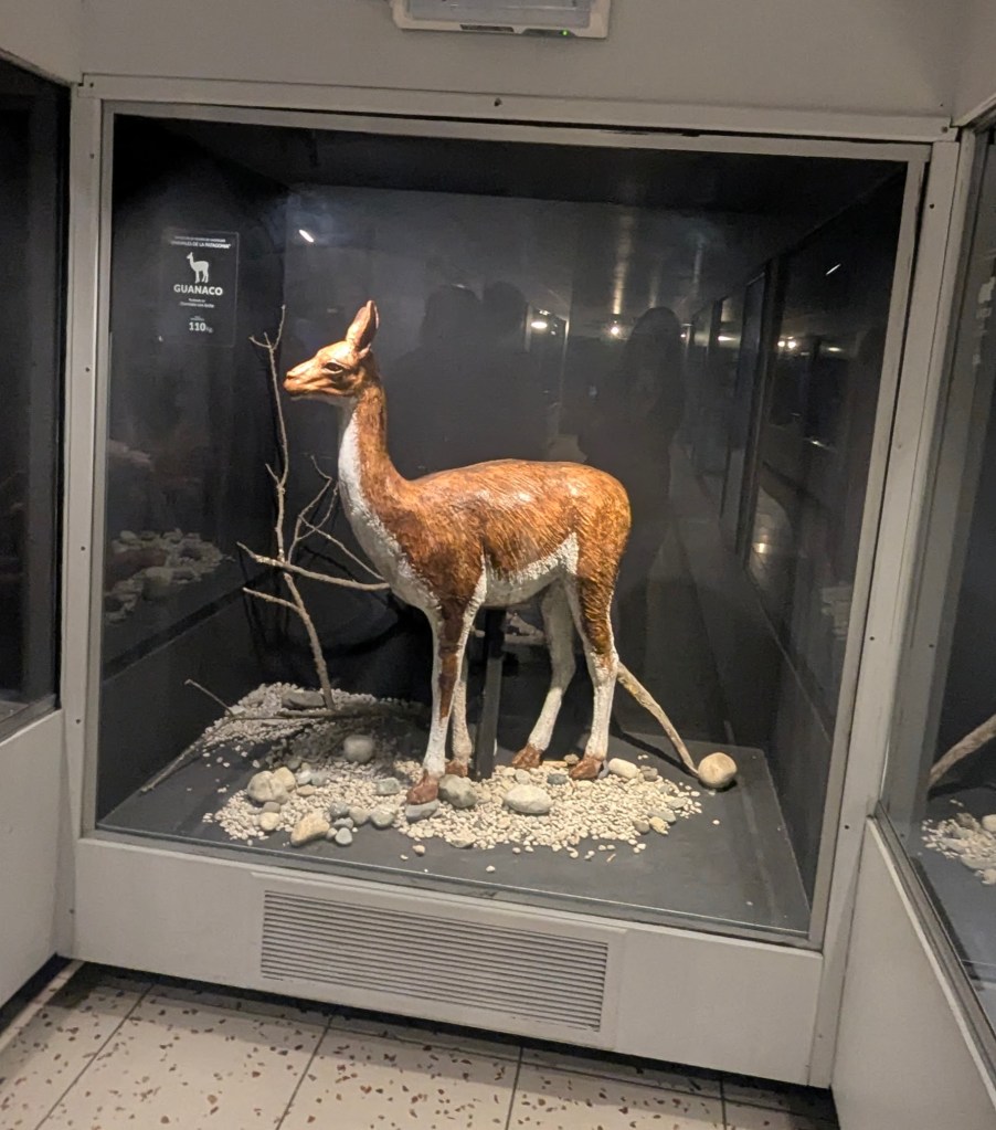
Along the side of the road we passed several herds of guanacos, native to the Patagonian steppes and a relative to the alpacas of Northern Argentina. They are herbivore mammals that form herds of 4-20 individuals led by a dominant male known, as the “relincho,” who keeps watch while the rest graze. When faced with danger they make a loud vocal threat, hence their name. They flee at a gallop.
After about an hour we reached the unpaved road noted on our agent’s instructions; we were to travel 70 km in 2 hours. But due to our inferior vehicle, small tires and lousy shocks, and the poor road condition, rocks and ruts, we did not feel comfortable driving faster than 15 km/hr. We calculated that we were close to 5 hours away from our destination on this path. With rain starting we turned around and went back about 40 minutes to the main road Google maps had suggested. We reached the small town of Villa La Angostura, to which we would return in a few days, and stopped for an early dinner before driving the last 2 hours to our destination. We stopped in a very cute very local cafe and had the most delicious burgers we have ever tasted. Our route from here looked straight, no turns, so off we headed. After about 40 minutes we were passing a guard station. Turns out in the rain and dark, we had missed a right turn and we were crossing into Chile! Apparently folks do this all the time; the guard was unfazed and calmly told us to turn around and make a left in 14 km. We could only laugh at ourselves and the misadventures of the day. It was late in the evening when we finally pulled into the parking lot of Hosteria Las Lengas in San Martín de los Andes.

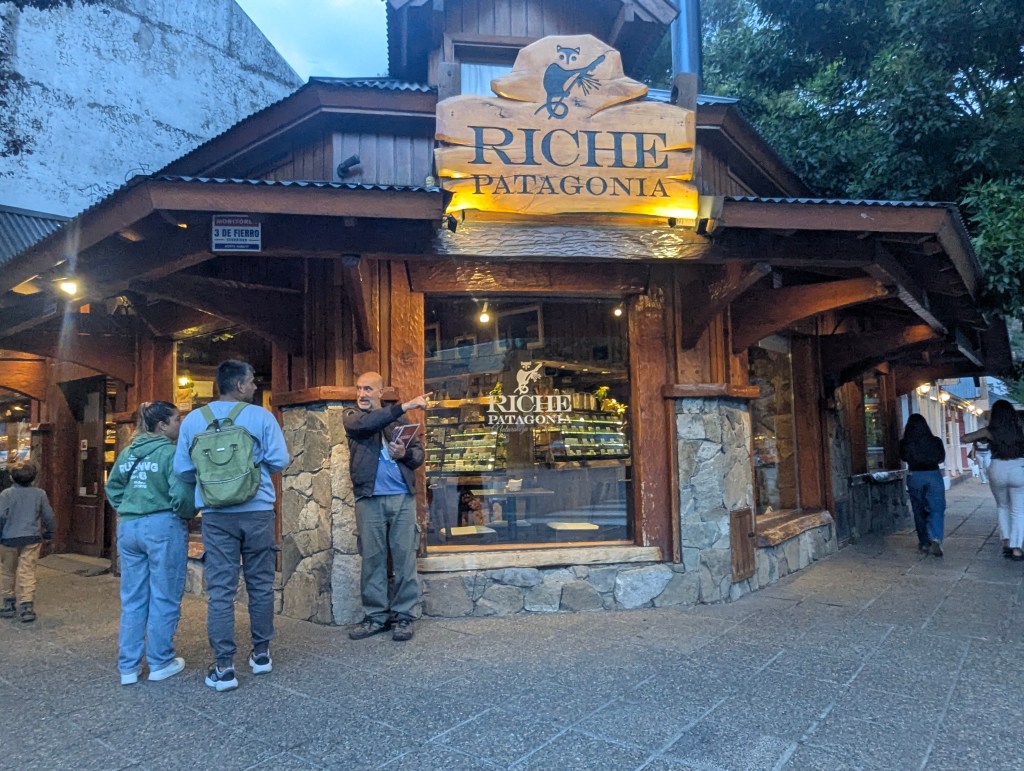
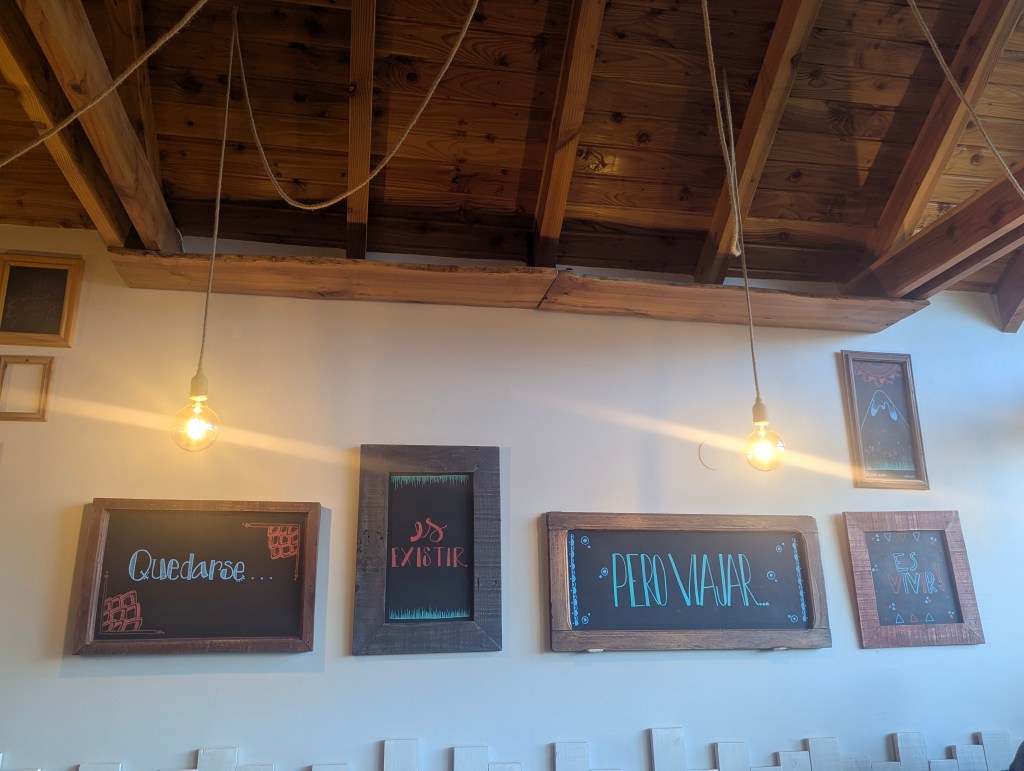
With the waning light of the summer skies, and the rain abating, we strolled around town a bit to stretch our legs before turning in for the night. We were struck by the many chocolate stores with some completely empty

while others had long lines.
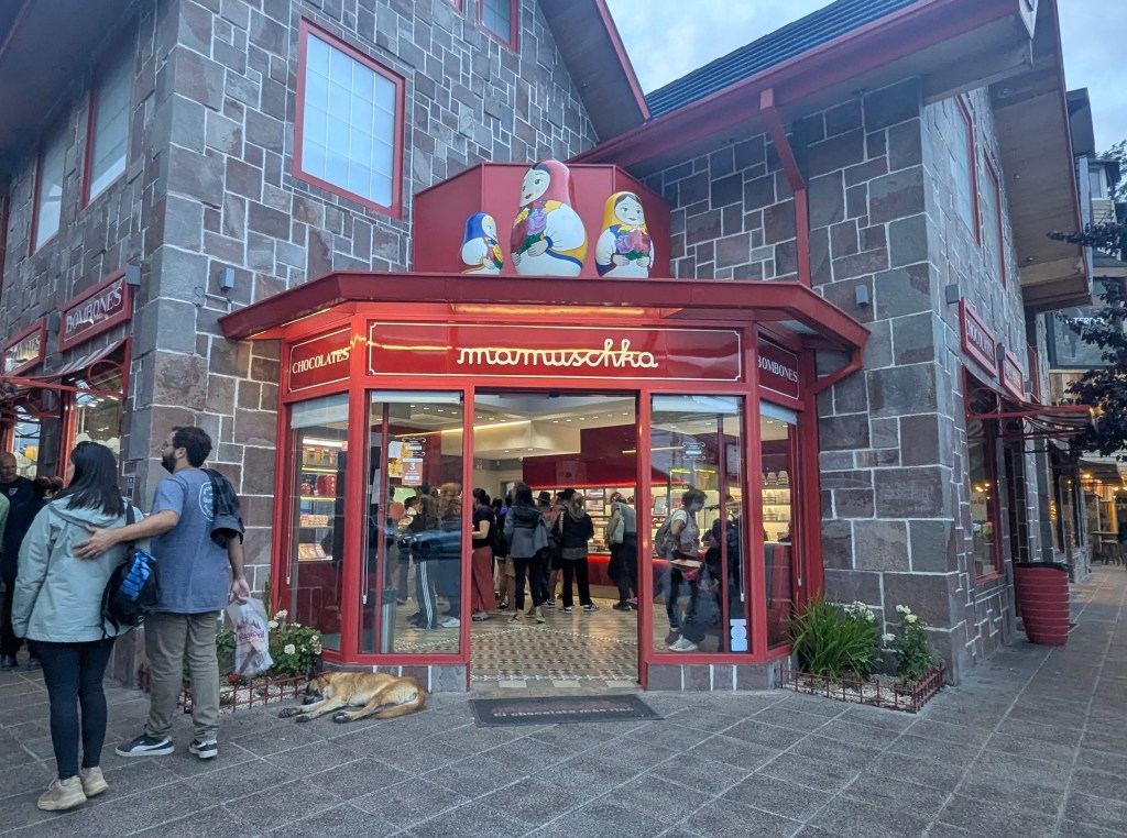
And many had both chocolates and ice cream.
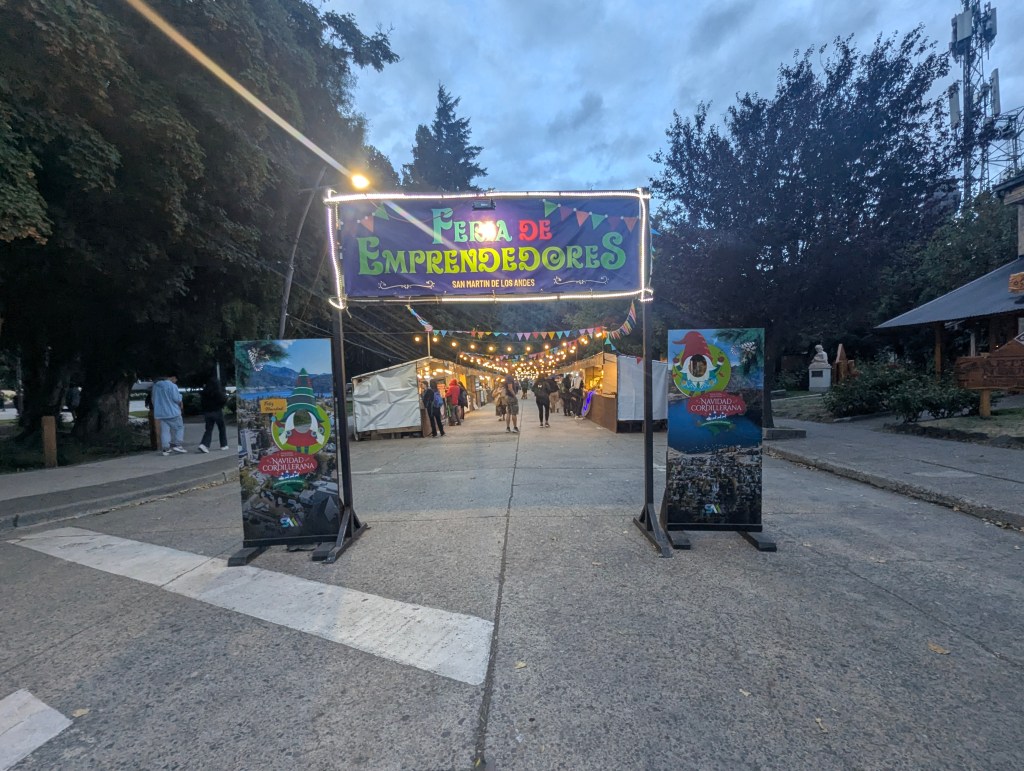
We passed the main square

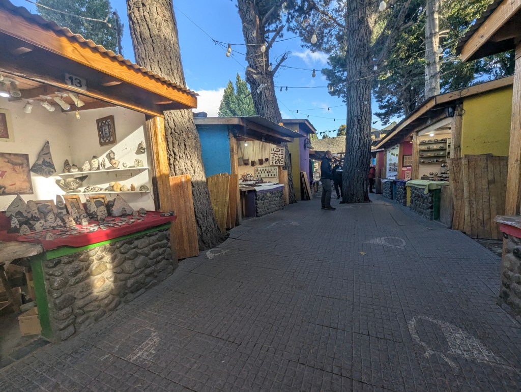
which was surrounded by stalls carrying all kinds of hand crafted local souvenirs.
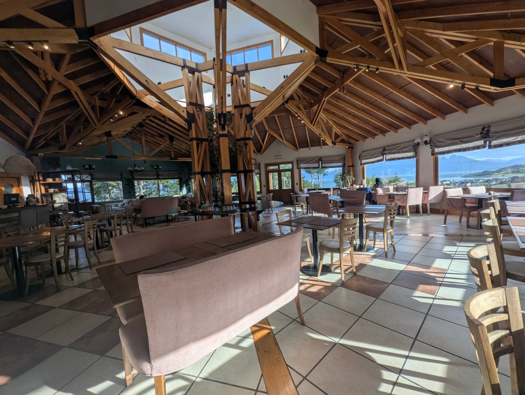
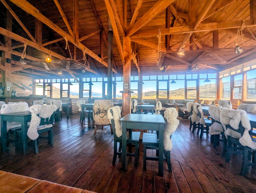
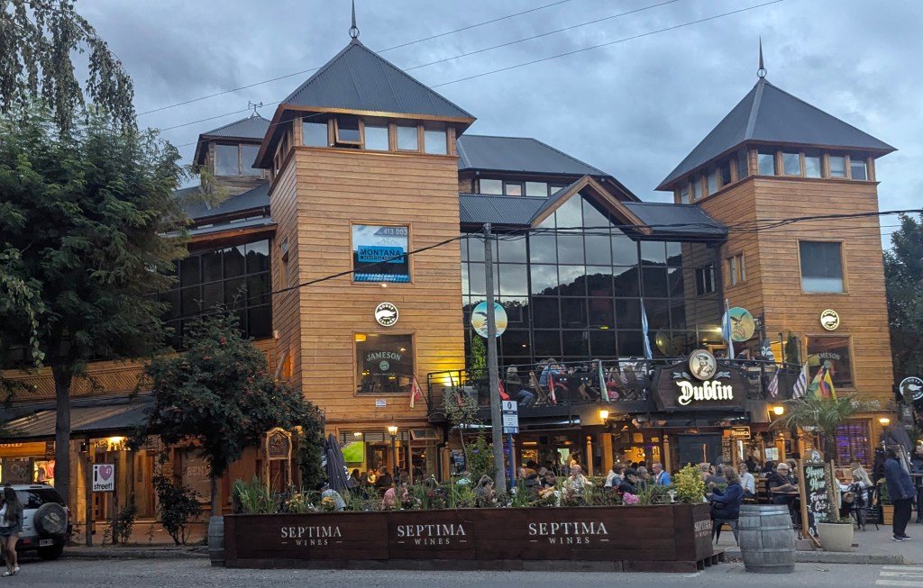
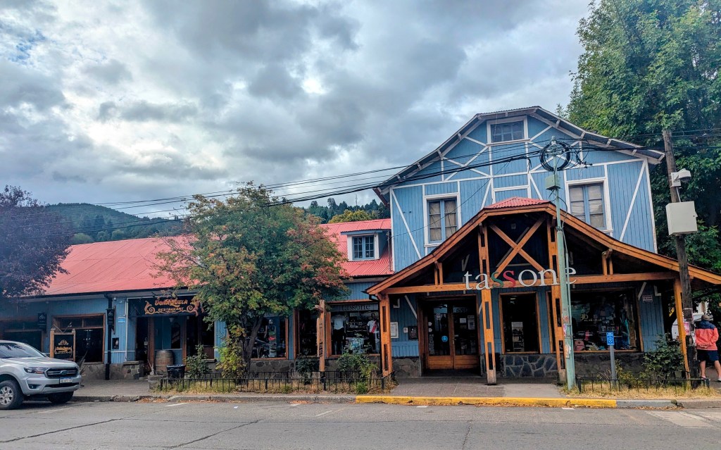
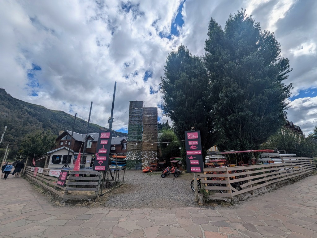
This resort town is chock full of hotels, hosterias (small hotels), pubs, cafes, restaurants, and souvenir shops. There are also many outdoor gear stores for all of the activities enjoyed in the area from camping, hiking, biking, fishing, and kayaking, to skiing and horseback riding. From the local eateries, which included sushi, Italian pasta, Irish pubs,
and an Austrian locale,
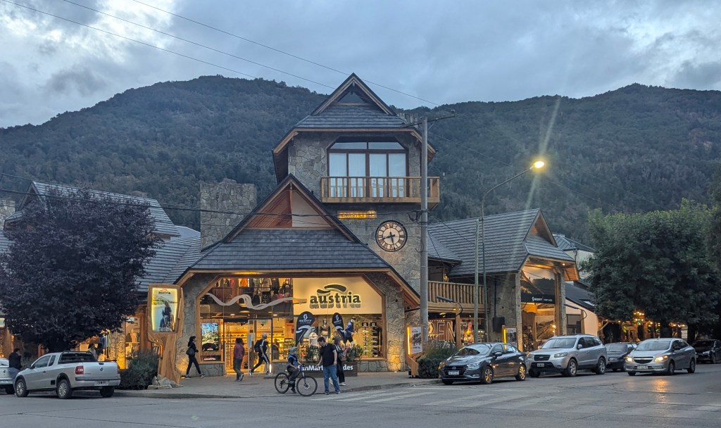
we assumed the town was very international. In fact we were to learn in the next days that almost all of the tourists here are Argentinians. Few in the town speak English, including the receptionists at hotels and wait staff in restaurants. The menus are in Spanish, not translated as they had been in the rest of Patagonia that we visited. It seems that this lakes region is where Argentinians go for their summer vacation.
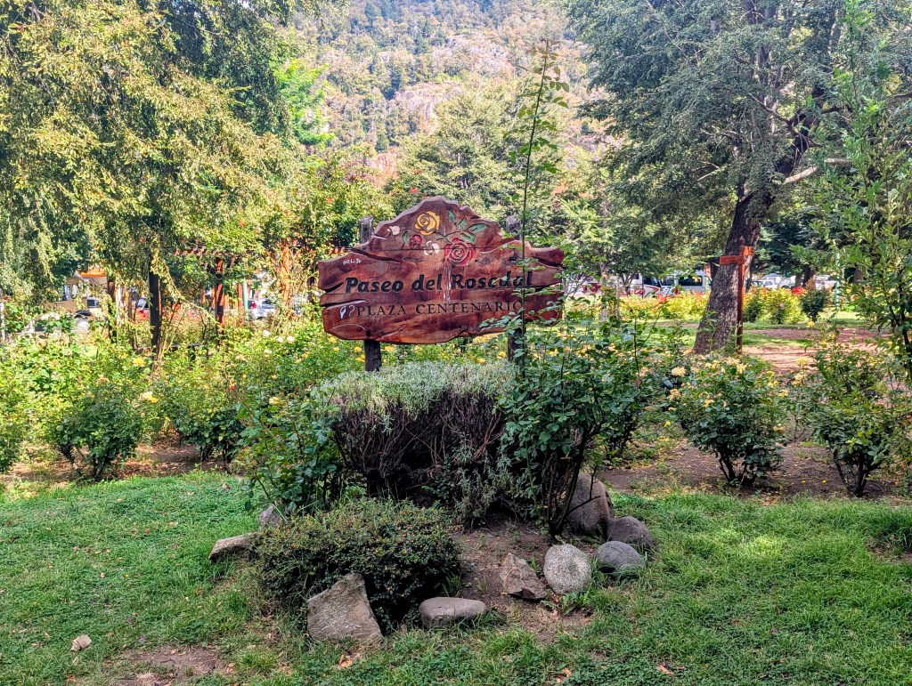
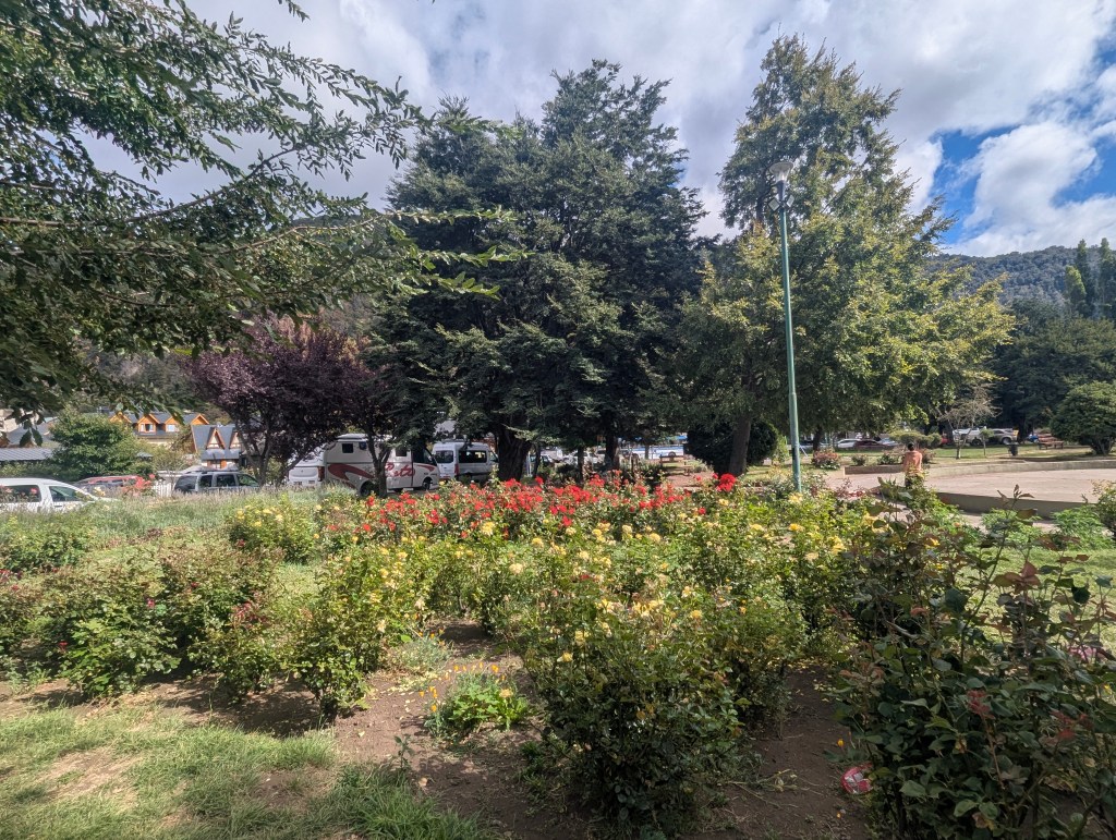
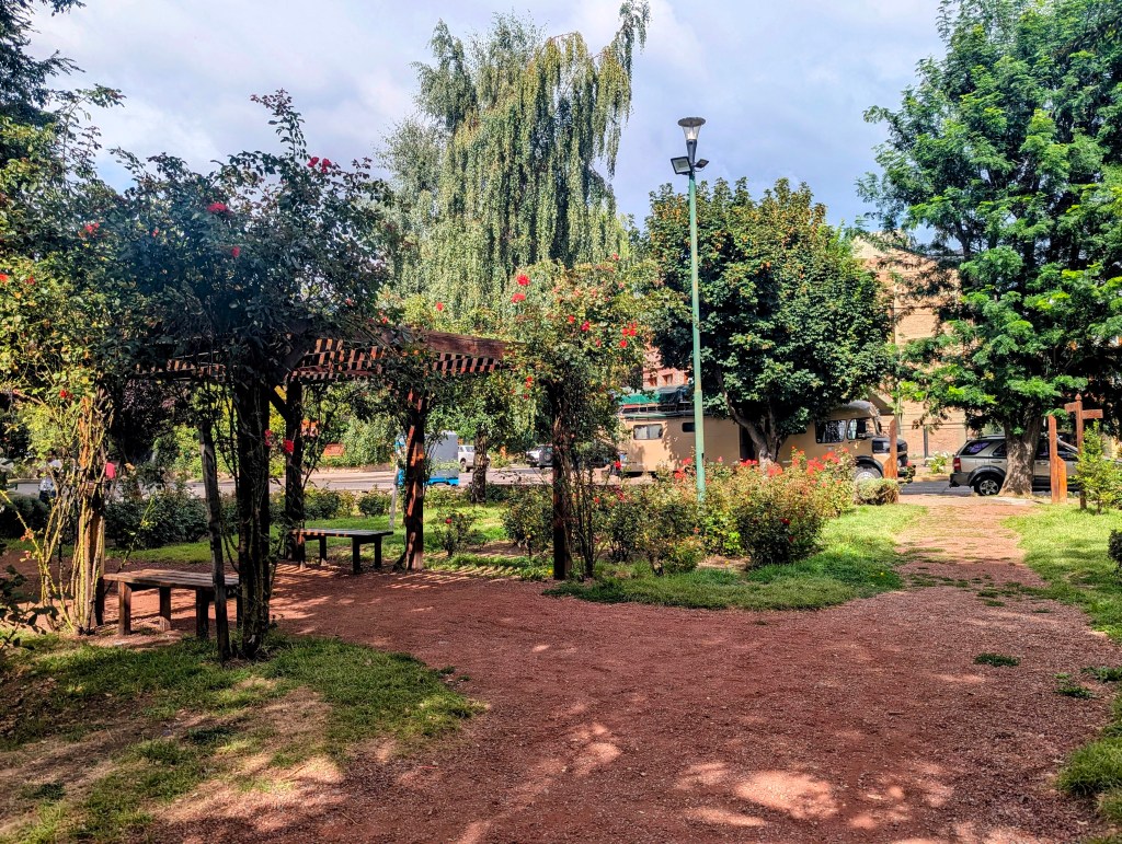
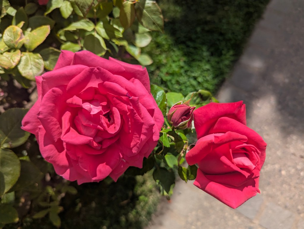
The morning was still a bit rainy and overcast, so we stuck in town for the day. There was still so much more to explore in this beautiful little town full of roses everywhere

in front of homes and hotels
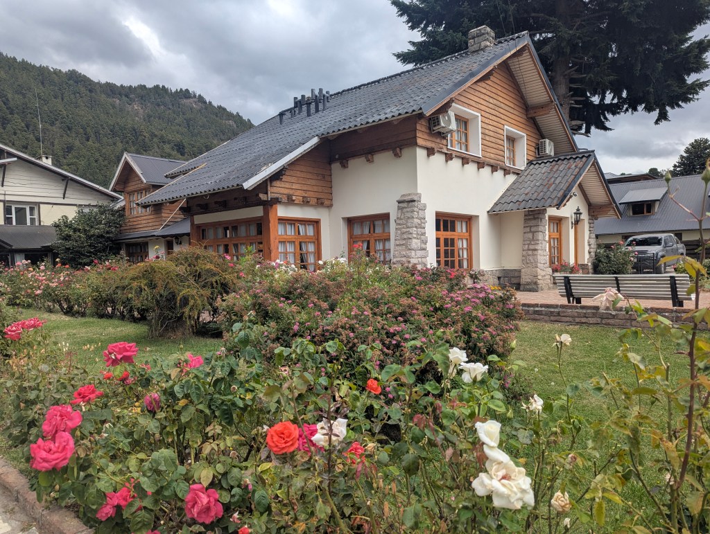
even an entire park devoted to them.
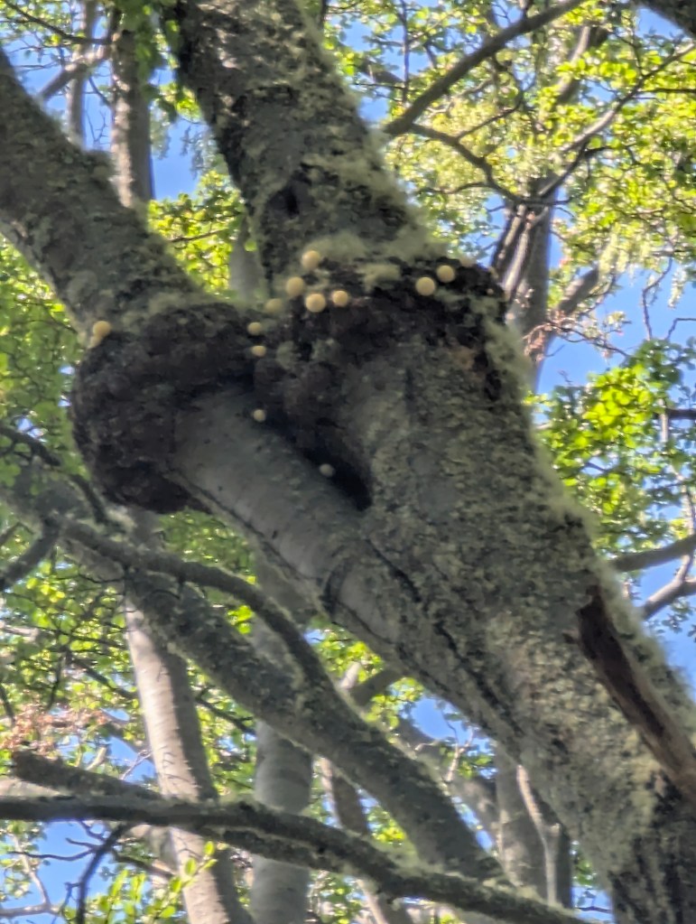
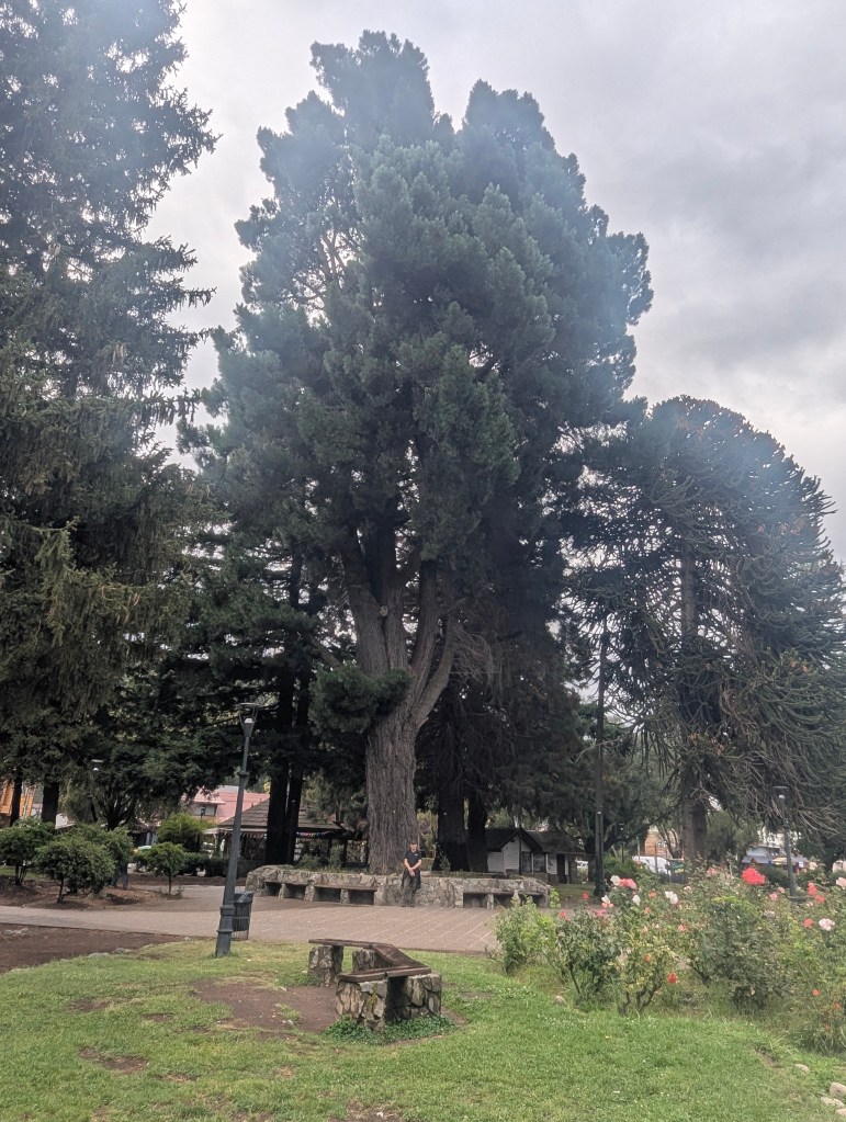
Another park was full of a tree species we had been observing as new to us. This huge tree araucaria araucana, commonly called the Monkey Puzzle, is a native to southern Chile and western Argentina.


Its branches and needles are unique.

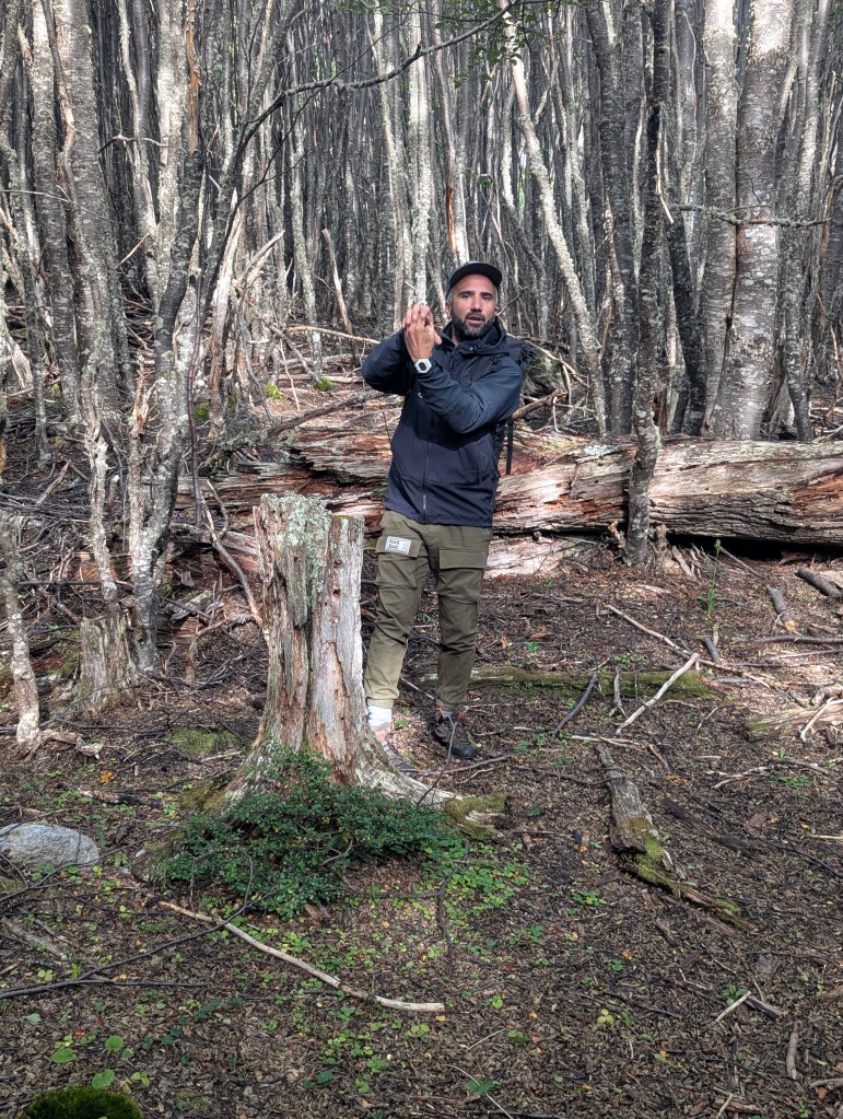
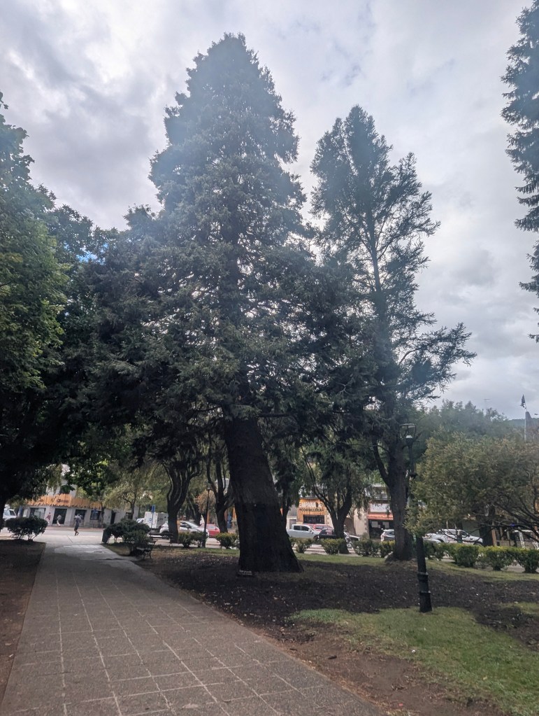
Others in this park are the pino murrayana, in front of which I asked Eric to stand for perspective. A native of the Pacific northwest of the US, the pino murrayana is used for reforestation in mountainous areas and adapts well to the humid and cold climates of the Nequén province.
Another transplant from the pacific northwest is this huge tuya gigante, a type of cypress.
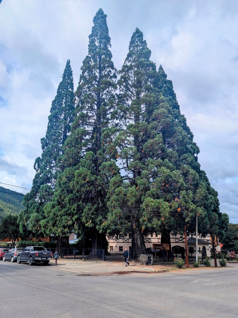
This is truly the land of gigantic tress as evidenced by this group dwarfing the cars parked below.
Sapling monkey puzzle trees could be seen in front of the parks’ department building.
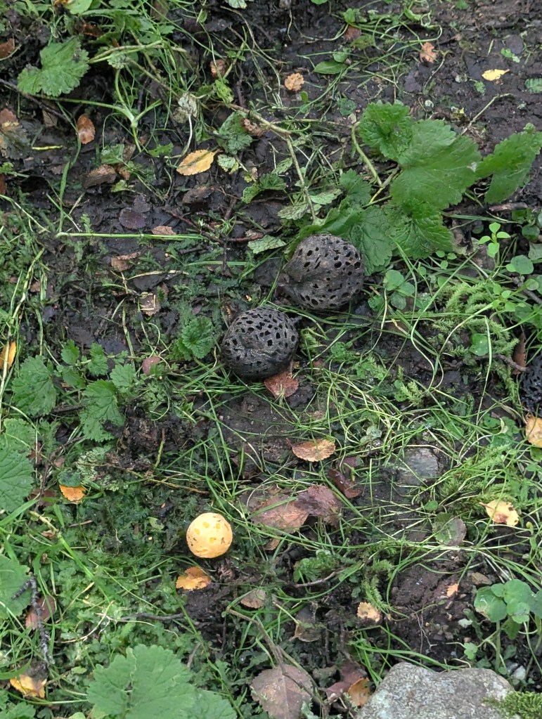
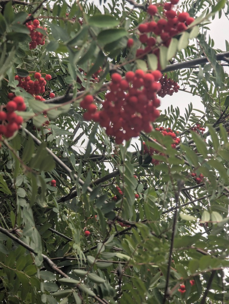
Another variety of tree new to us is this mountain ash. Upon looking it up I learned that it is not indigenous to Argentina but was brought here from Eurasia. Now, however, they are ubiquitous in this area; we were to see them everywhere in the next week.
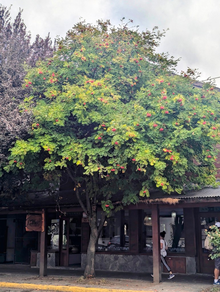
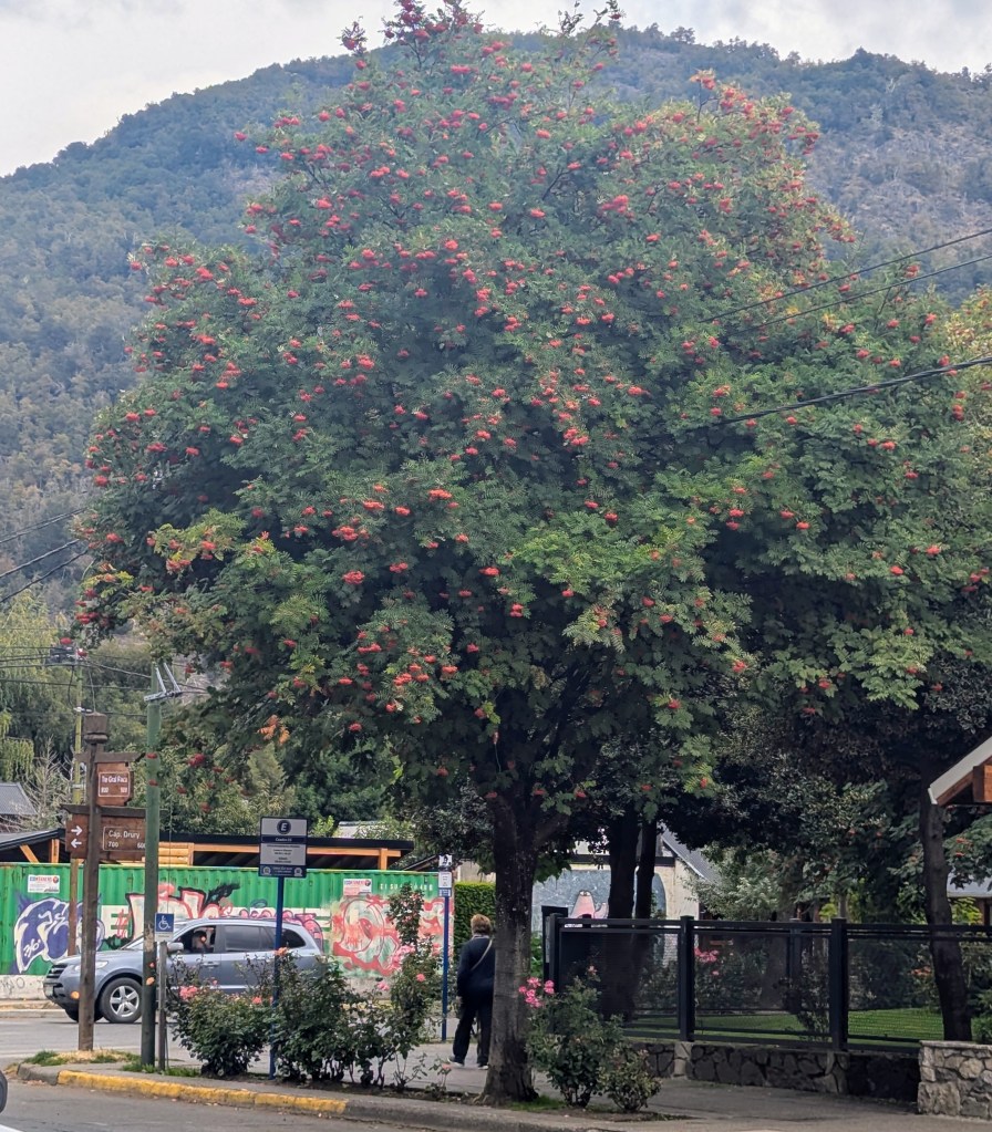
They have beautiful clusters of inedible berries.
Around town there are historical markers like this one, which explains the building across the street was originally the Lácar hotel.
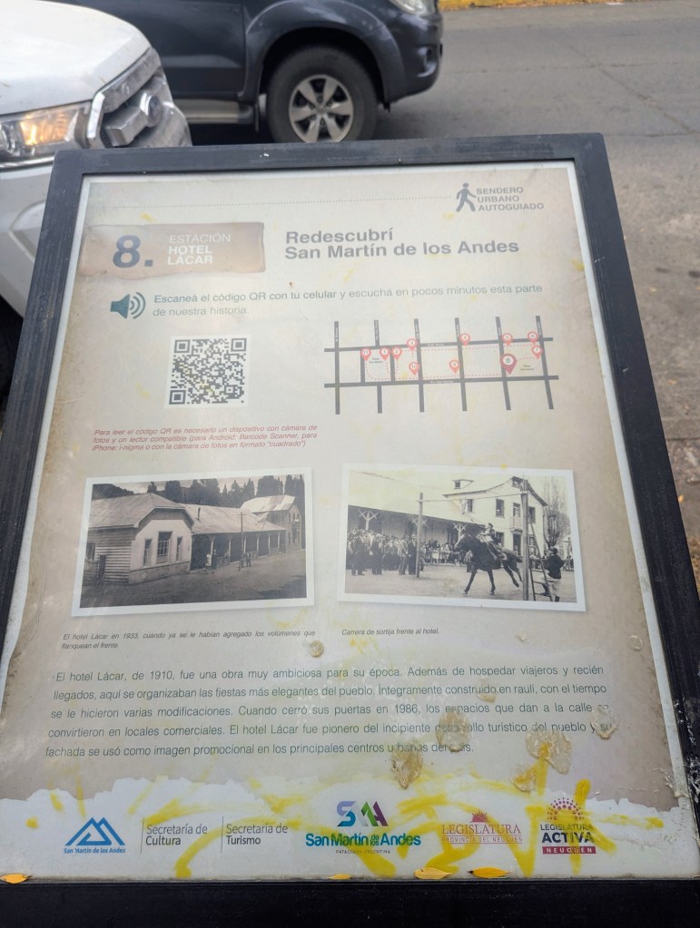
Built in 1910, it was “a very ambitious project for its time. As well as hosting travelers and new arrivals, the town’s most elegant parties were organized here…it underwent several modifications over time. When it closed its doors in 1986, the spaces facing the street were converted into commercial premises. The Lácar hotel was a pioneer of the town’s emerging tourist scene and its façade was used as a promotional image in the main city centers.”
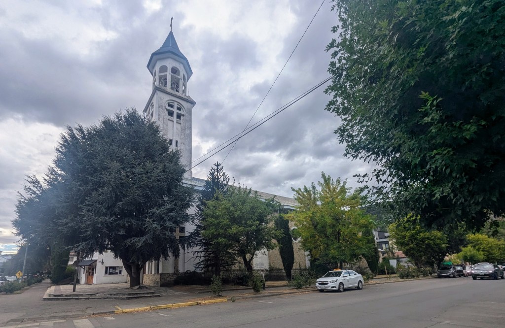
We noted the relative modesty of the churches compared to the cathedrals we had been visiting in Europe this past fall.
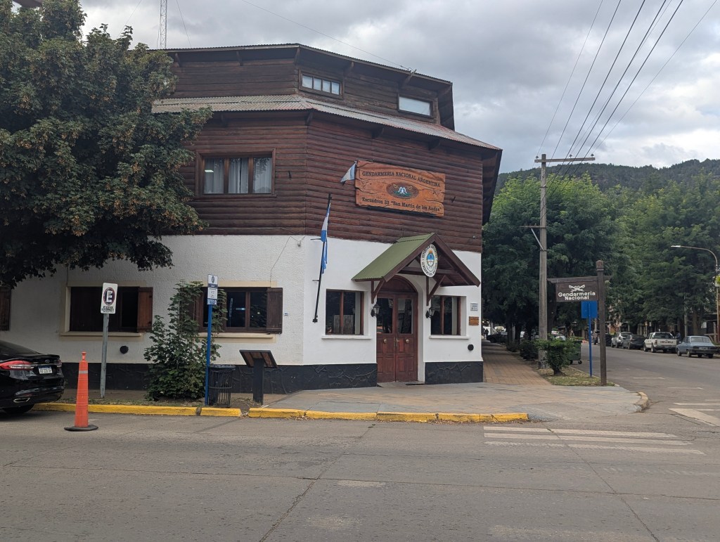
We passed the home of the local national guard, which here actually is for border control. I guess it was one of these guys who helpfully turned us around the night prior, haha.
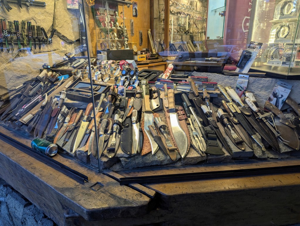
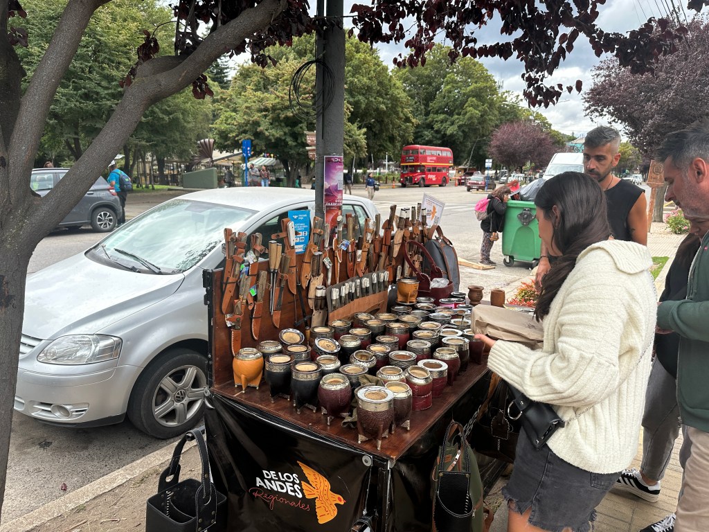
We window shopped the abundance of souvenir shops
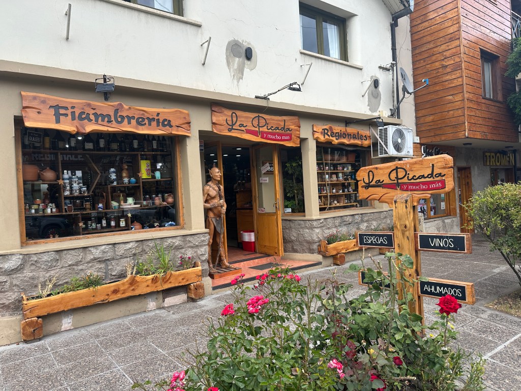
many of which carry knives, which seem very popular locally,
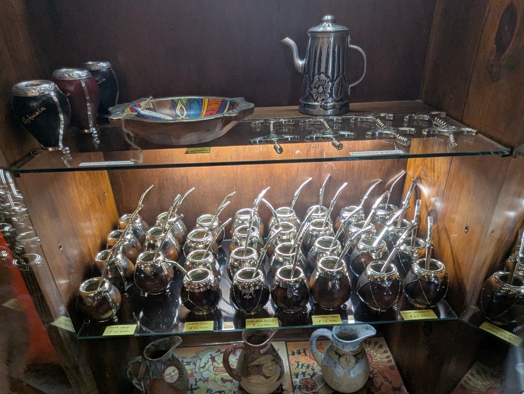
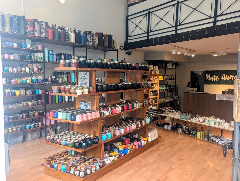
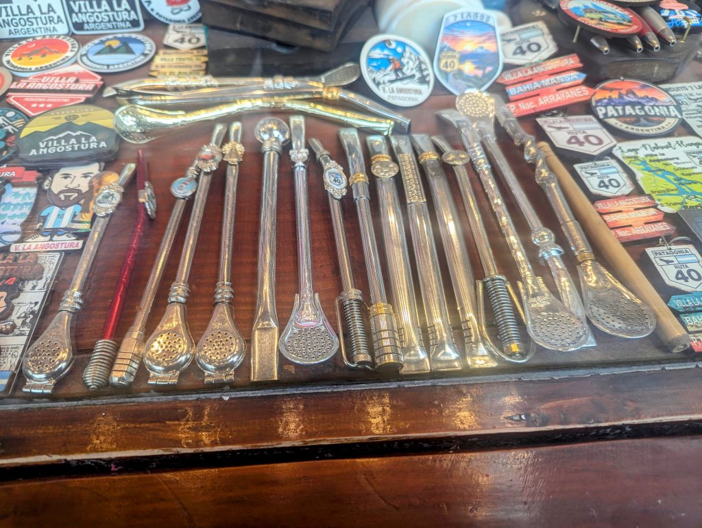
and, of course vessels for the ever popular yerba mate
and the many variations on the metal straws through which to drink it.
and of course craft merchants with knives and cups.
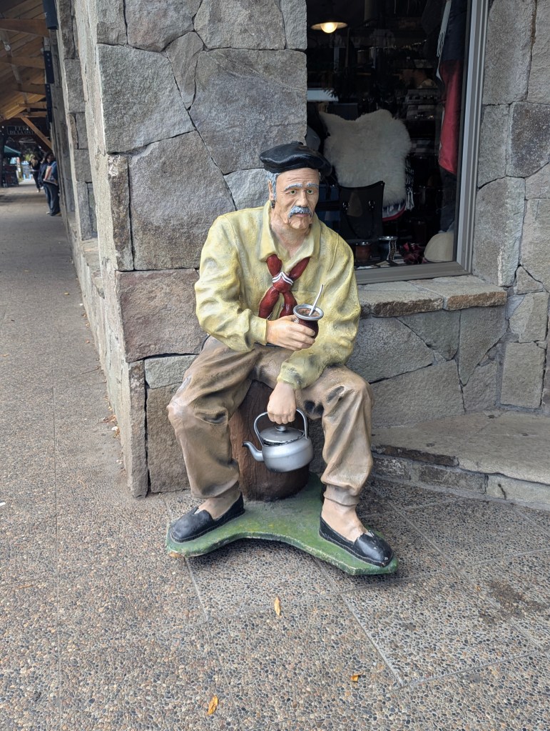
This statue outside one local shop portrays the typical Argentinian enjoying his yerba mate with his thermos of hot water to constantly replenish his drink.
The beer pubs are also plentiful.

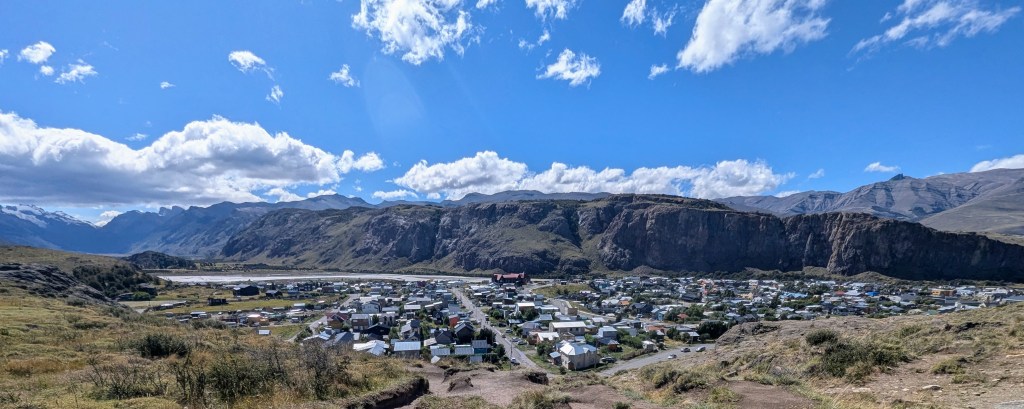
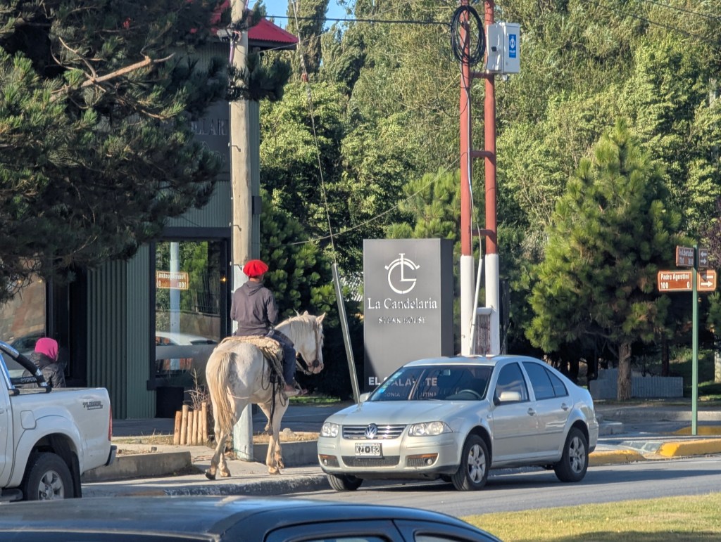
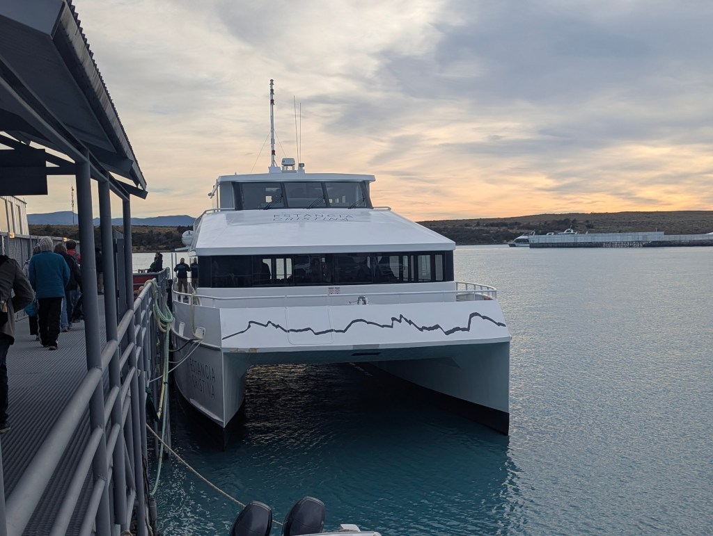
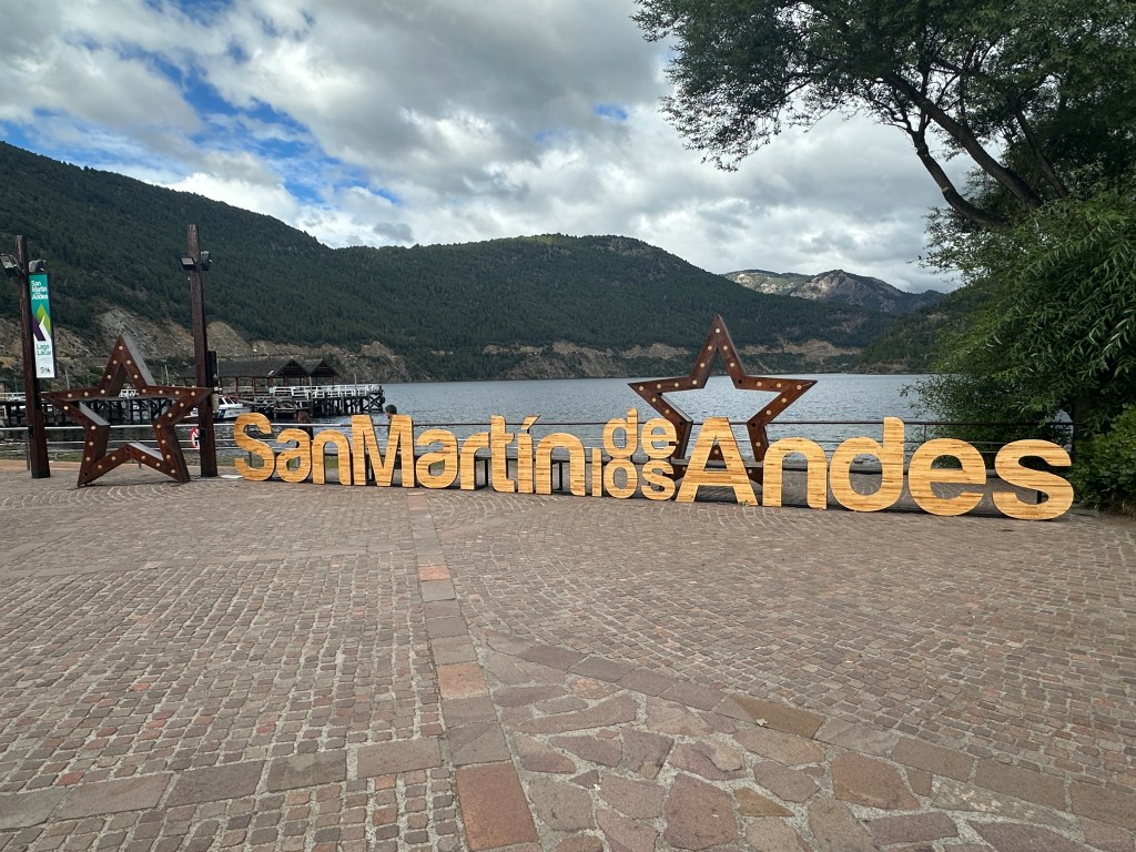
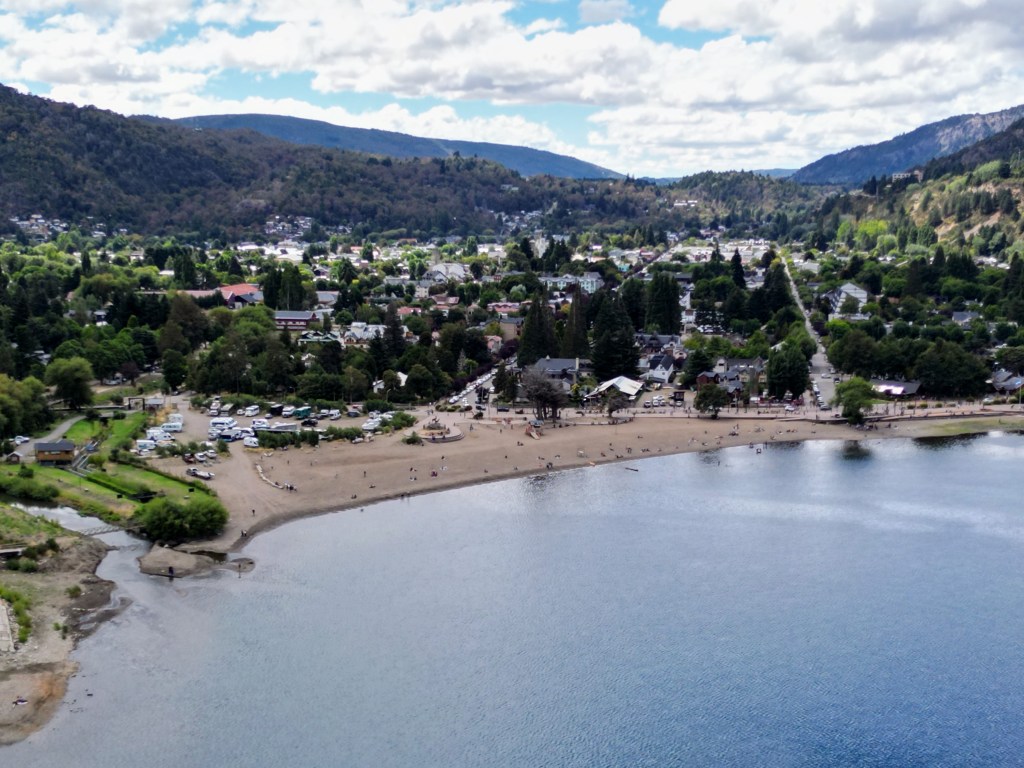
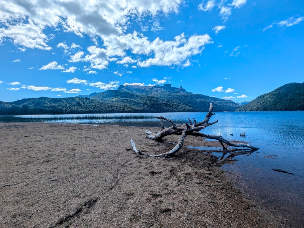
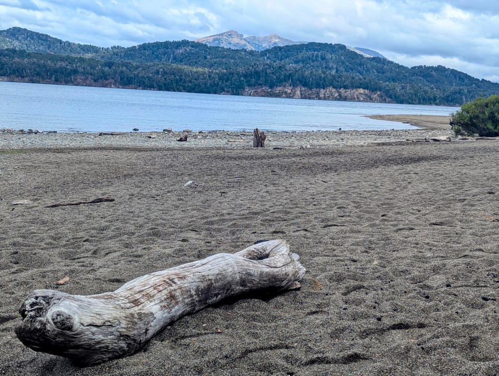
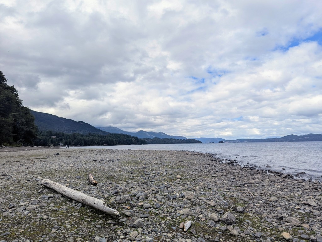
San Martín de los Andes, a resort town of about 35,000 inhabitants, is situated in northwest Patagonia and sits at an altitude of about 2,000 feet. It is known as a gateway to the forested Lanín National Park, home to the Lanín Volcano and diverse wildlife including guanacos and pumas. The town lies on the banks of Lake Lácar, one of the park’s many glacial lakes, and has a boat pier and a sandy beach. It was time to make our way to the beach.


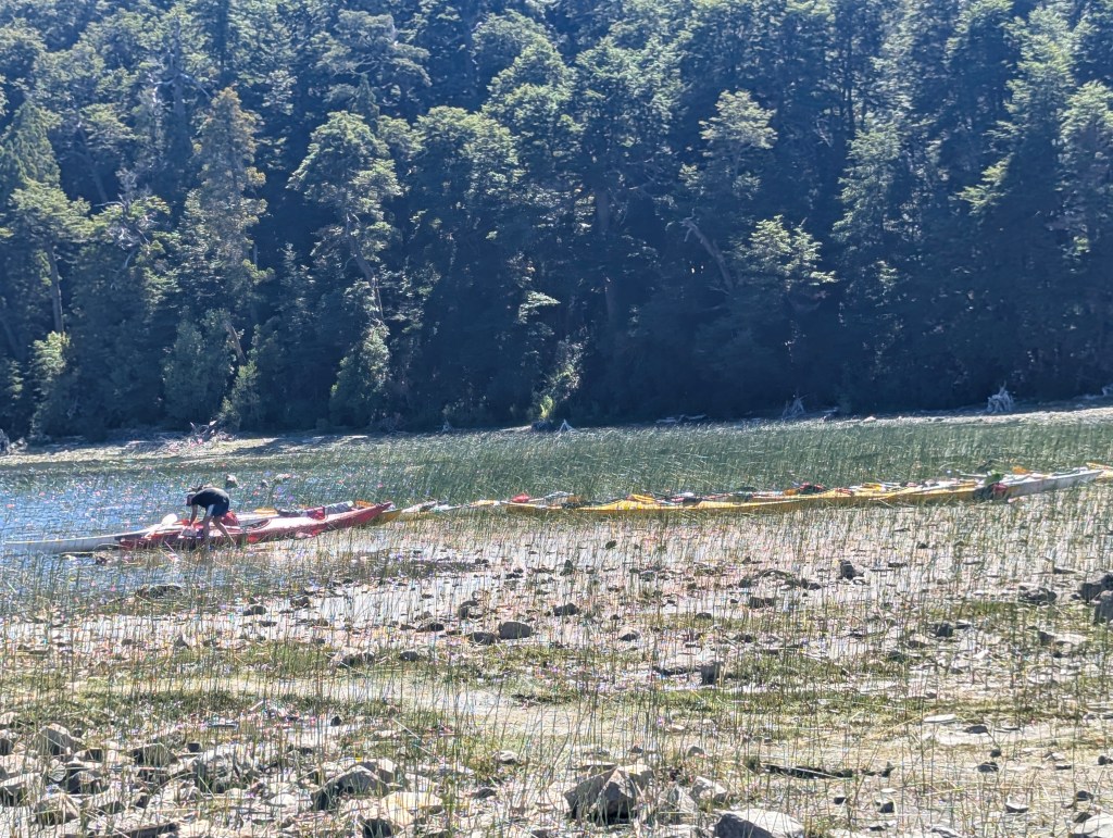
Along the beach are shops for kayak rentals.
We had lunched on local favorites of beer and empanadas, but for dinner we chose sushi, the fish so fresh. Our hosteria was on the outskirts of town. On our way back for the night we passed some cute homes like this one.
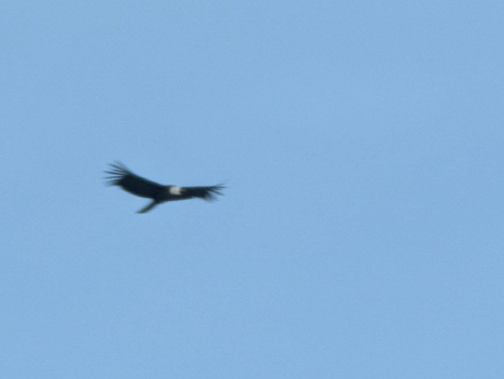
And daily along the way we were greeted by this pair of Andean Ibis.

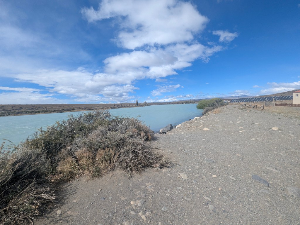
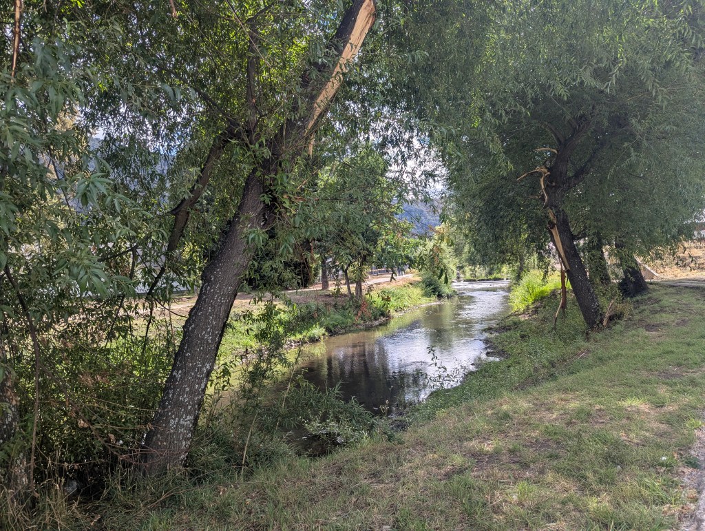
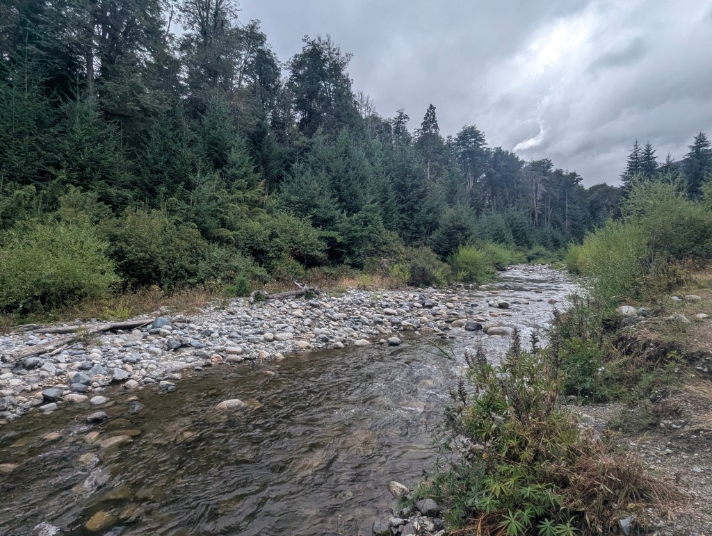
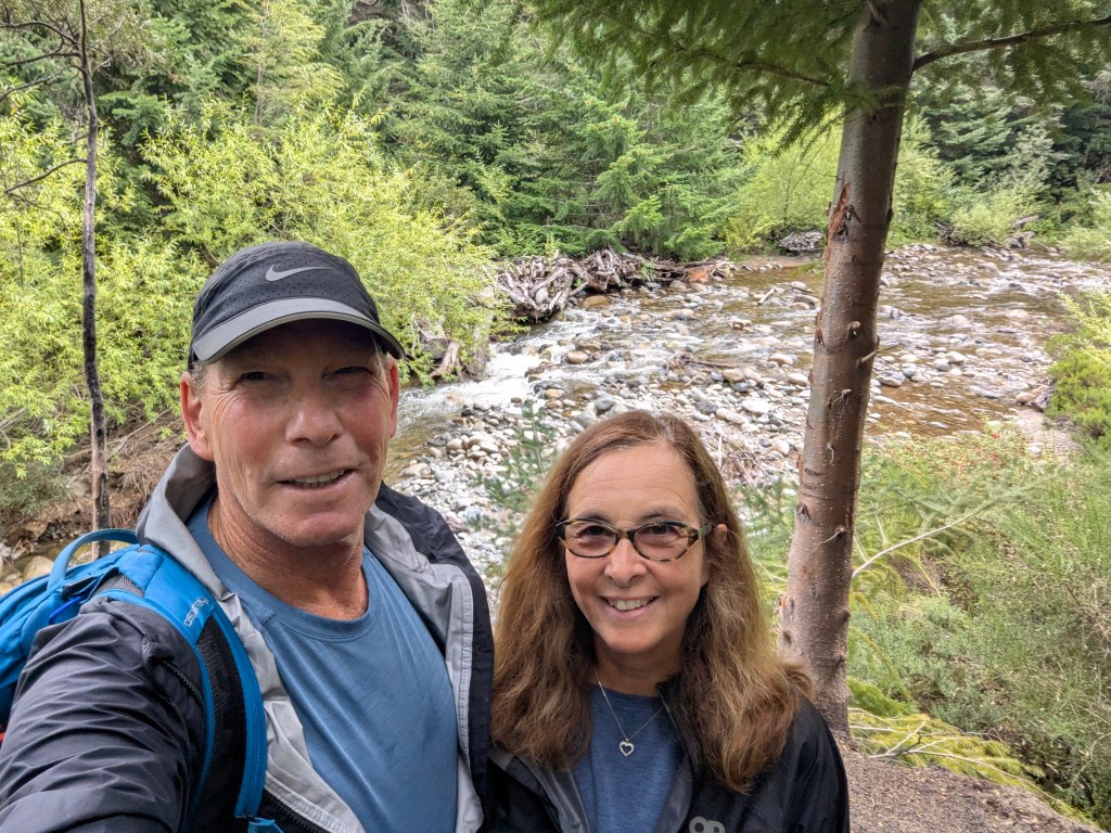
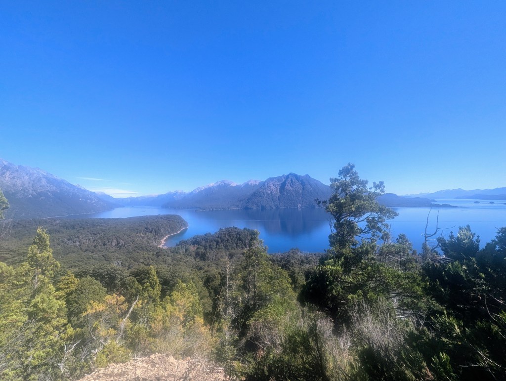
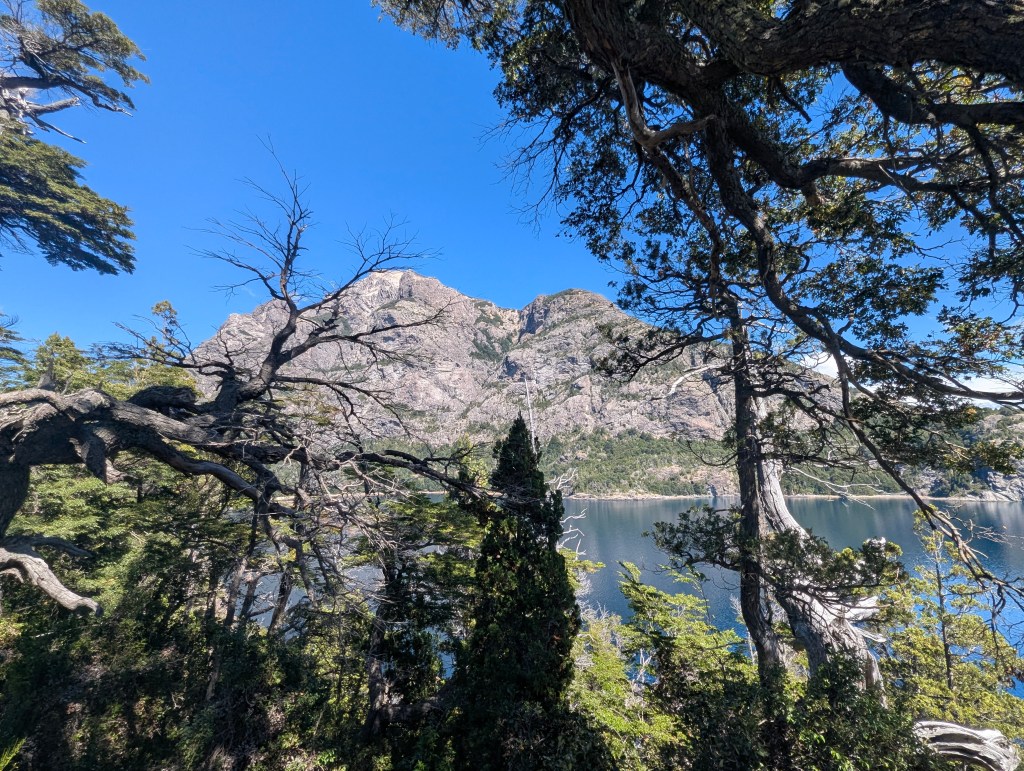
In the morning the sun was finally shining brightly upon us, so we headed out for one of the more popular hikes of the area: Mirador Bandurrias. But first we passed a little stream feeding the lake.
From the beginning part of the trail we could see the town’s water treatment plant. It is perfectly safe to drink the tap water here.
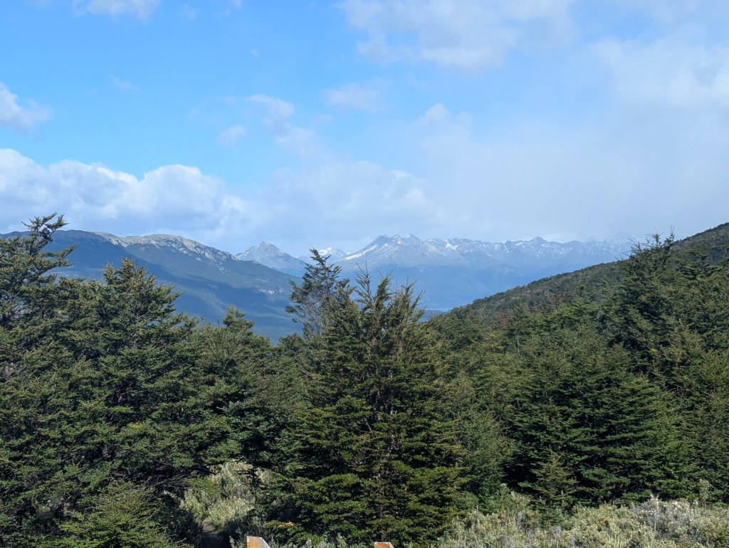
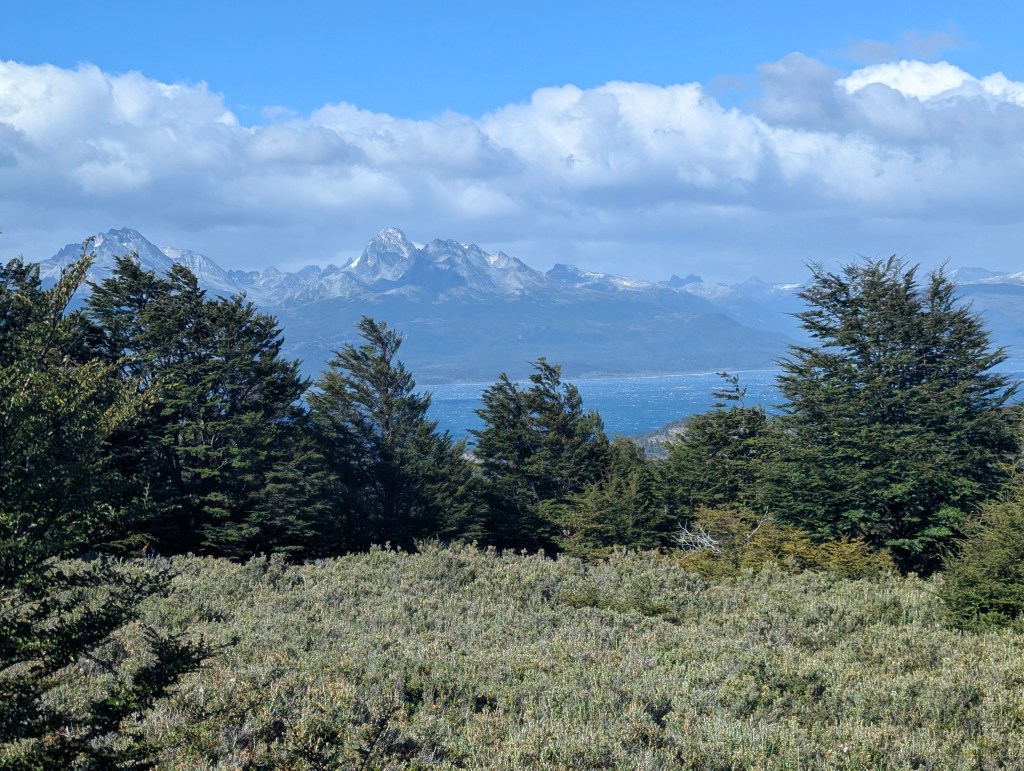
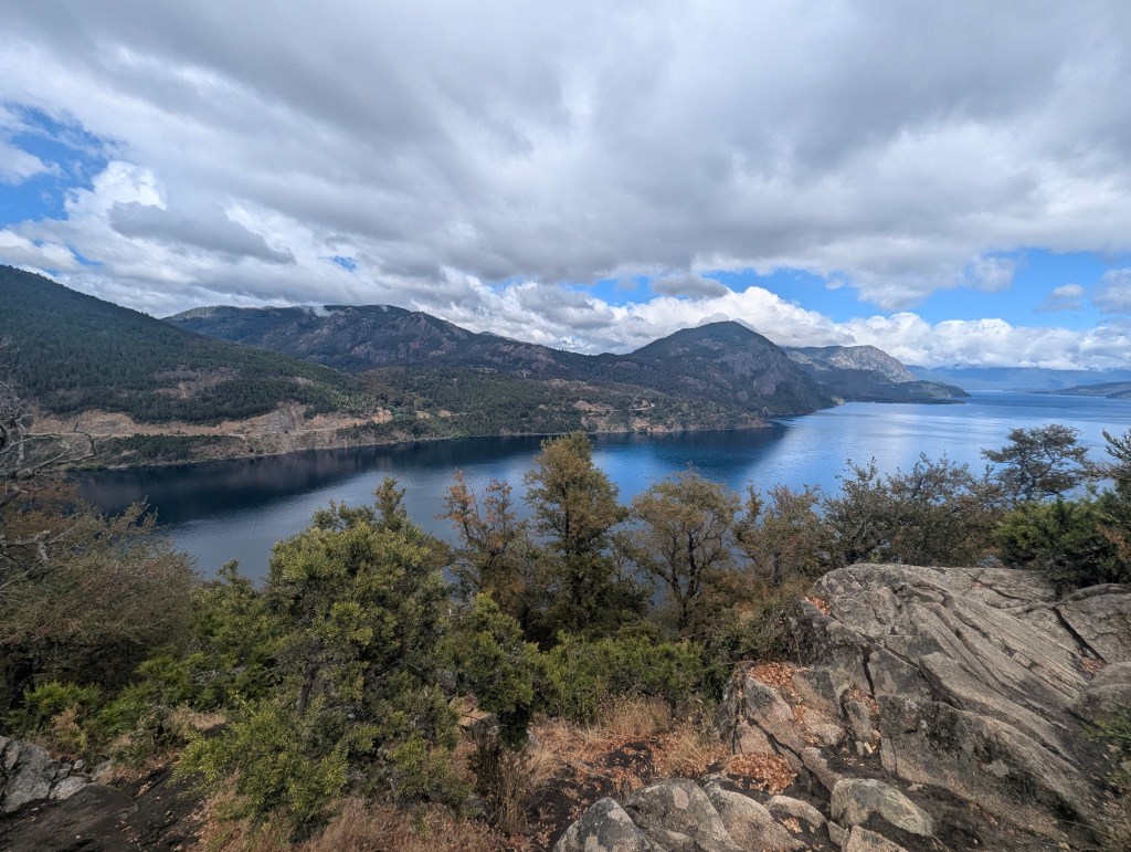
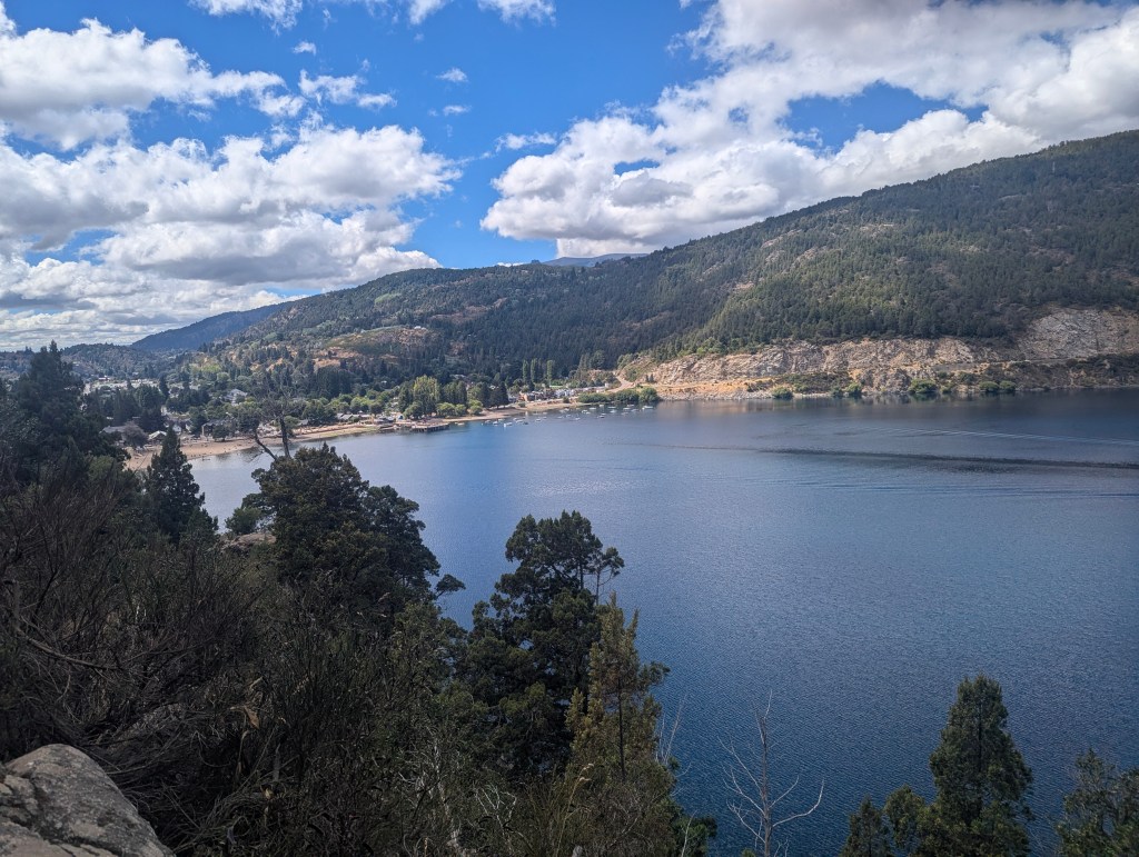
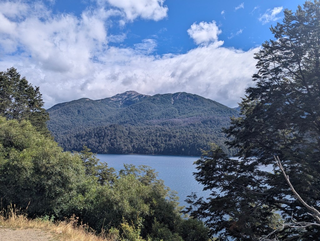
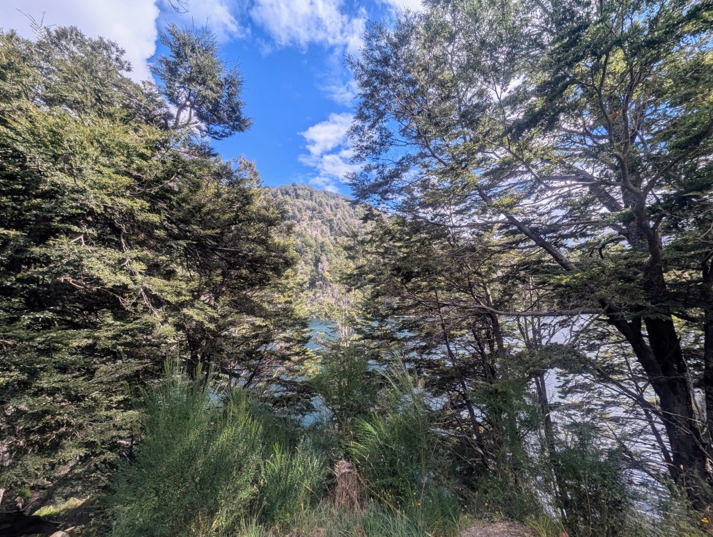
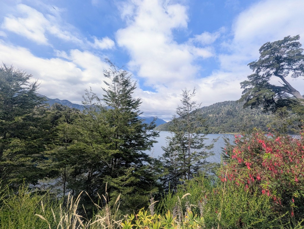
Along the way we had gorgeous views of the lake.
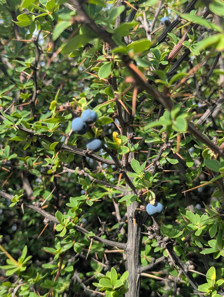
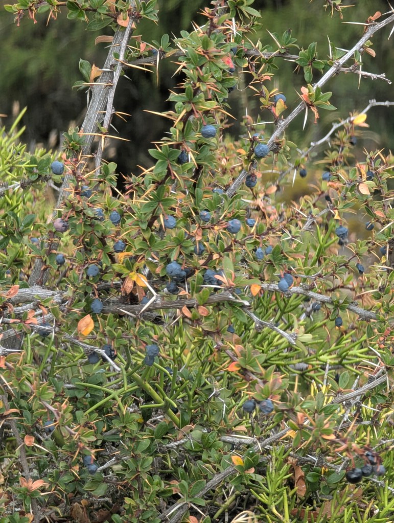
We found a calafate plant still with its blue berries. There are so many thorns, it is hard to imagine how the berries are harvested.
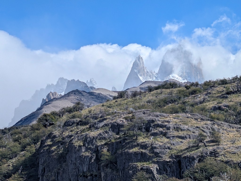
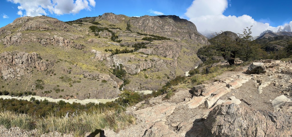
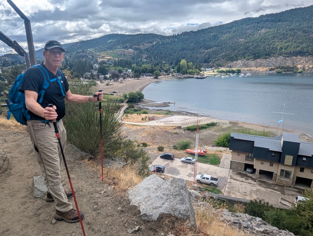
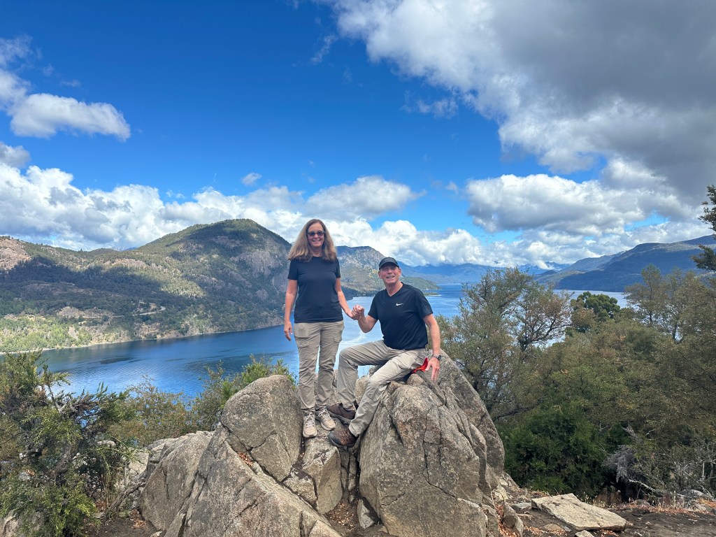
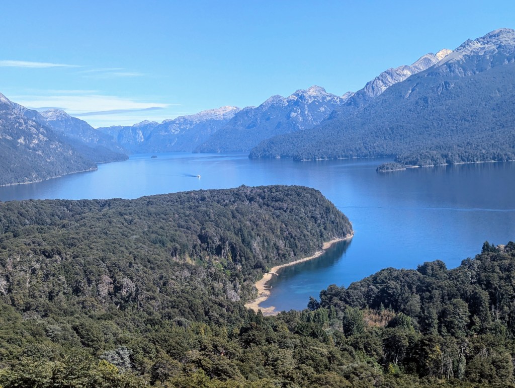
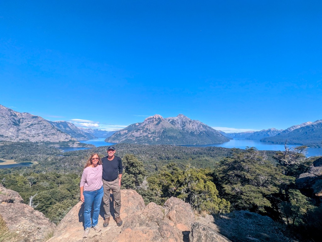
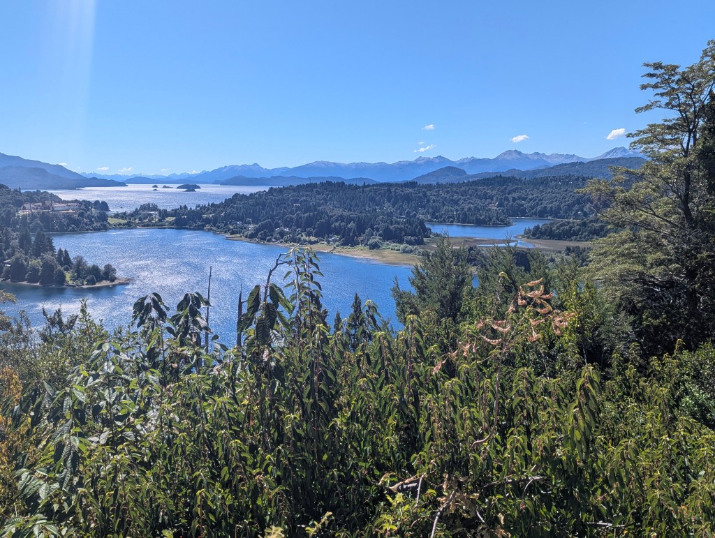
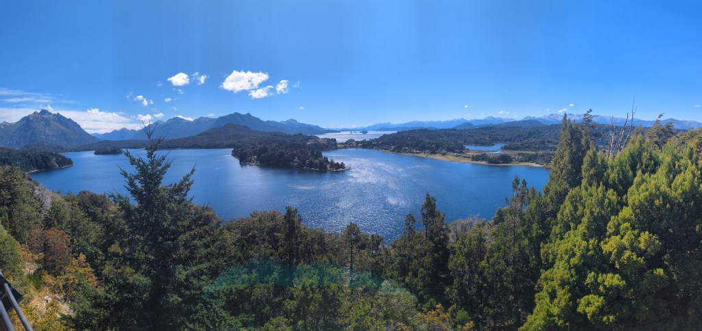
The path was mostly uphill, but only 2 miles each way, so not grueling as our previous hikes in Patagonia had been. Once at the top we were rewarded with stunning views.
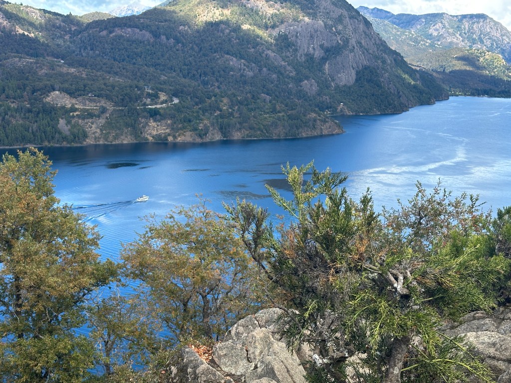
We could see the noon tourist boat traversing the lake.
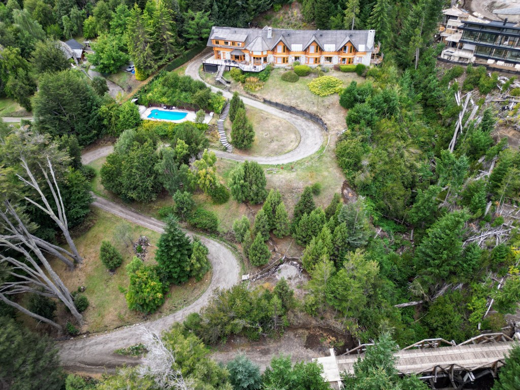
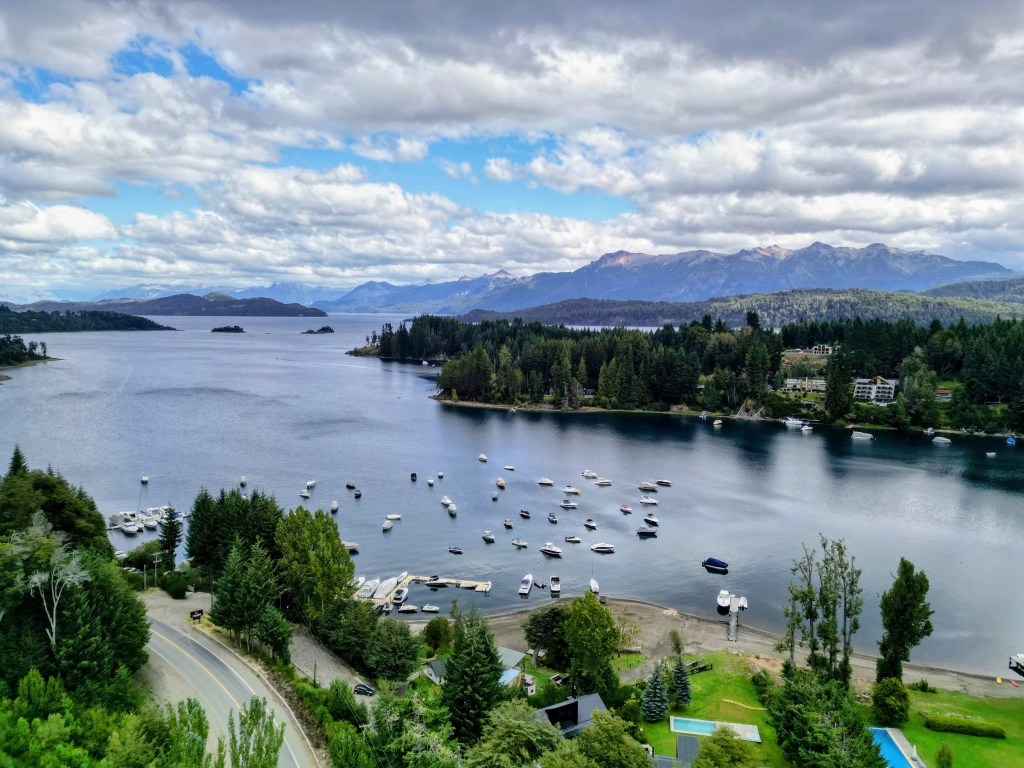
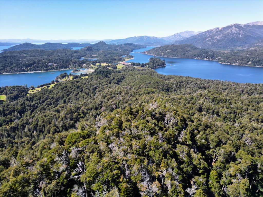
Eric sent up his drone to take some pictures of the lake,
the town,

the beach.
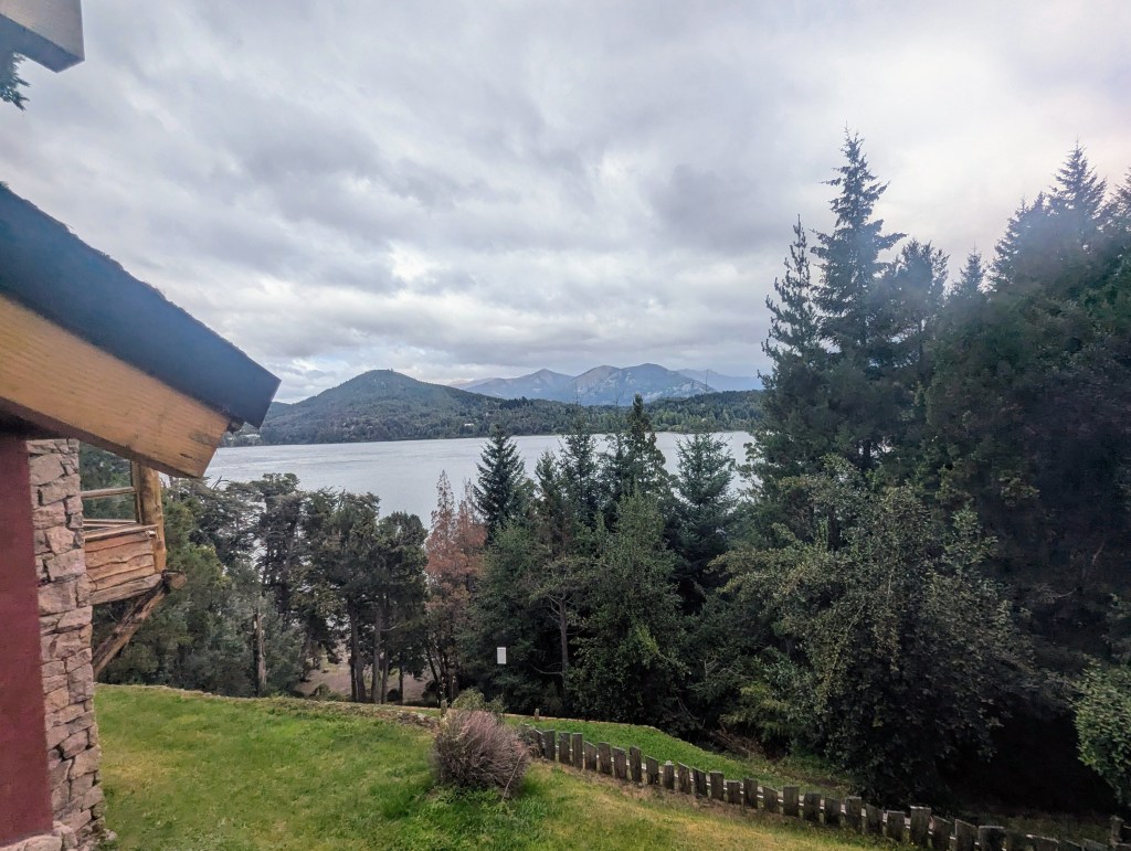
and even one of our hosteria.

As we descended we took in the view of the town from the path.
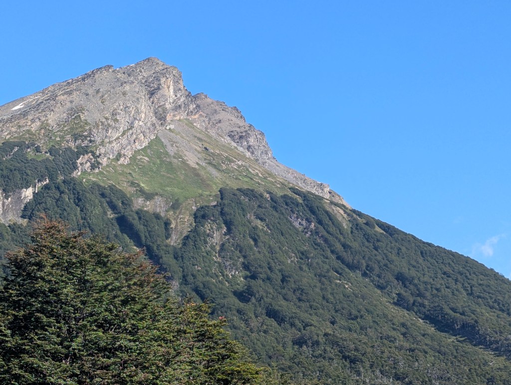
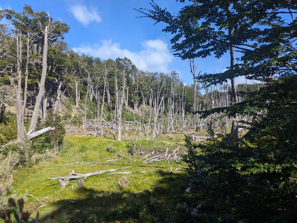
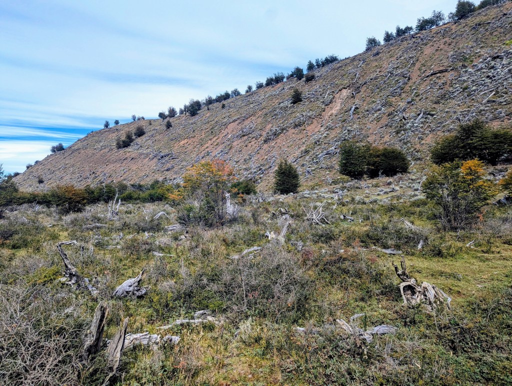
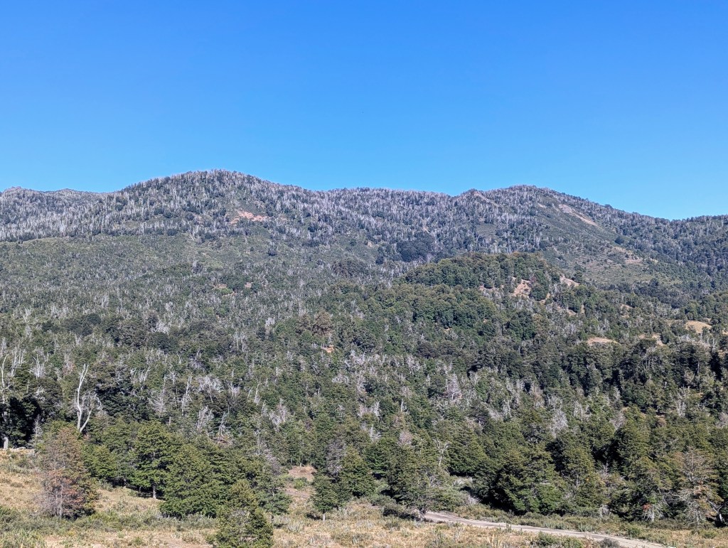
After our hike we treated ourselves to a late lunch/early dinner at a cute Spanish tapas restaurant. The next morning we returned to Villa la Angostura. On our return trip we were blessed with sunshine, at least in the morning. This drive is known as Camino del los 7 Lagos (Road of the 7 Lakes). Along the way are miradors (lookouts) from which to view each lake. As we started our journey, our first observation were all the dead trees in the mountains, a result of infections due to draught situations causing stress on the trees.
The first stop along the way was called Valle del Arroyo Pil Pil. Lake Lácar can be seen below, but the valley is named for the pil pil plant, which is a climbing vine that grows in this humid region on both sides of the Andes and has historically been used for weaving baskets.
Our second stop was Lago Mechónico, which means in the Mapuche language “water with pancoras.” Pancoras are a fresh water crab common in the area.

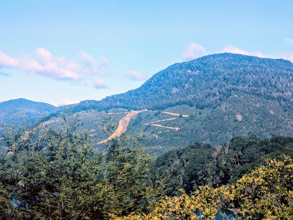
From there we could also see a small local ski resort. Winter sports are as popular in the lakes region as are the summer ones.
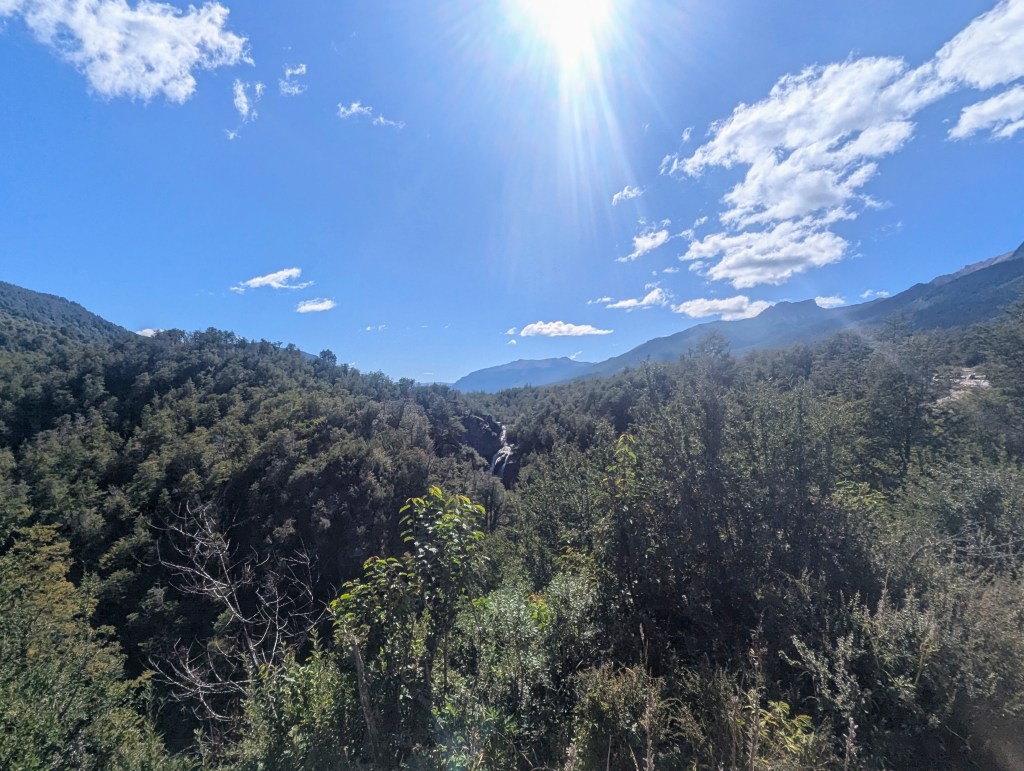
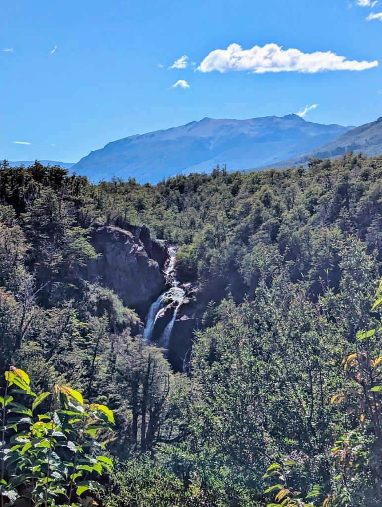
Our next stop was Cascada Vuliñenco, (Waterfall Vuliñenco). Vuliñenco is the Mapuche word for a white-throated hawk that lives in the region.
The Mapuche believe that the vuliñenco is an omen: if it lands with its back to us, it is a bad omen; if it lands facing us, all will be well.
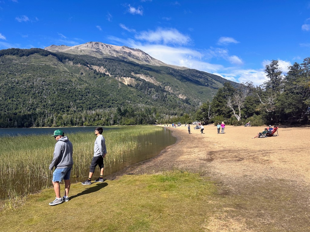
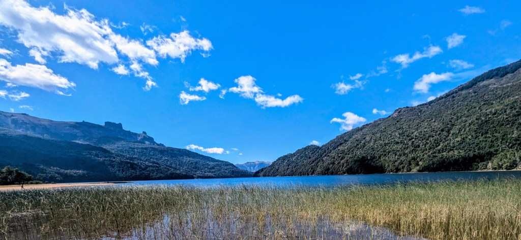
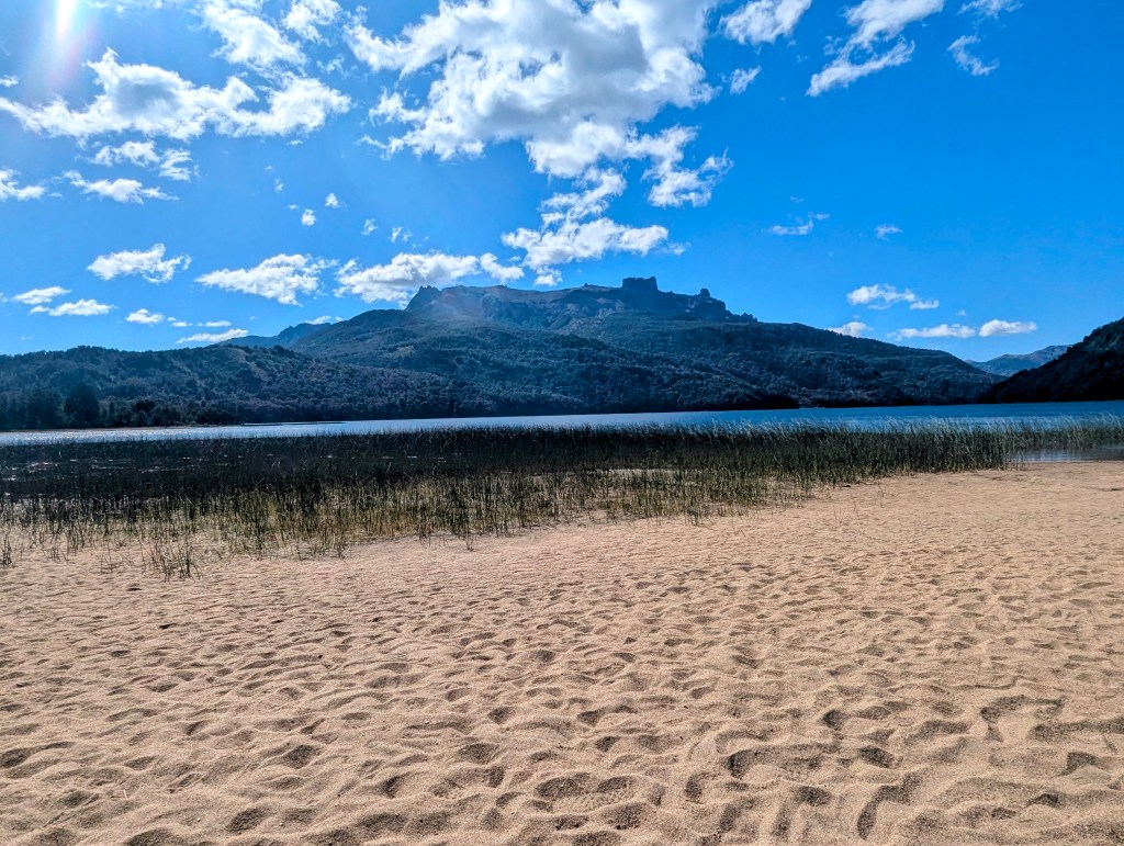
Next we pulled over and joined the folks enjoying Lago Falkner.
This lake was “discovered” by Francisco Moreno in 1886, and he named it in memory of Thomas Falkner (1702-1784) who was a missionary, explorer, and scientist.
We walked along its beach.
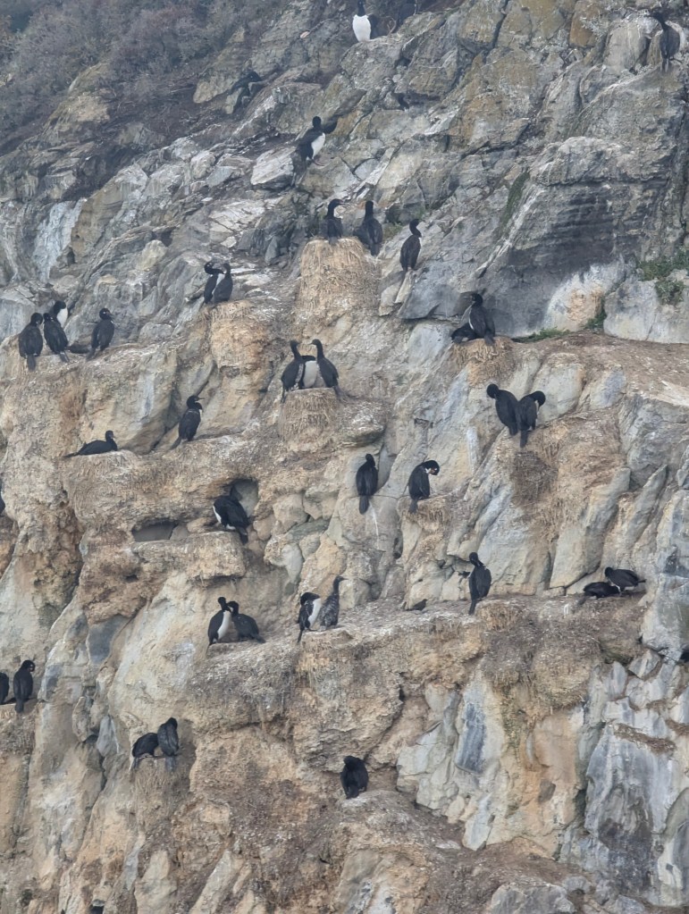
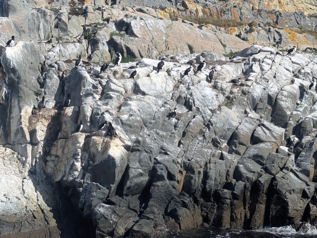
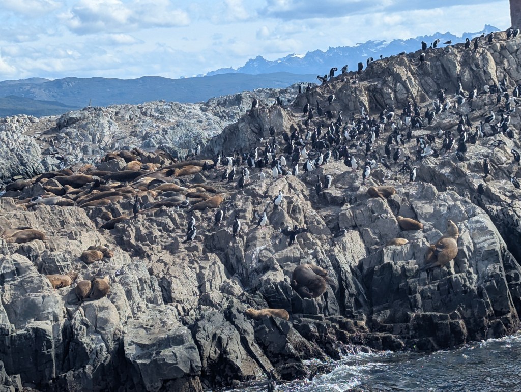
This is a common nesting area for the great glebe, common in the area, but none were seen today.
Next came Lago Villarino which was also “discovered” and named by Moreno. Basilio Villarino (1741-1795) created maps and left diaries that were helpful in the subsequent colonization of Patagonia.
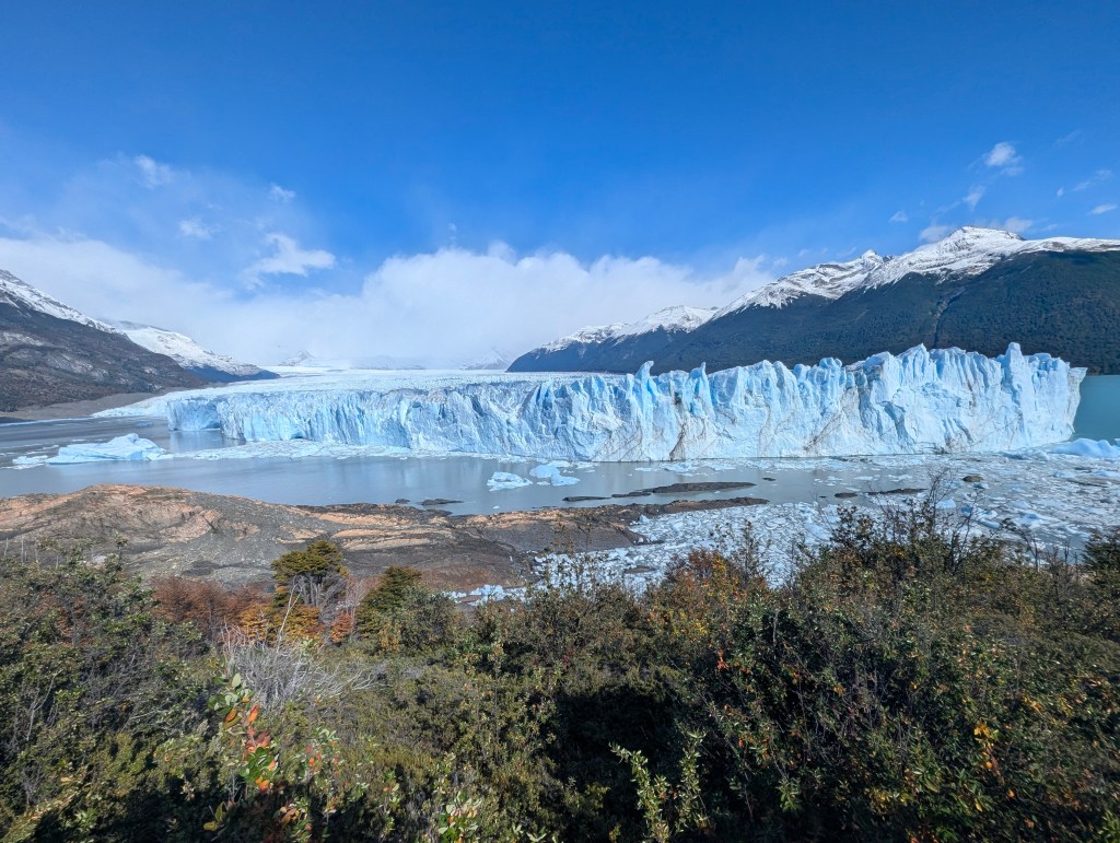
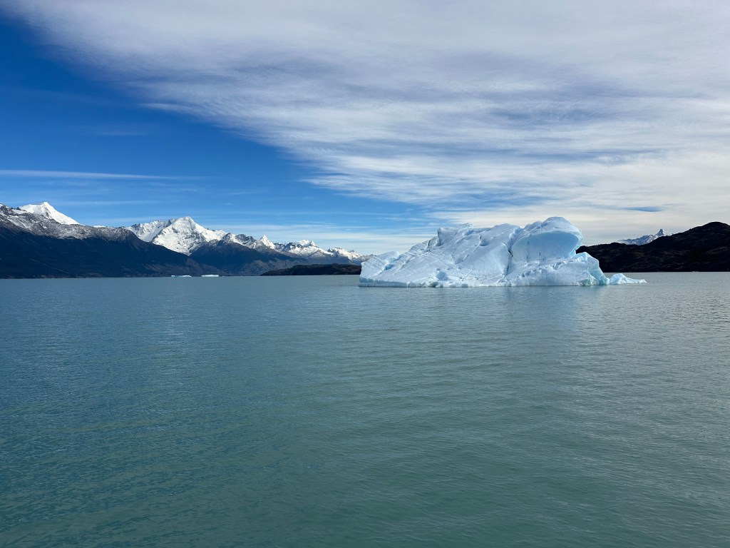
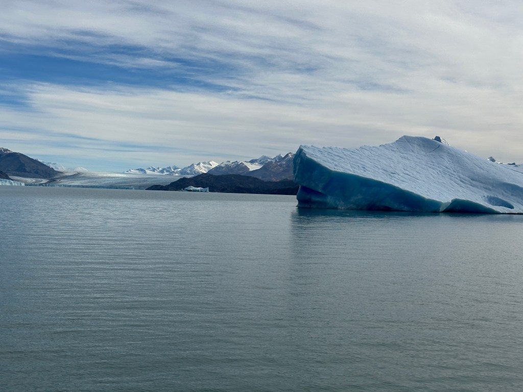
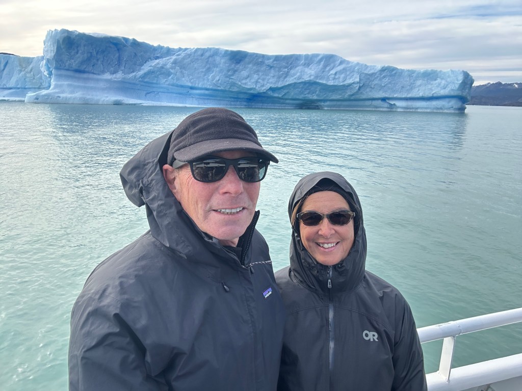
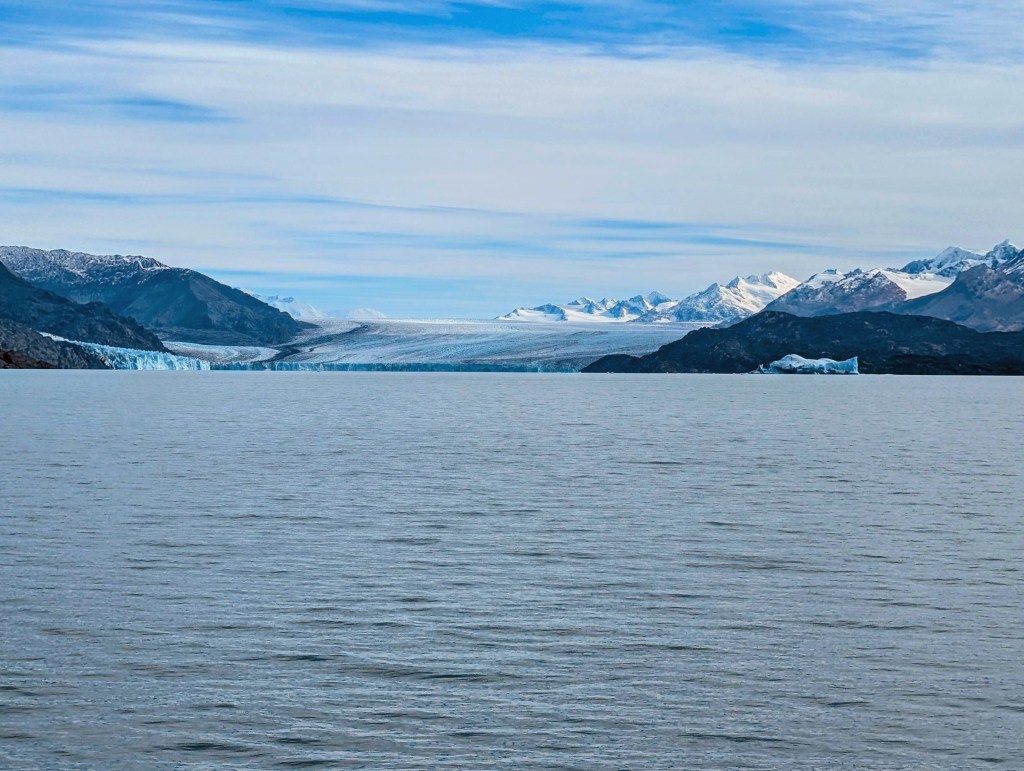
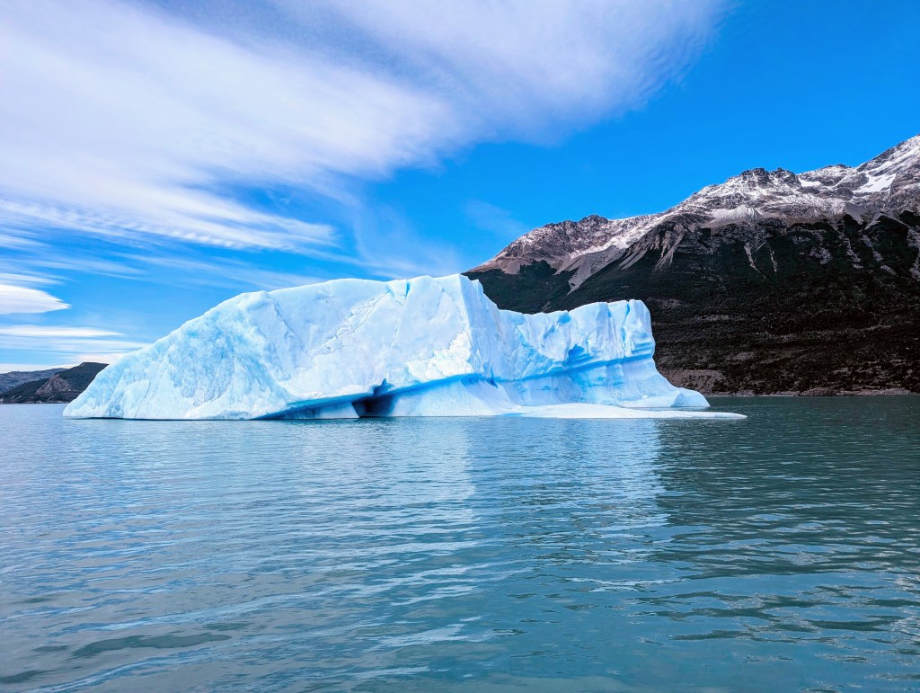
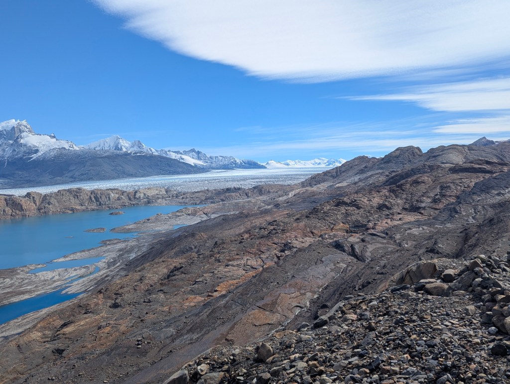
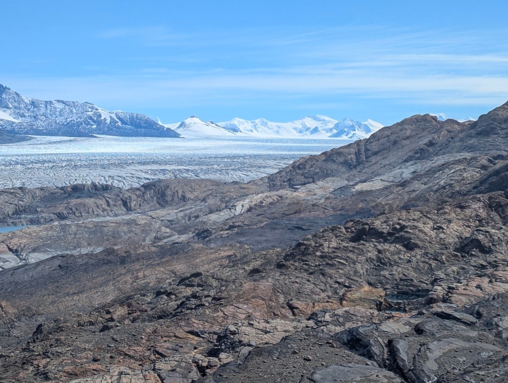
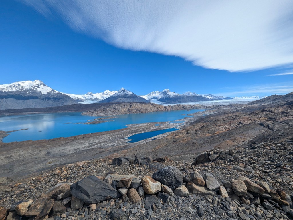
Our fifth lake is called Lago Escondido, which means “Hidden Lake.” The picture speaks for itself.
We drove about 18 miles before we came to the next lake: Lago Correntoso. In the spring this lake is home to the nesting ashy-haired geese.
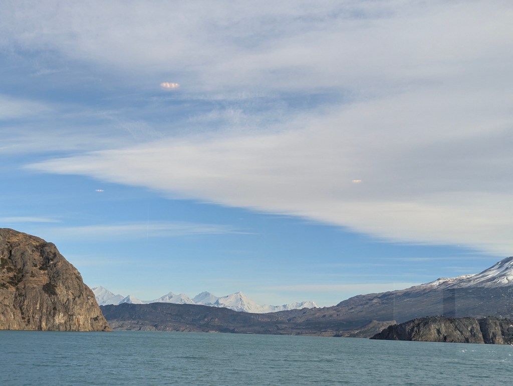
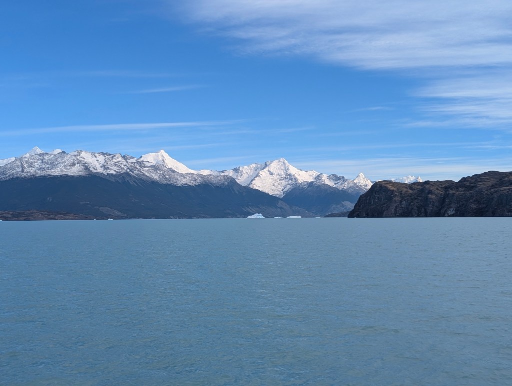
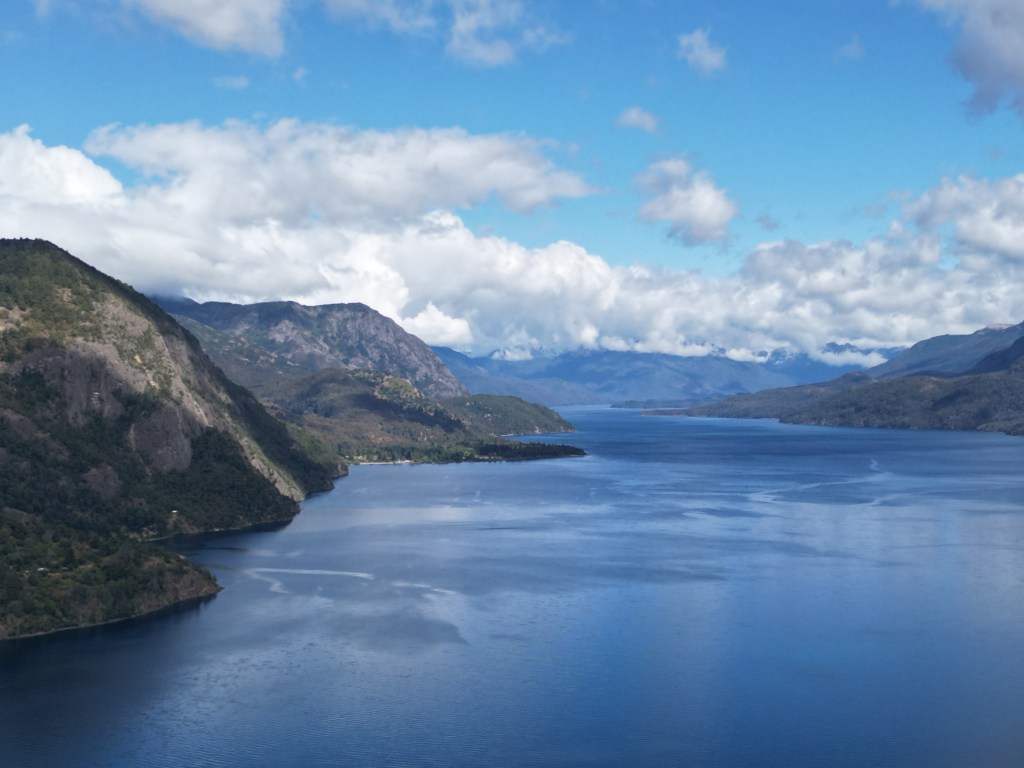
These Patagonian lakes are fed by the snow melt from the Andes and are linked to each other through streams and rivers until they reach the Atlantic ocean to the east.
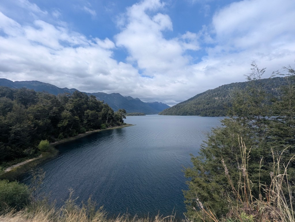
Our seventh, and final lake of the Camino del los 7 Lagos, is called Lago Epejo, which means Mirror Lake. It was named by Enrique Wolff, an explorer, topographer, and engineer who explored this area between 1895 and 1896 and described this lake as the lake “that resembles a mirror.”

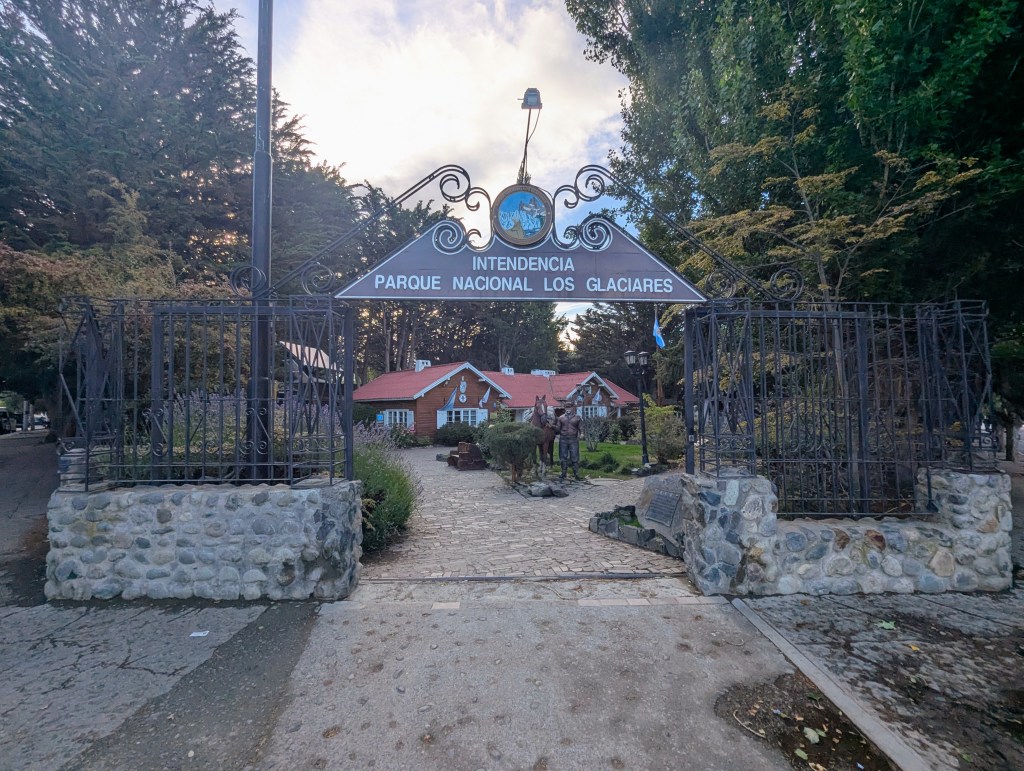
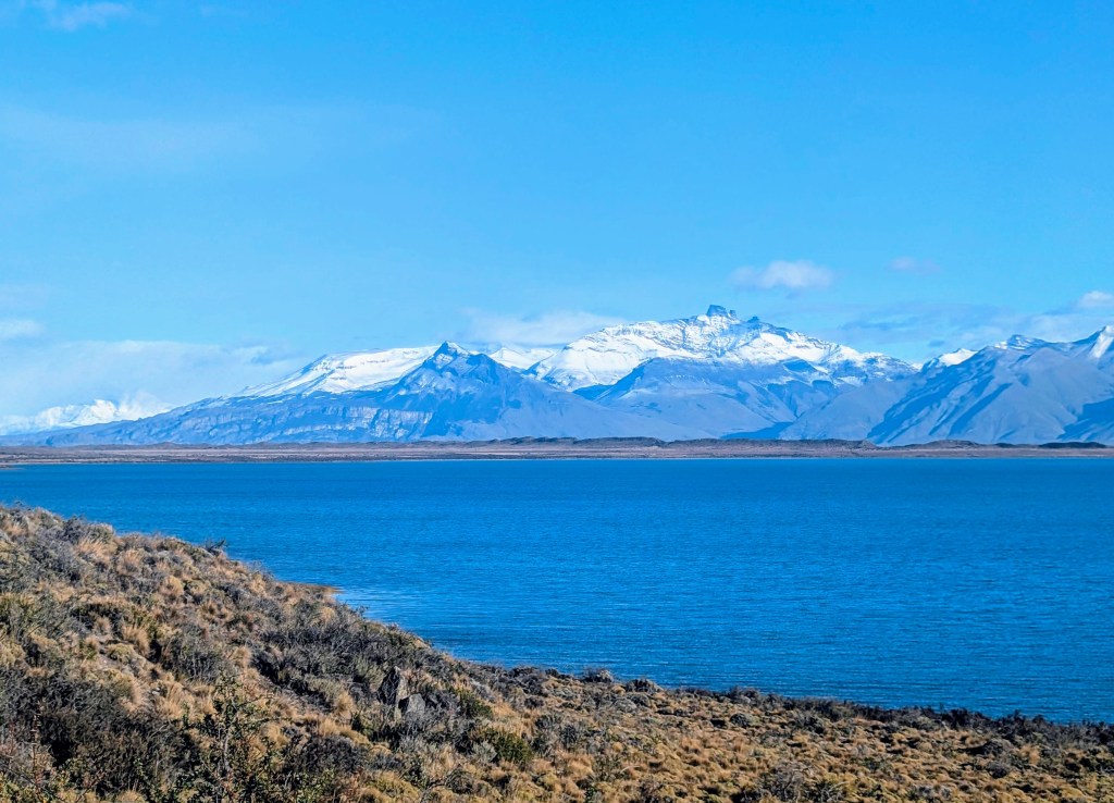
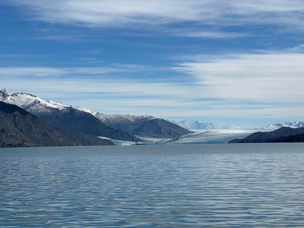
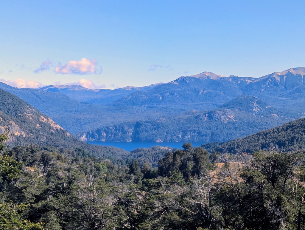
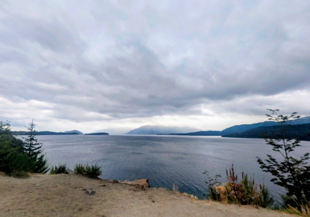
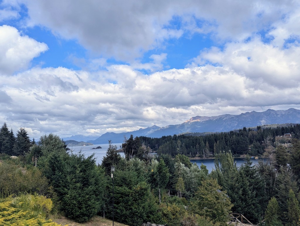
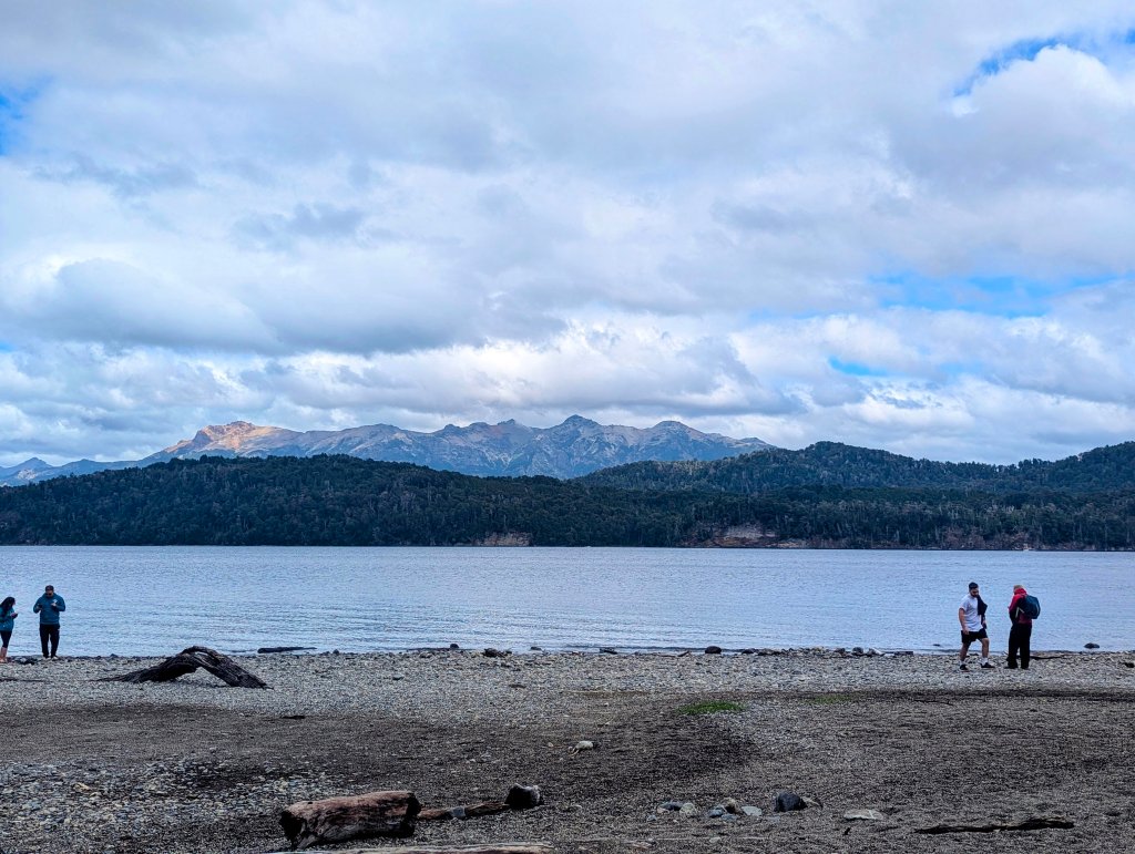
Our final lake of the day, not counted in the 7, is Lago Nahuel Huapi, which gives its name to the national park in which it lies. It was “discovered” in 1610 by Jesuits from Chile. At over 215 square miles, it is about the size of Buenos Aires. Lago Nahuel Huapi is shared by two provinces: 80% lies in the Nequén Province, where we have been these last few days, and 20% in the Rio Negro Province, where we head next.
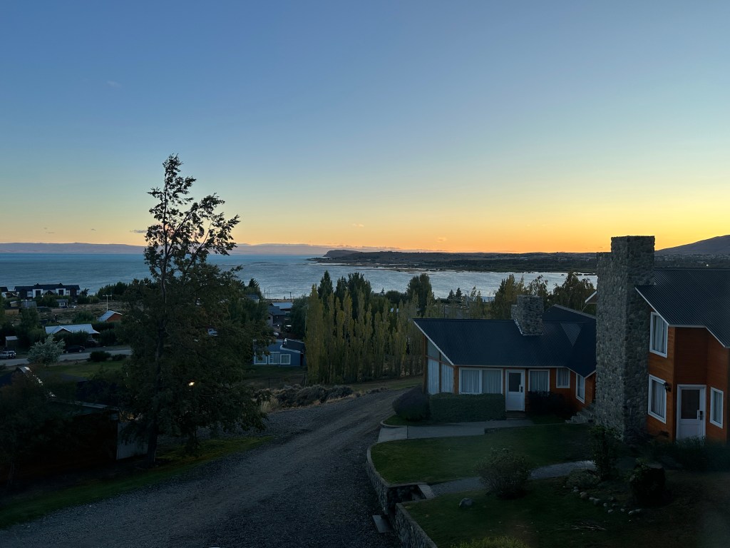
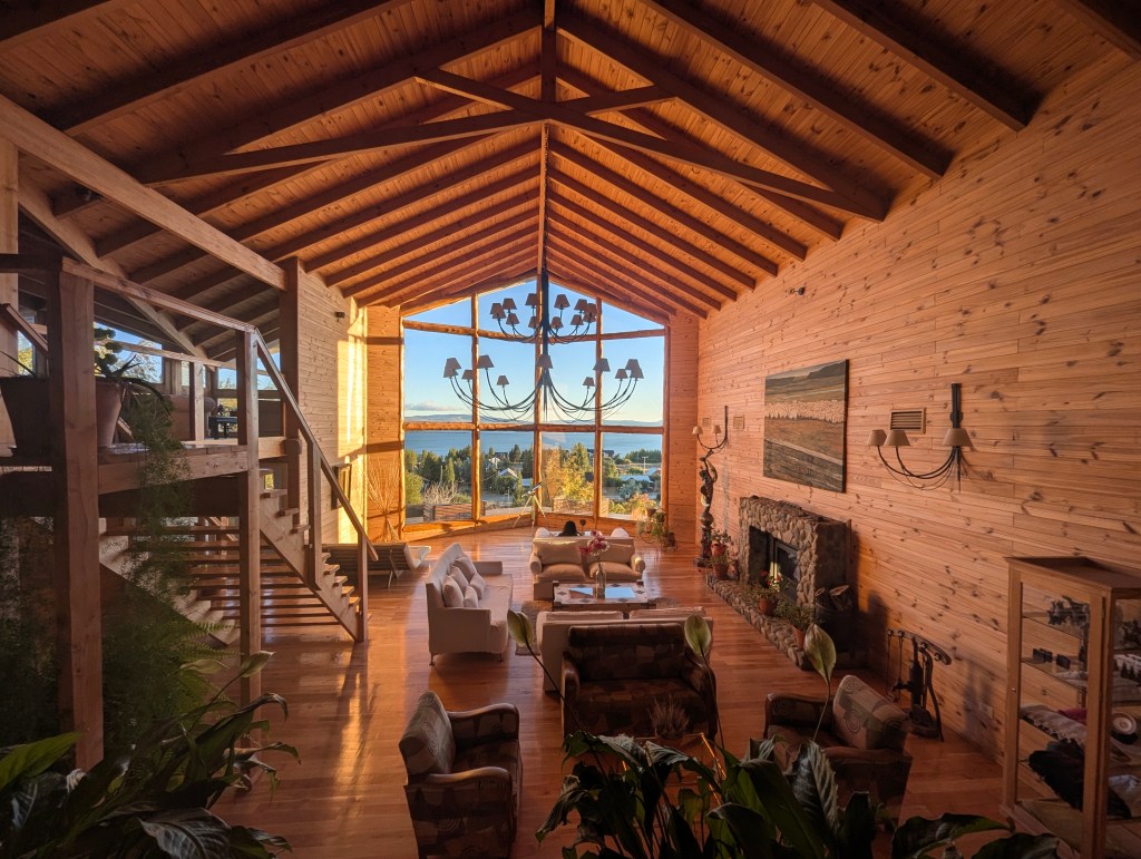
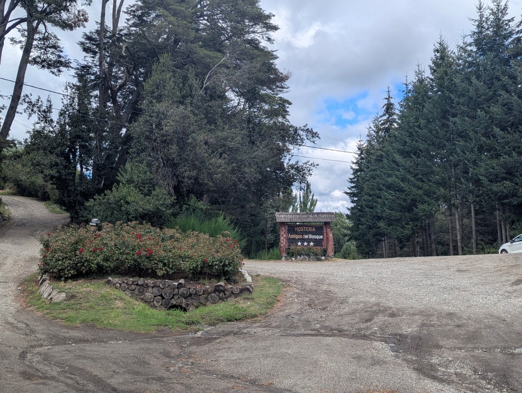
As the weather was turning, and we had reached our destination of Villa La Angostura, it was time to check in to our next hosteria: Amigos del Bosque (Friends of the Forest).
We had quite the drive up
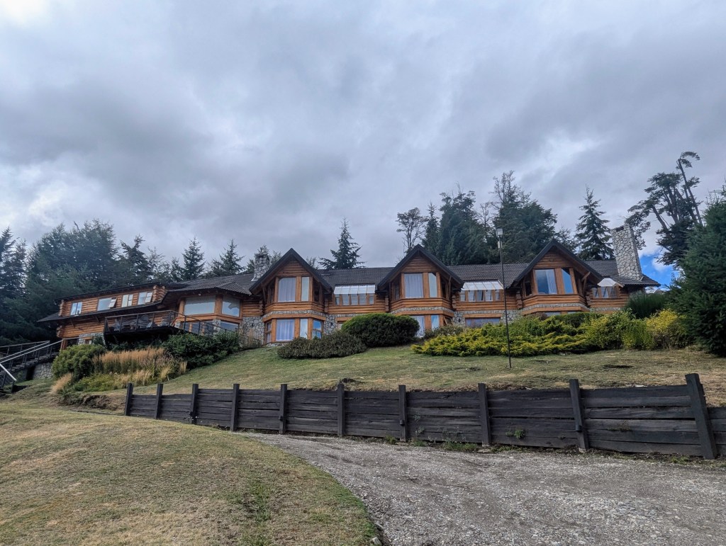

But the view was worth it once we had arrived.
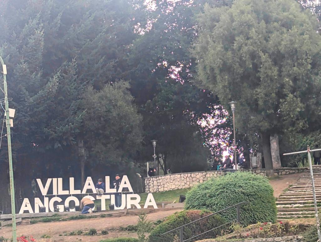
Once we’d settled in, we headed into town for dinner. Villa La Angostura (Town of the Narrowing) is at an altitude of about 2.500 feet and has a population of 11,000. It too is a popular tourist destination for both winter and summer activities. The town itself is much smaller than San Martín de los Andes with only one main street, the rest unpaved.
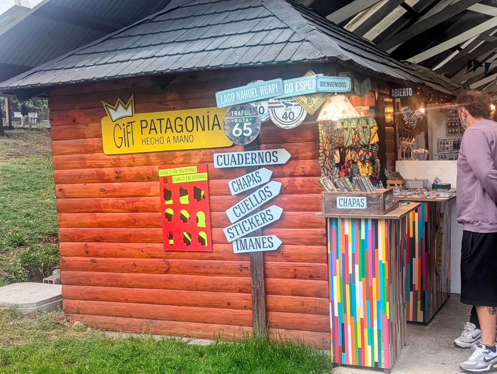
But it does have its share of shops, bars, and hand crafted souvenirs.
We found a tiny local restaurant. When the waiter realized we did not speak Spanish, he sent over his friend who spoke Portuguese thinking we were from Brazil. They were both so surprised to find out we were from the US; not many find this tiny spot.
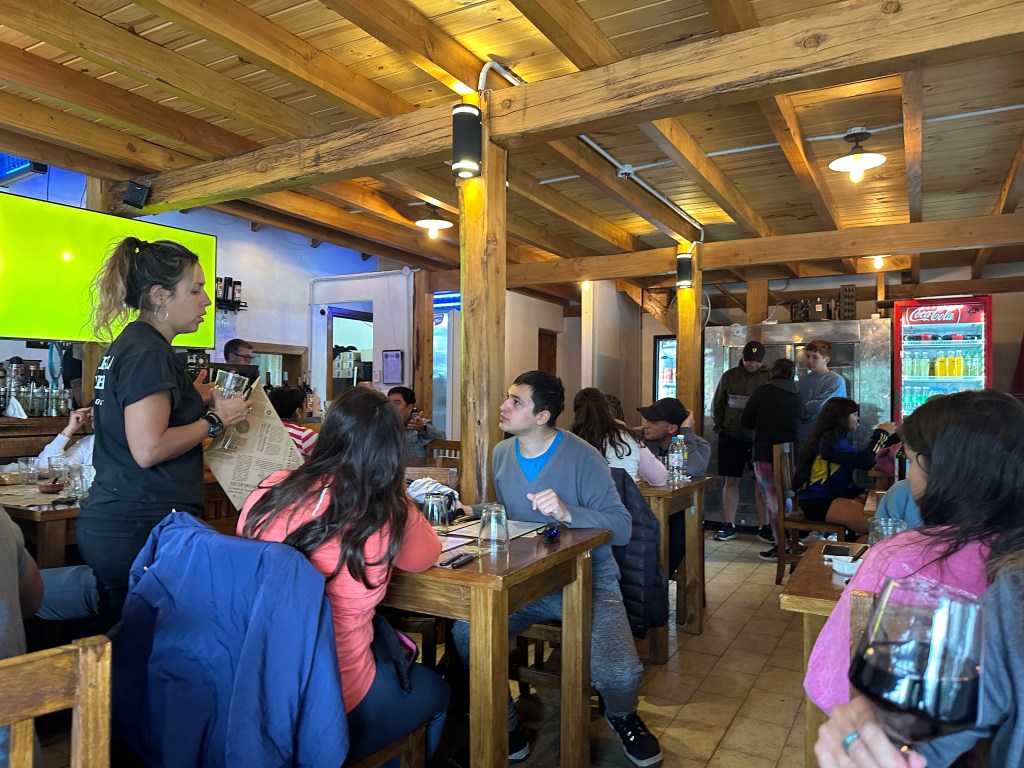
They were so warm and welcoming. And the placemat had a hint from home.
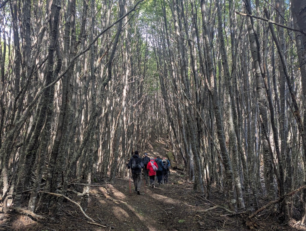
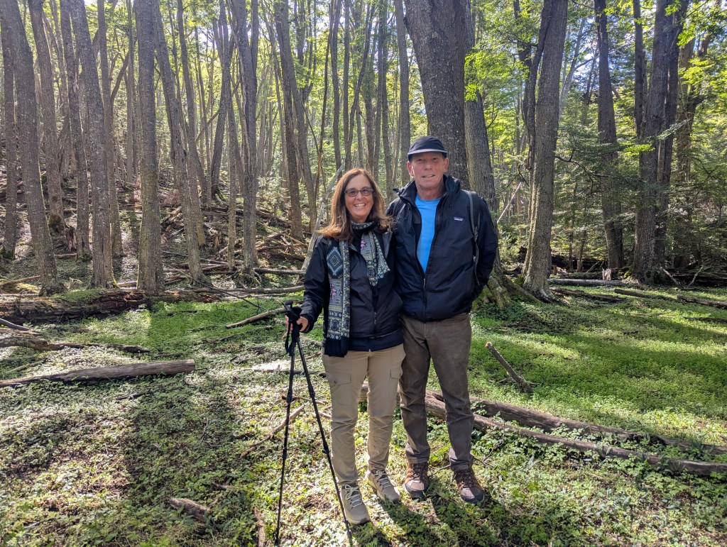
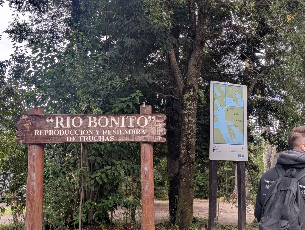
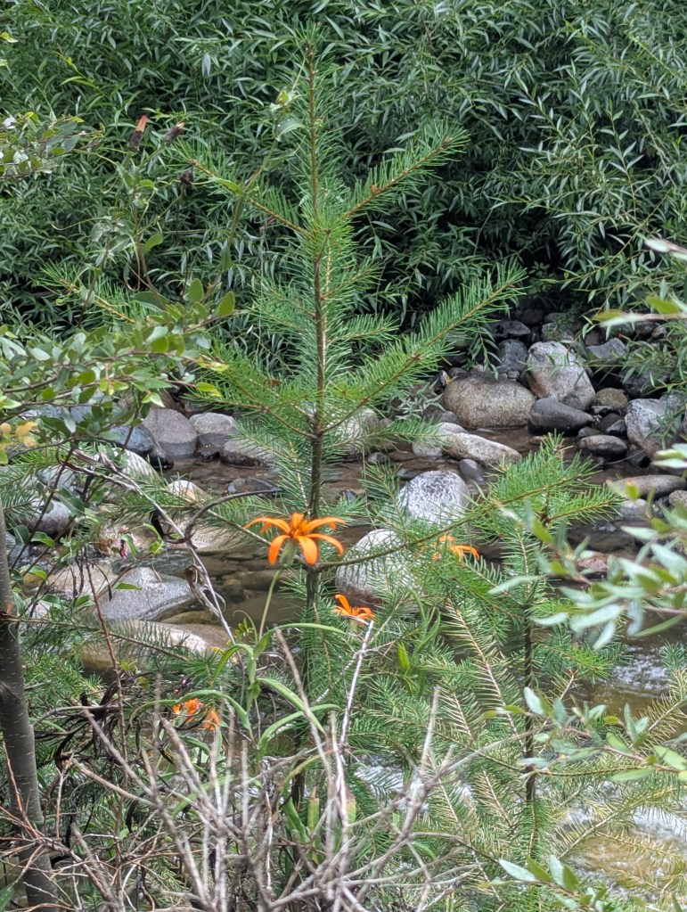
In the morning the sun was once again shining. The big attraction in the area is Parque Nacional los Arrayanes, an ancient forest of myrtle trees. But reading reviews online which described the trail as very long (over 7 miles round trip), boring, and mostly dead trees, we opted for a smaller hike instead. We headed to the Rio Bonito (Beautiful River) trail. The trailhead marker informed us that this is a place for Reproduction and Research of trout.
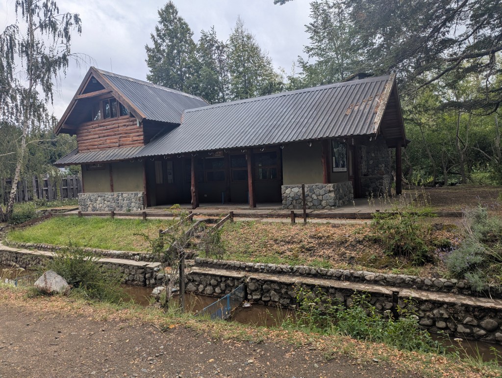
The conservancy building was right at the beginning of the trail.
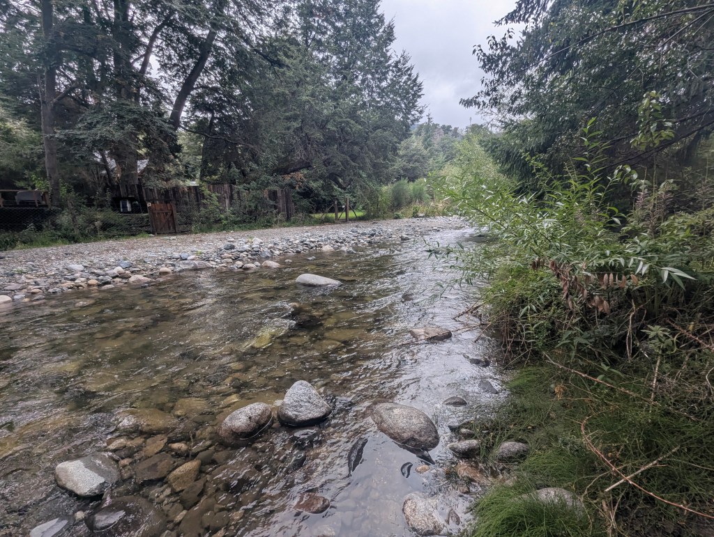
The river (really more of a stream) lived up to its name.

The whole vibe of the place is very much like upstate NY/Adirondack’s rivers and streams meets Colorado’s Rockies.
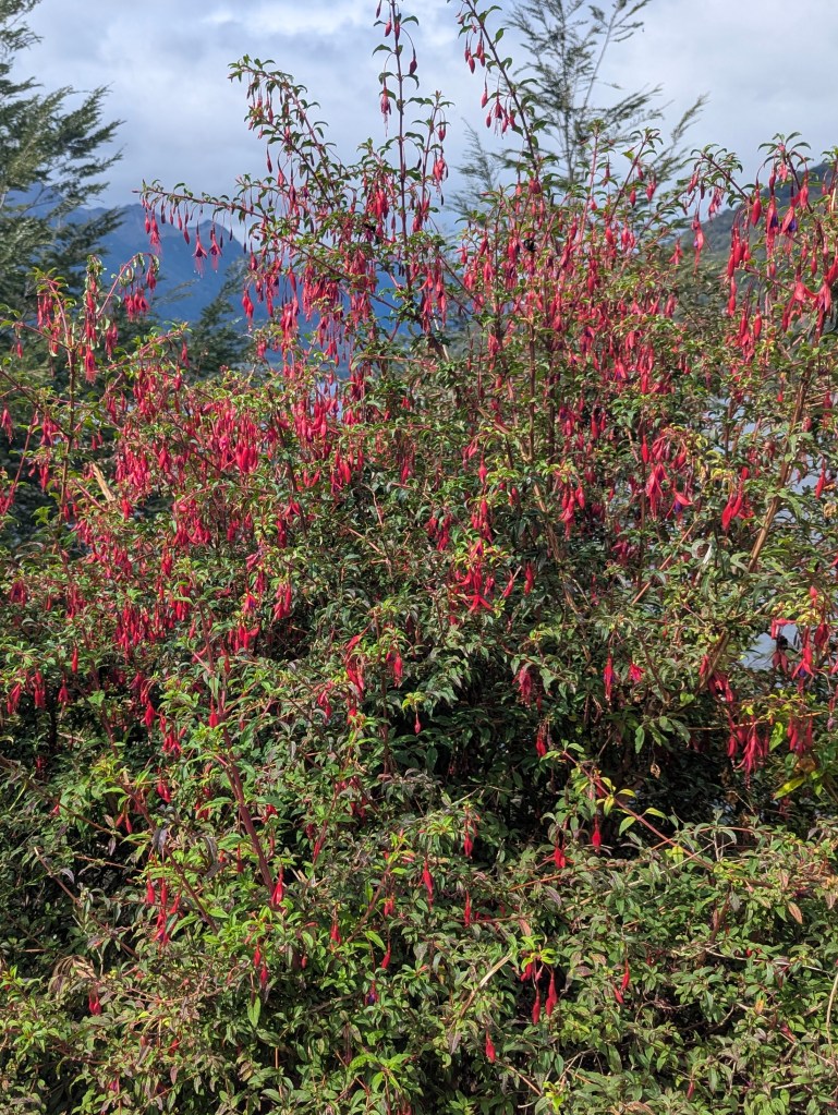
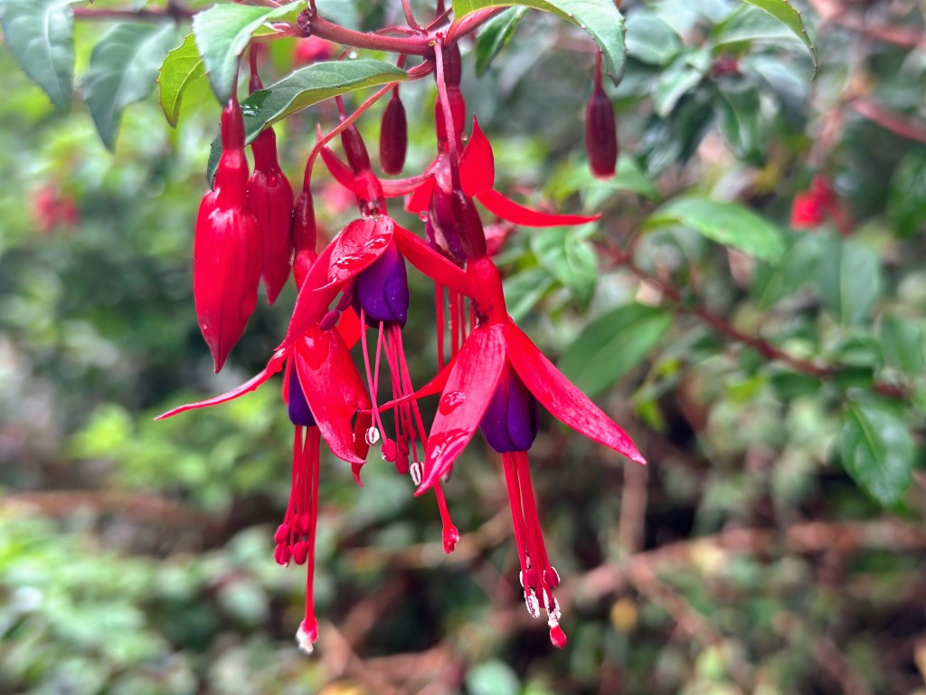
Along the way we were treated to lots of plants in bloom including fuscias (chilco is Spanish)
wild asters
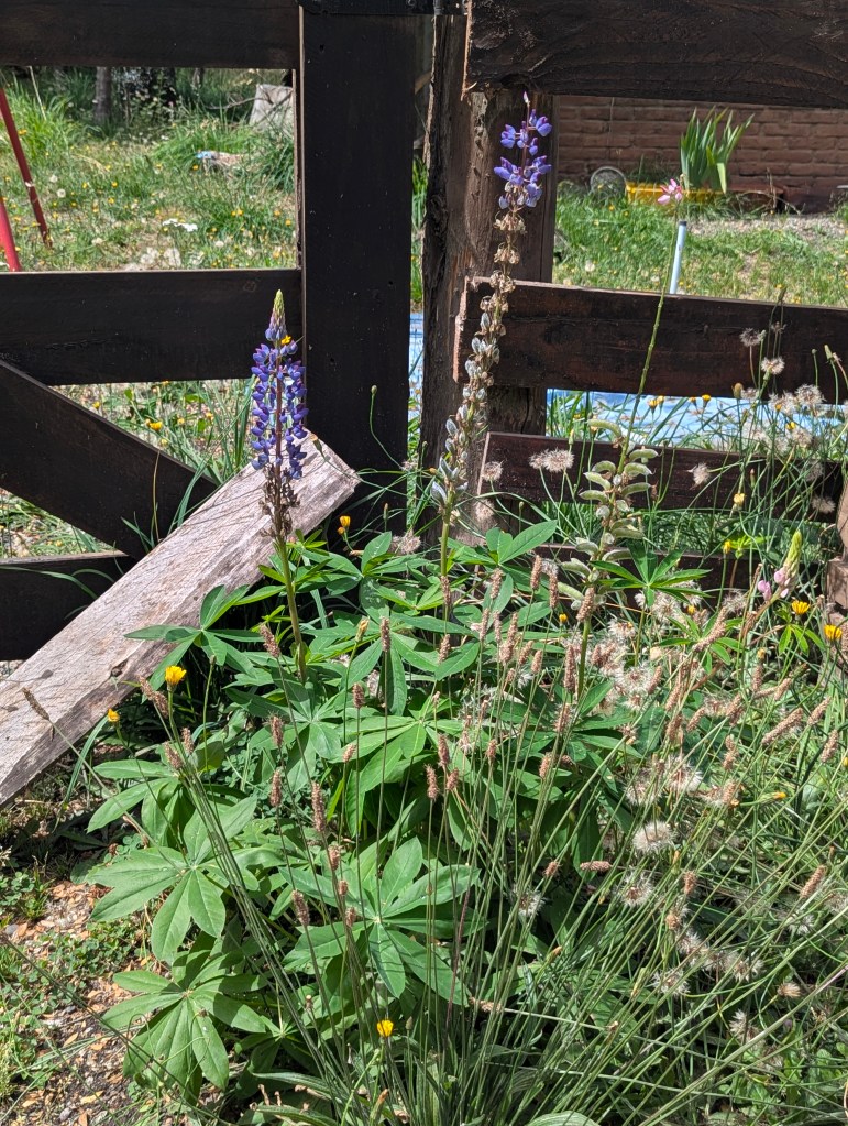
and lupines.
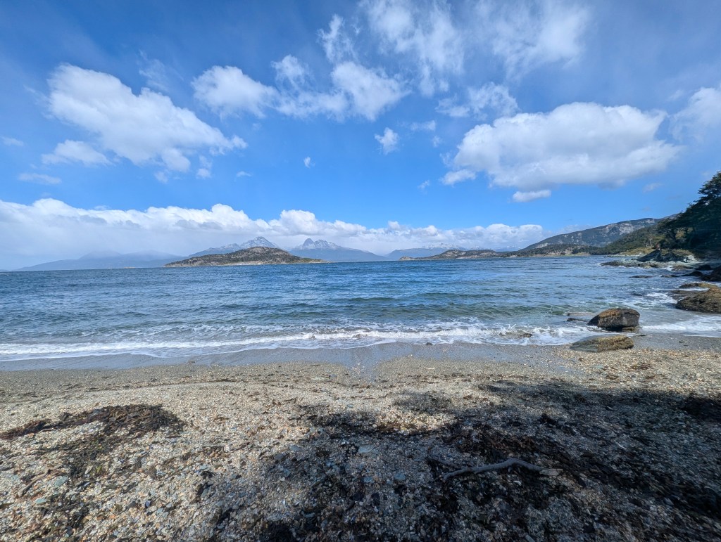
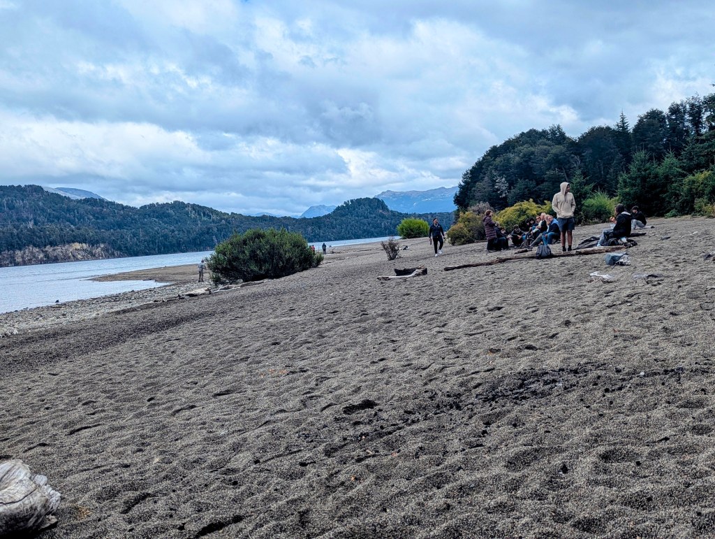
The path emerged from the forest onto a beach.
Of course the Argentinians enjoying the beach were also enjoying their yerba mates.
We strolled around taking in the beauty of the day.
Eric sent up his drone to take some more pics of the lake and the campsites that dot its shores.
and a drone selfie
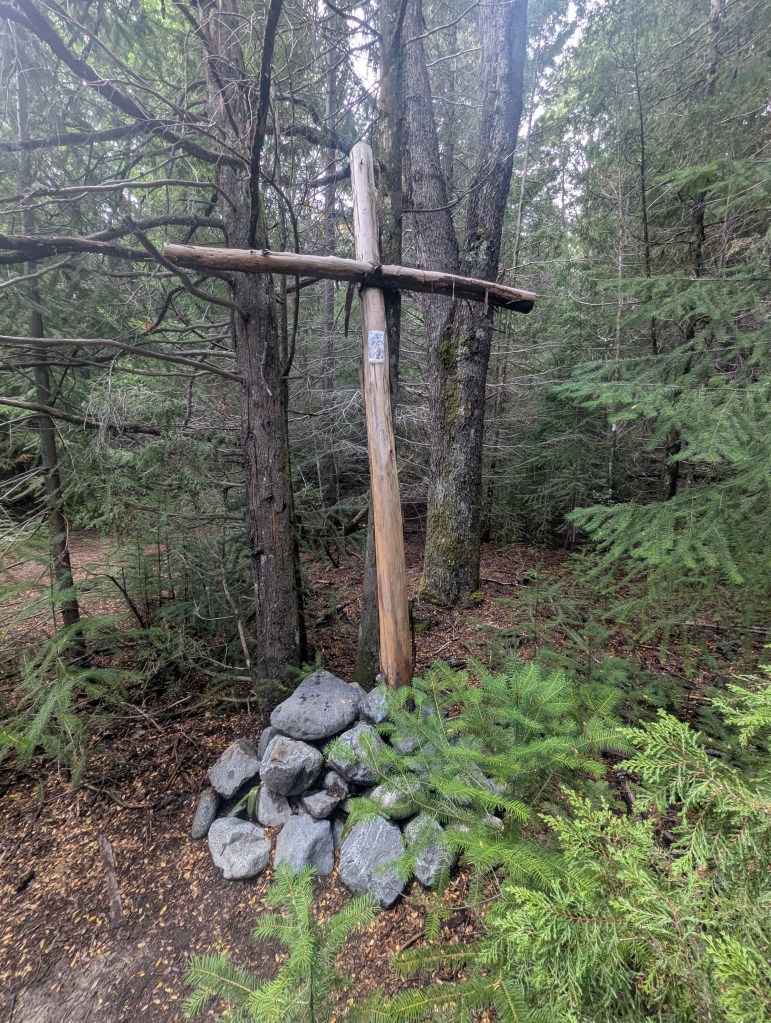
On our return trip through the woods we noted a cross, not a site often seen on a hike.
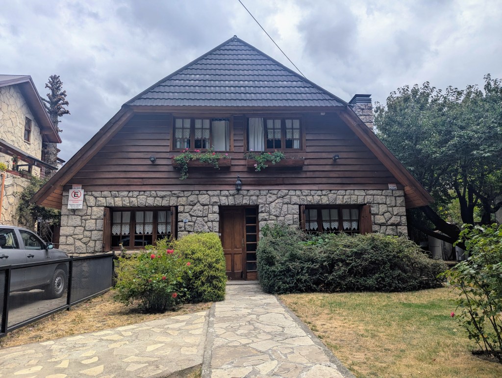
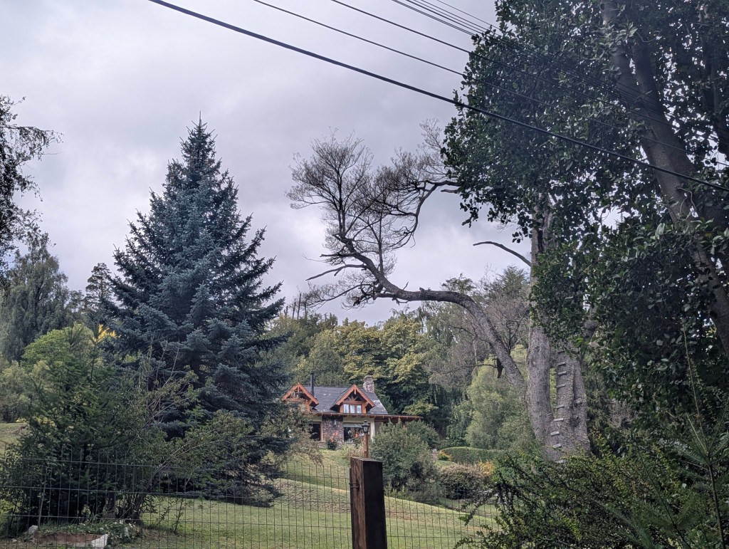
We took the back roads return to our hosteria on foot and observed how cute some of the local homes are with their Alpine wood style,
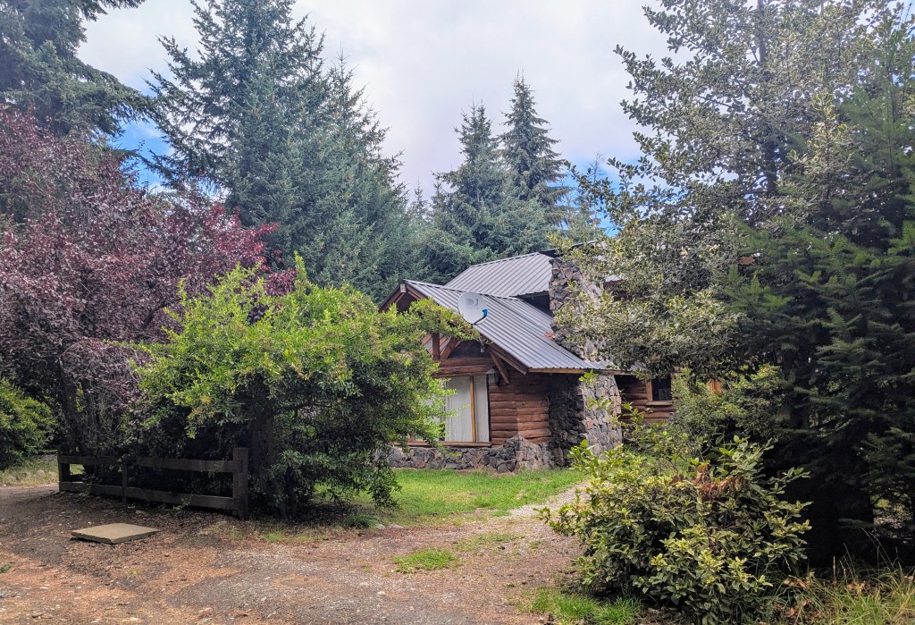
noting the use of the ubiquitous mountain ash in landscaping.
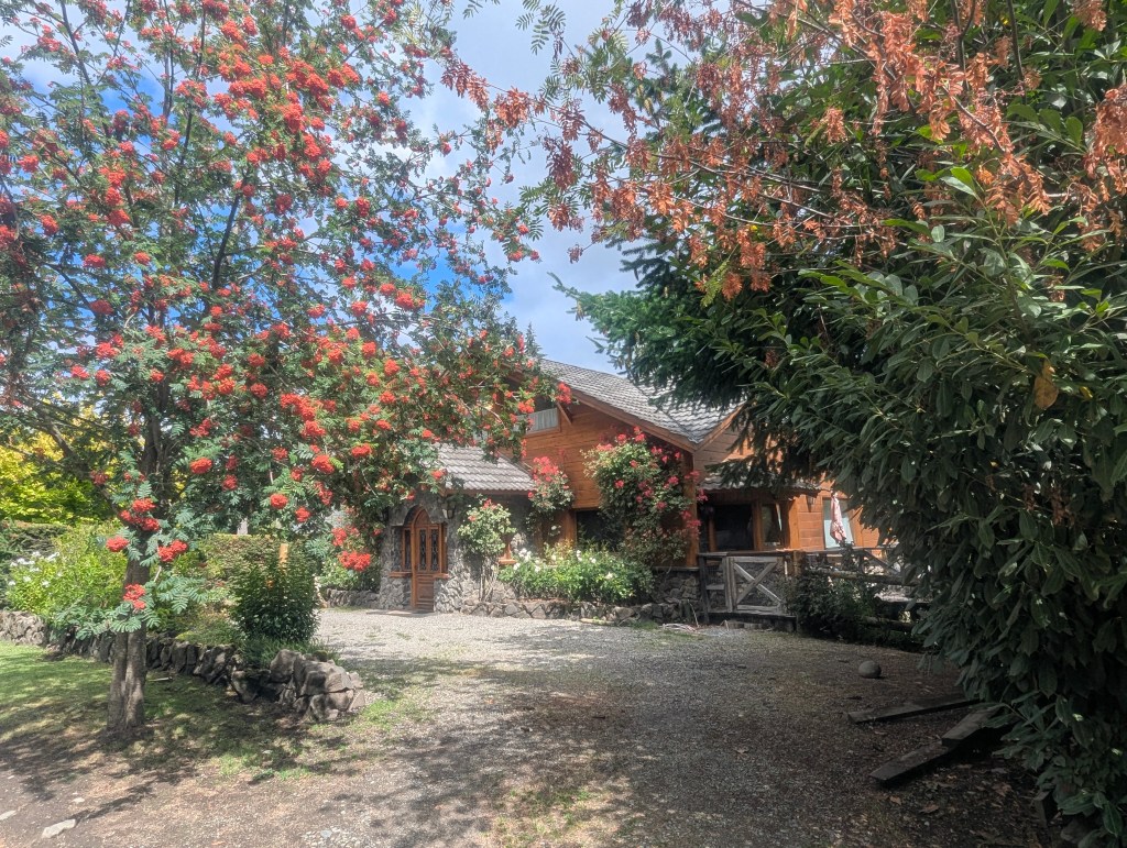
Some homes are more palatial than others.
Once back at the hosteria, Eric again sent up the drone to record the challenging driveway that we had just climbed on foot.
and to take a look at nearby Puerto Manzano.
In keeping with our attempt to blend with the locals, we headed to a nearby small bar for dinner.

The following morning we set out for Bariloche. Once again there was a light drizzle of rain. But this time it blessed us with a rainbow over Lago Nahuel Huapi.

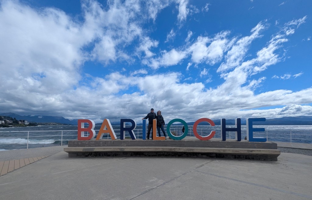
We followed the lake all the way back to the Rio Negro province town of Bariloche. We had to take a detour back to Hertz at the airport because our car was taking on water from all the rain, actual puddles on the driver’s side floor. The customer service rep who had responded to our WhatsApp query, understood our concern and agreed that we had “rented a car, not a boat,” lol. With our upgraded car, we headed into the town of Bariloche, formally San Carlos de Bariloche. With a population of over 135,000, it is not only the largest city in the Rio Negro province, but also the largest in the Patagonian Andes. The name Bariloche comes from the Mapudungun word Vuriloche meaning “people from behind the mountain.” The town was settled in the 1930s by Germans arriving from neighboring southern Chile, and today maintains a culture of craft beers. But mostly Bariloche has been known as a hub for outdoor adventures, both summer and winter, since the formation of the national parks in the 1940s. Nearby Cerro Cathedral is the largest ski resort in South America. Arriving from the east, we passed through the main city itself, which we found dirty, run-down, not pleasant. We were interested in their traffic light “count-down” system we had not seen elsewhere.

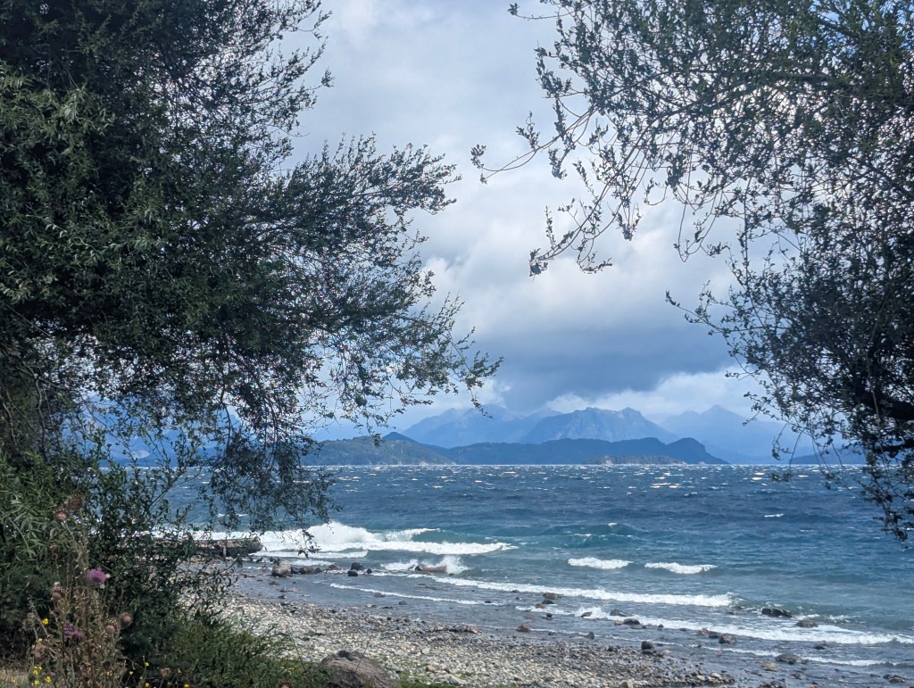
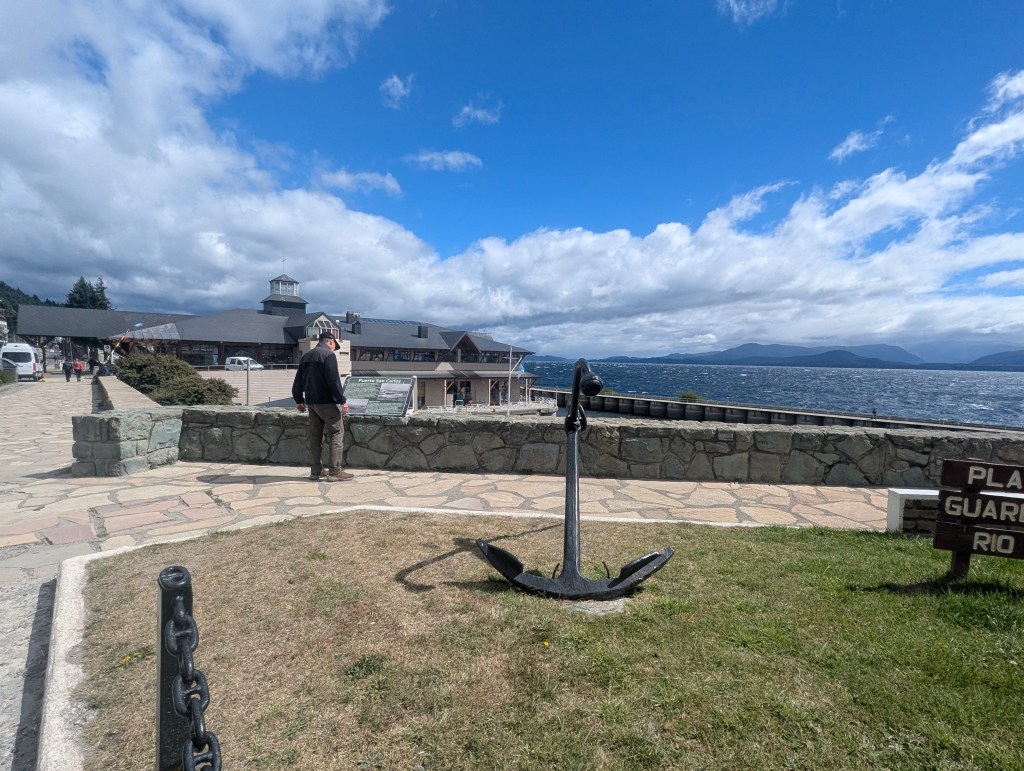
We passed through the city to the shore. By this time it was very windy, drizzling, and chilly, but we walked a bit along the Lago Nahuel Huapi shore, which, with the white caps and waves, resembled more of an ocean bay than a lake shore.
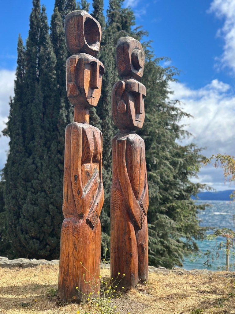
We moseyed our way toward the Puerto de San Carlos. Along the way we saw several 6 foot high carved pine couples. They represent the mythical ancestors of the Mapuche people who always appear as a couple.

They were made by the Chilean artist Bernardo Oyarzun in 2012. They symbolize the Mapuche man and woman, looking towards the East, where life comes from, according to said culture.
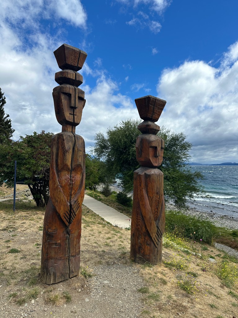
It is common to find this type of totems in neighboring Chile, in the regions with the greatest presence of this culture, that is, from the Maule region to the south.
We made our way to Puerto San Carlos, established in 1895 as a trading port with Chile. Today it serves only for tourism.
On a nicer day the beach would be more crowded.

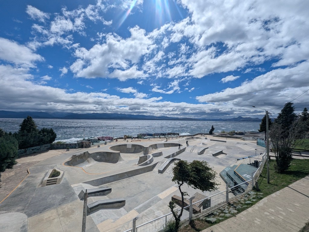
The port is also home to the most impressive and beautifully set skateboard park we have seen.
We arrived back to our car beside a local church.

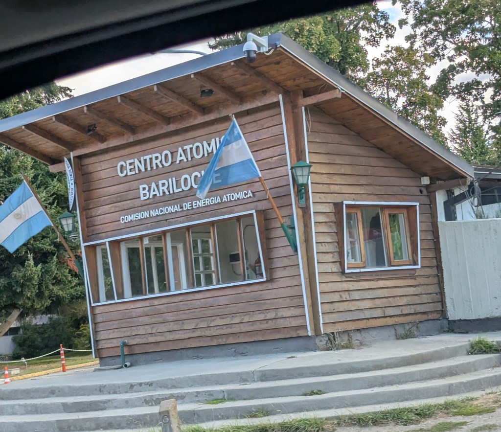
and headed to our hotel which was about 40 minutes out of town. Along the way we passed Centro Atómico Bariloche. Besides tourism and related services, Bariloche is home of advanced scientific and technological activities. The Centro Atómico Bariloche is a research center of the National Atomic Energy Commission, where basic and applied research in many areas of the physical sciences is carried out. A weird juxtaposition, there is a children’s playground beside it.
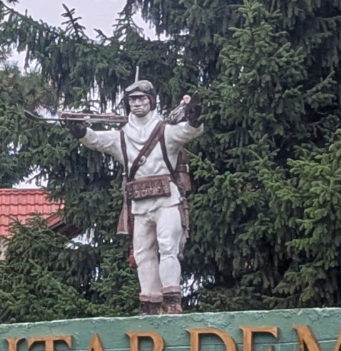
Bariloche is home to the army’s “12° Regimiento de Infantería de Montaña” (12th Mountain Infantry Regiment), where military personnel are instructed in mountainous conditions, including combat, survival, and skiing.
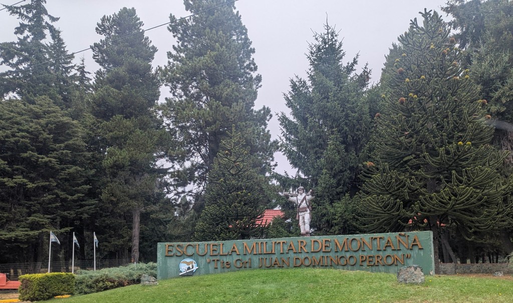
It may not be obvious from my picture taken from a moving vehicle, but the statue is carrying skis.
Our hotel is located on a small peninsula, aptly named the Petit Peninsula Hotel.
with another gorgeous view from our room.
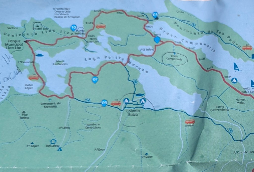
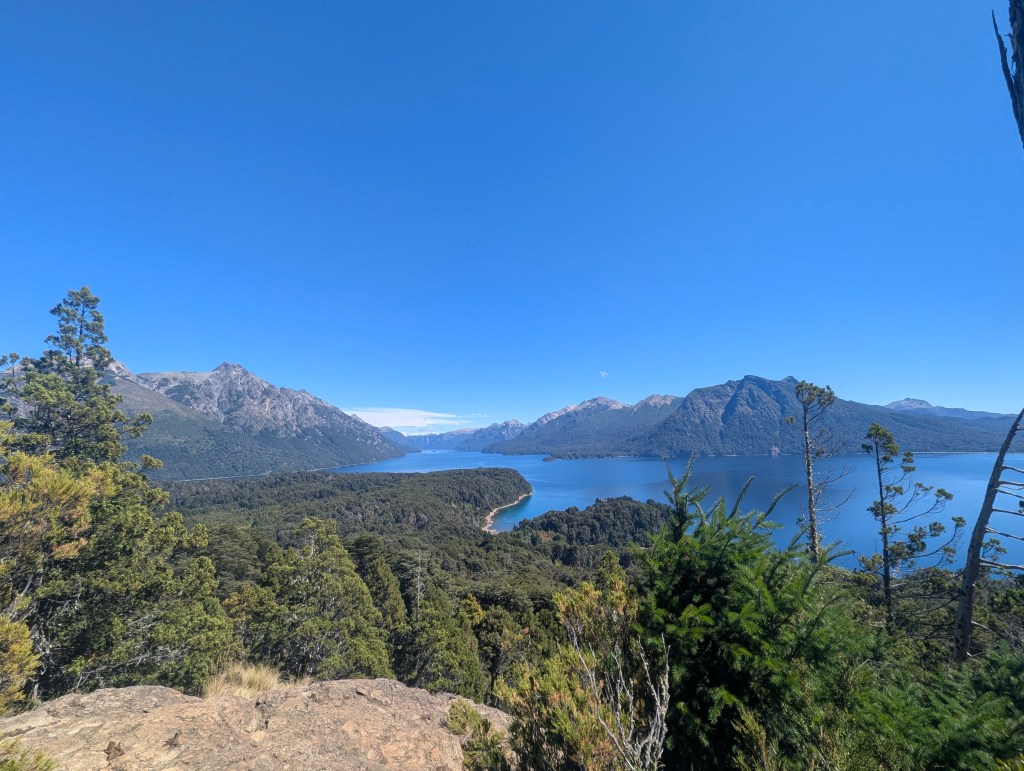
The most popular tourist activity in Bariloche is to drive the Circuito Chico (Small Circuit). Despite the inclement weather, the reception suggested we take the drive and determine where we would like to return the following day. She provided us with a map of the area

and showed us on the map, we are the dot by the blue “03” at the top on the peninsula, the small circuit is the red circle to our west.
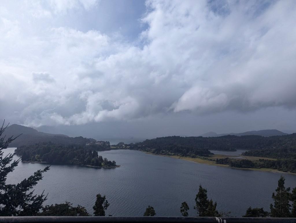
We headed west on the northern half of the circuit and traveled 3/4 of the way around before we were even tempted to stop. We got out at the Punto Panaramica Marked on the Google map below.

I include a picture taken then only as comparison for what a difference a day and the sun make to our enjoyment of the drive.
On the way in, we had passed an interesting looking restaurant called El Mallín, so we headed there for an early dinner before turning in for the day. In the morning we were greeted with copious sunshine, so we had a hearty breakfast to fortify us for our big day ahead. The Petit Peninsula Hotel had the best breakfast options offered so far in Argentina, and the bar was pretty high. We also liked their motto on the wall of the breakfast room:
We headed back along the route followed the previous evening. Our first stop was the Cerro Lao Lao trail just west of the #10 on the second map above. The trail was to be about about 3.6 miles round trip with views at the top; we were off.

The trail was a bit steeper and more rugged than it first seemed, but there were many viewpoints along the way.
honestly just an excuse to take a break and catch our breath

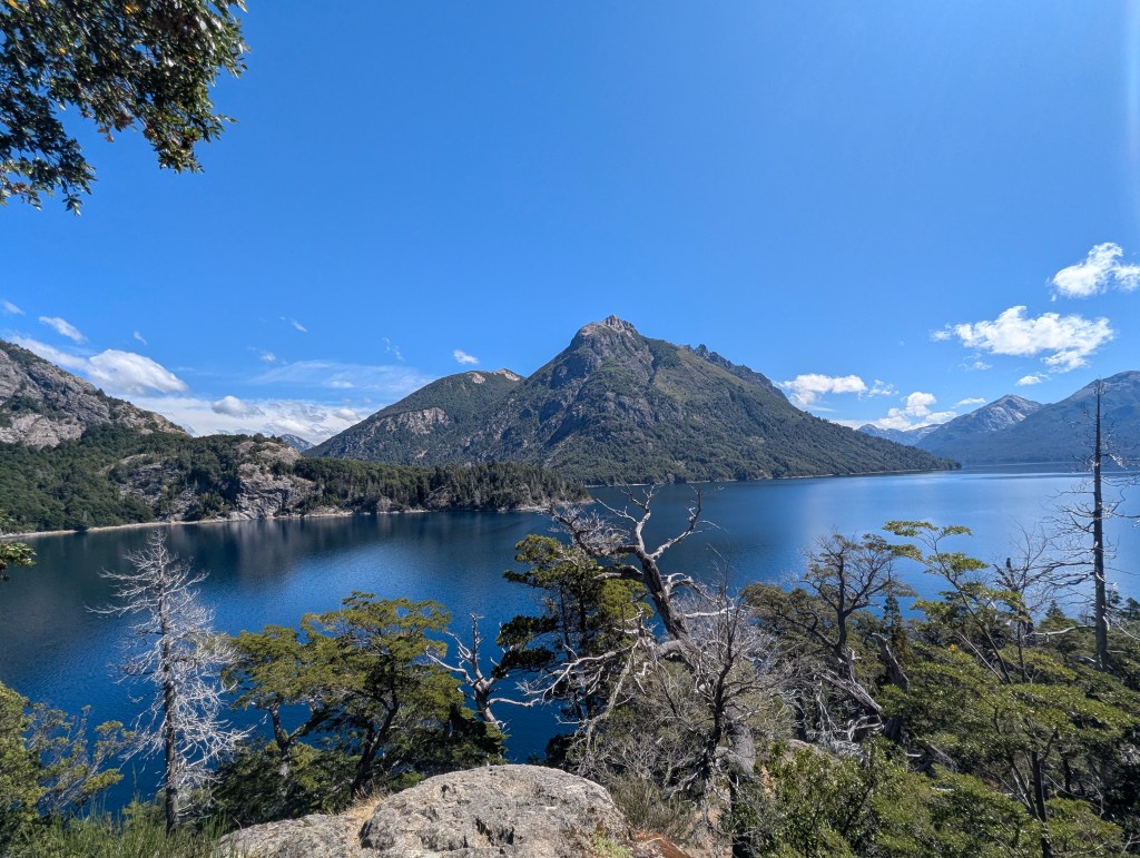
At the top we were rewarded for our effort with gorgeous views.
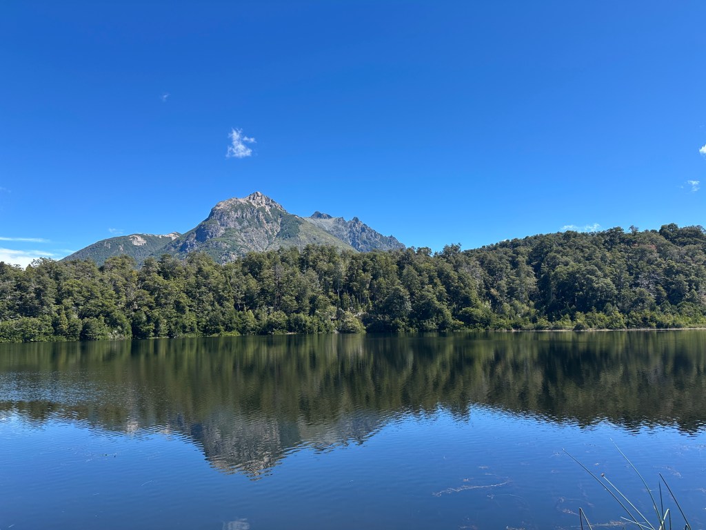
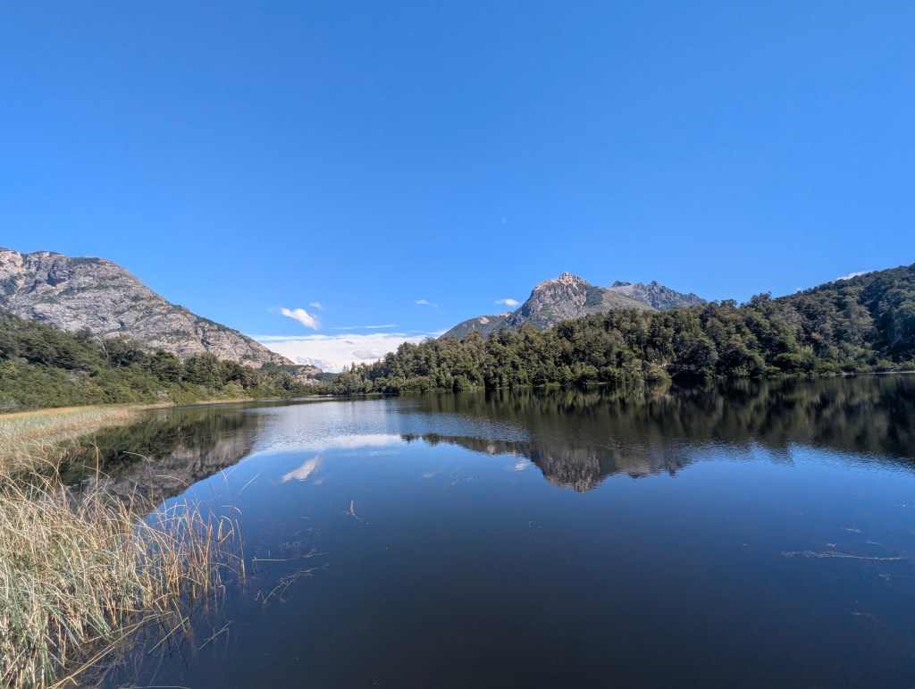
We made our way back down, in some ways more challenging than the uphill climb, and continued our way along the Small Circuit. Our next stop was Lago Escondido, a different Lago Escondido than in the Nequén province, but also hidden from the road. Luckily after the vigorous morning hike, it was a short walk into the woods.
We drove further along the circuit until we reached the entrance for Bahia de los Troncos (Bay of Trees). Again it was a short walk to the bay.

There we found a large group of kayakers having loads of raucous fun.

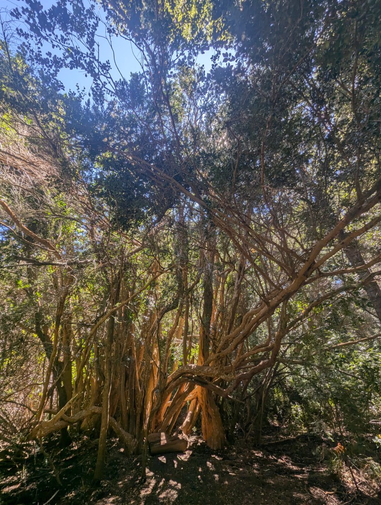
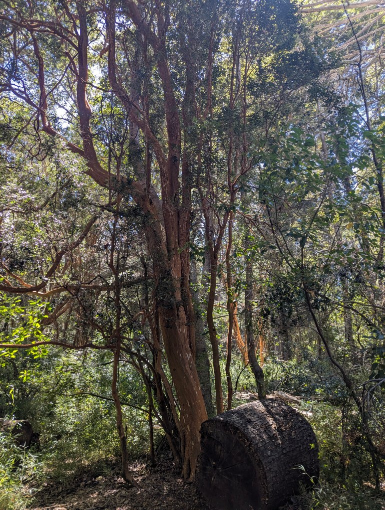
On the short walk back to the car we took a moment to notice these trees new to us. They are los arrayanes, the myrtles, we had not seen in Villa La Angostura.
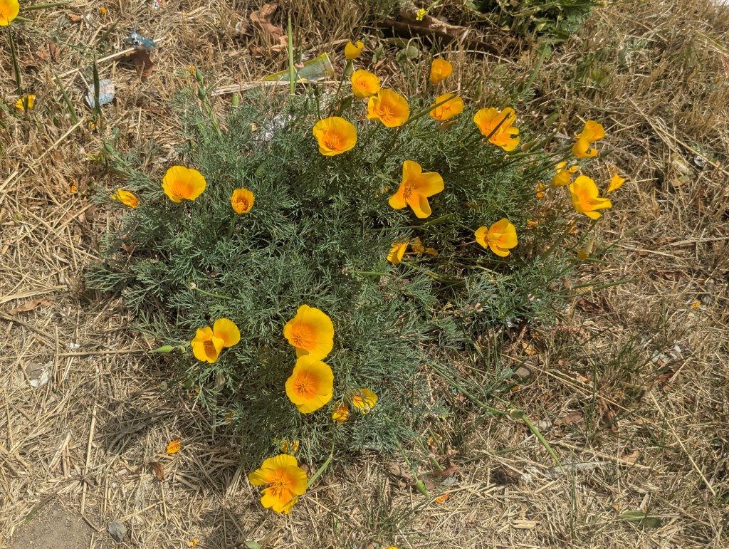
Bariloche is in the transition area between the Patagonian steppe and the Valdivian forest, therefore it is rich in a variety of native species as well as home to many introduced species. Flora noted along the Small Circuit included California poppies, an introduced species that has become naturalized in the area,
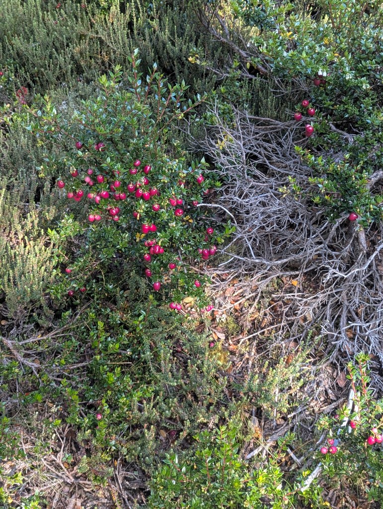
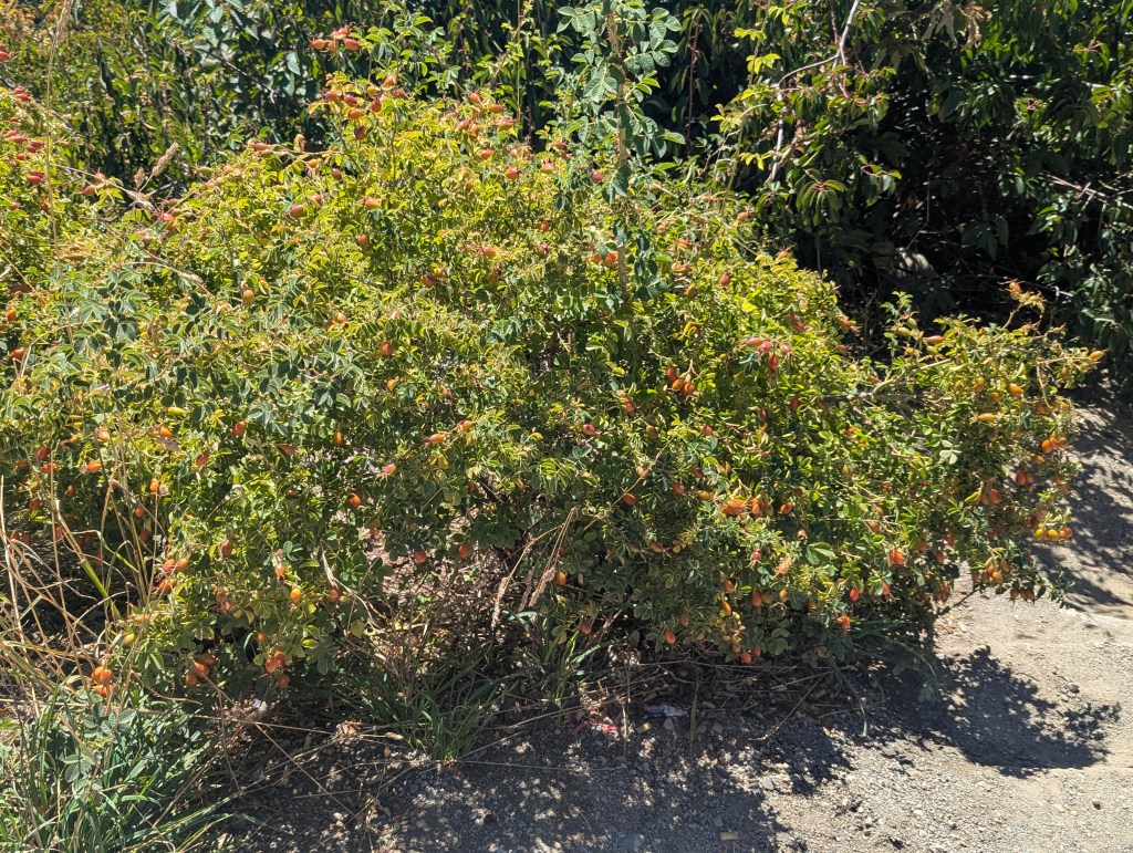
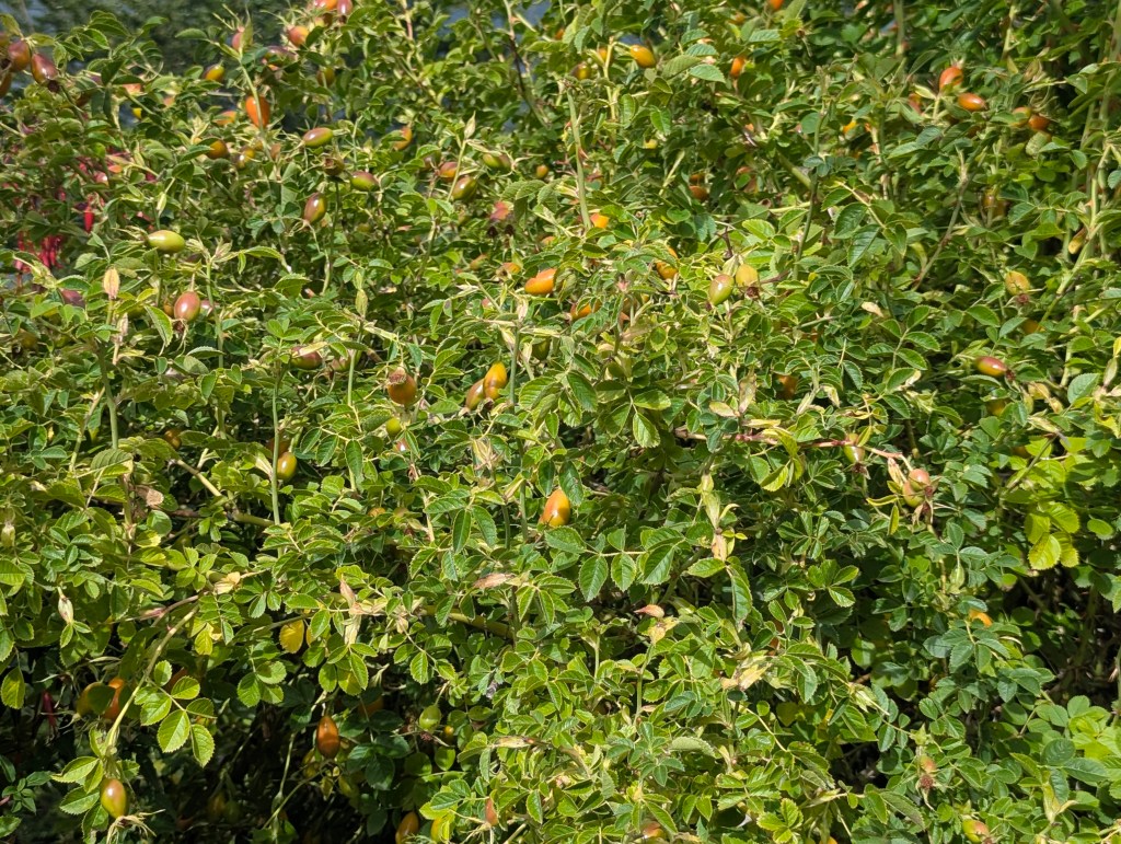
and rosehip, of which we had seen a plethora throughout the lakes region. Introduced from Europe, in the Patagonian region of Argentina, this species has become an extremely invasive plant due to its ability to spread through cattle feces, its rapid growth, and its resilience. Its thorns precluding local natural predators. Its long roots drain water and compete with the myrtles.

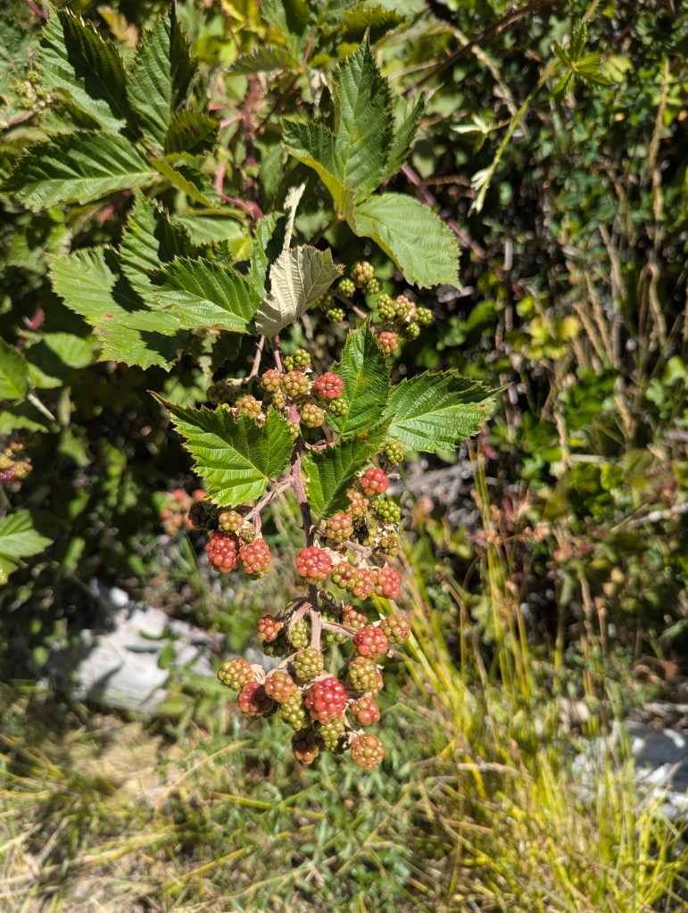
We also found native wild raspberries
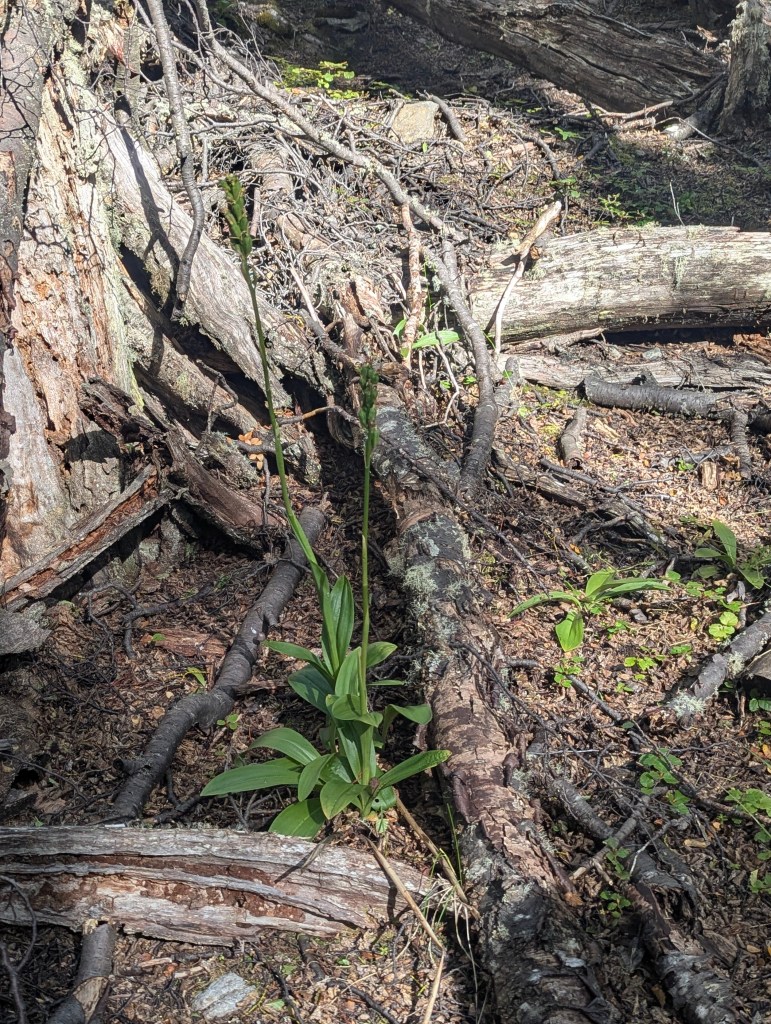
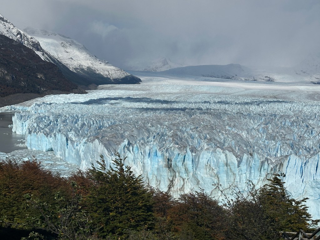
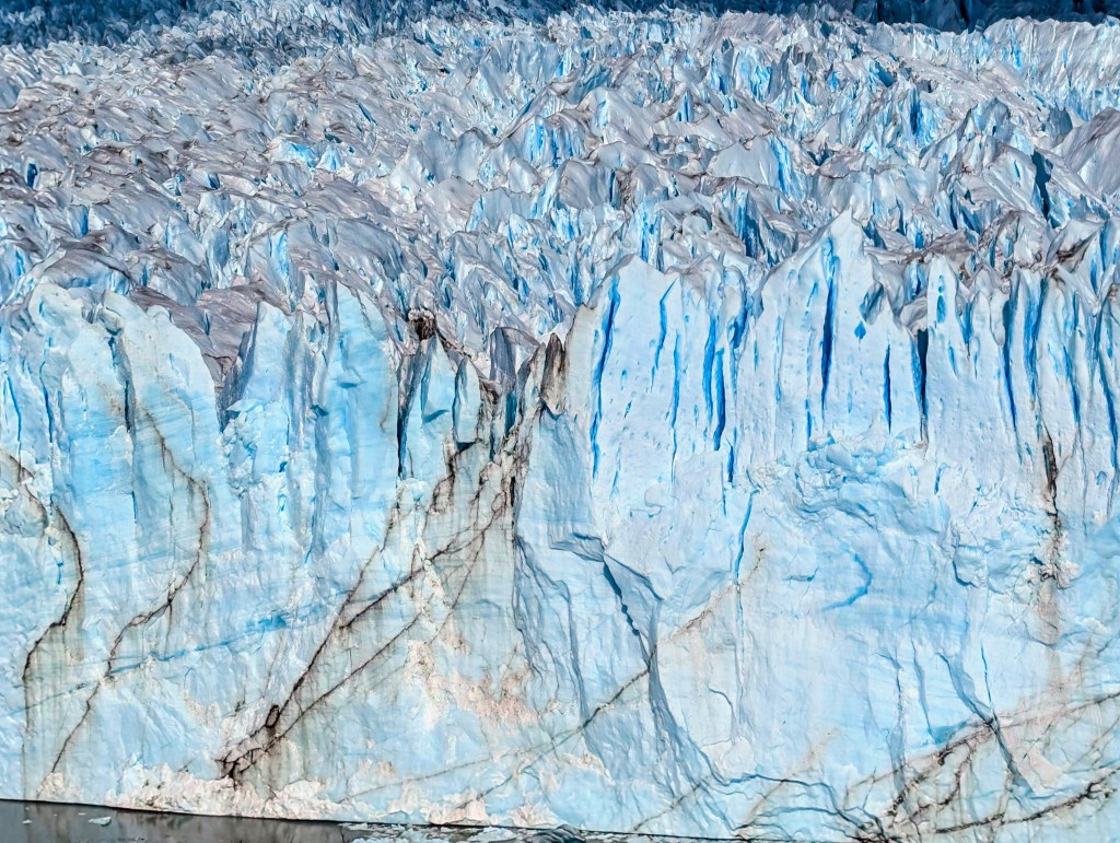
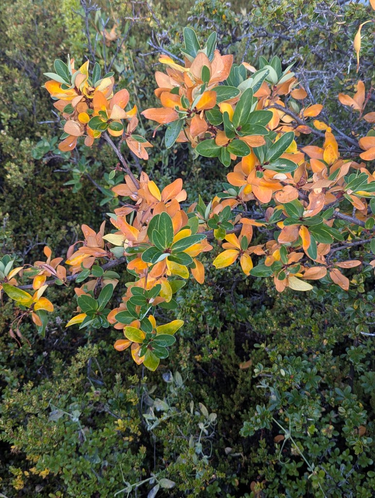
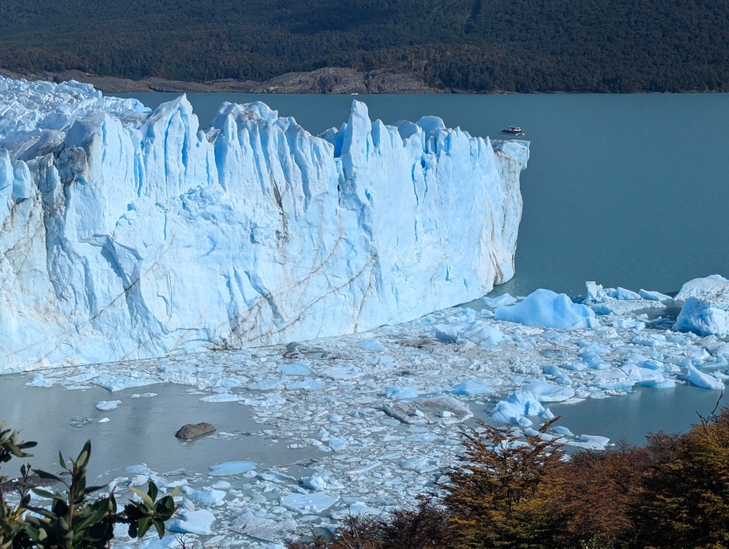
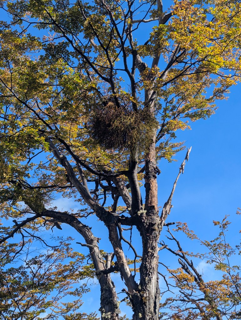
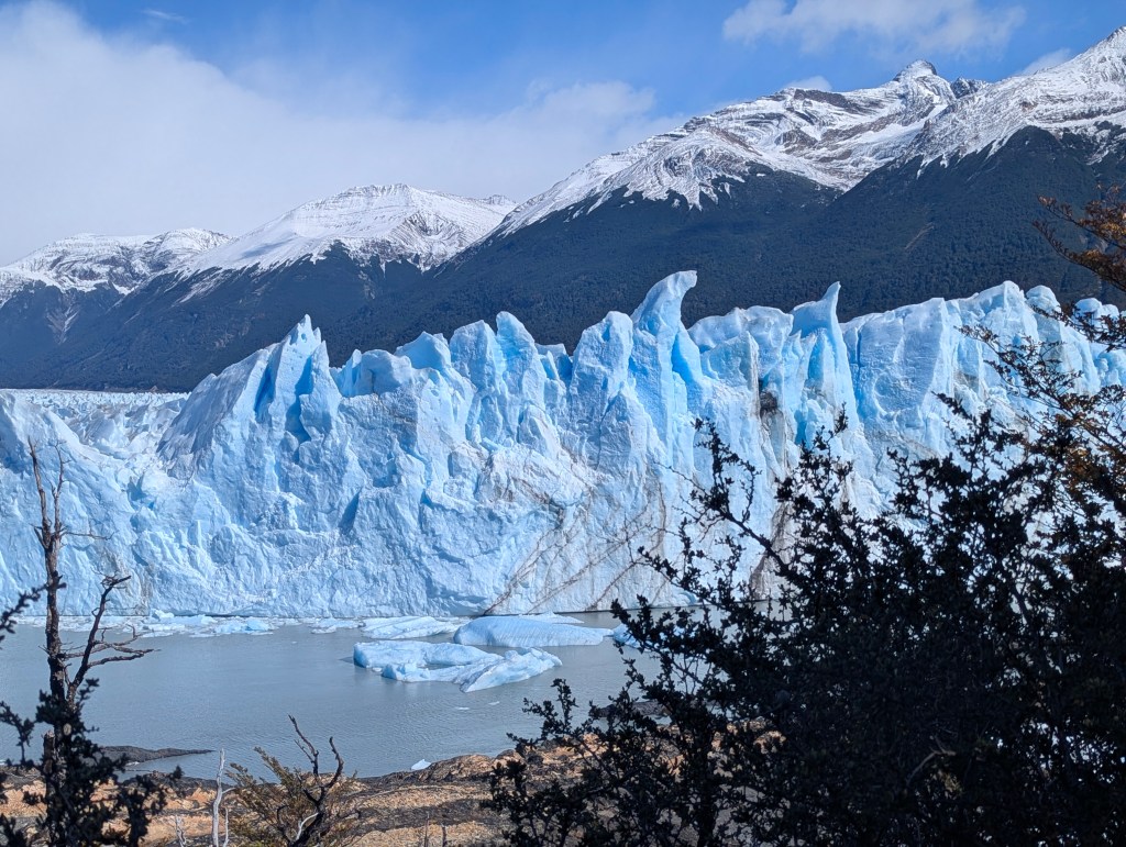
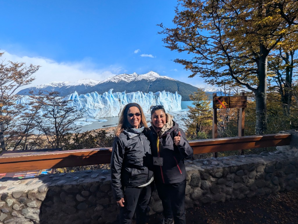
and an example of the false mistletoe that had been pointed out by Nadia at the Perito Moreno Glacier, here in bloom.

Our next stop along the Small Circuit was Mirador Cerro Capilla.
And finally we drove to the Punto Panoramico, where we had stopped the previous day.
Wow what a difference with the sun shining!
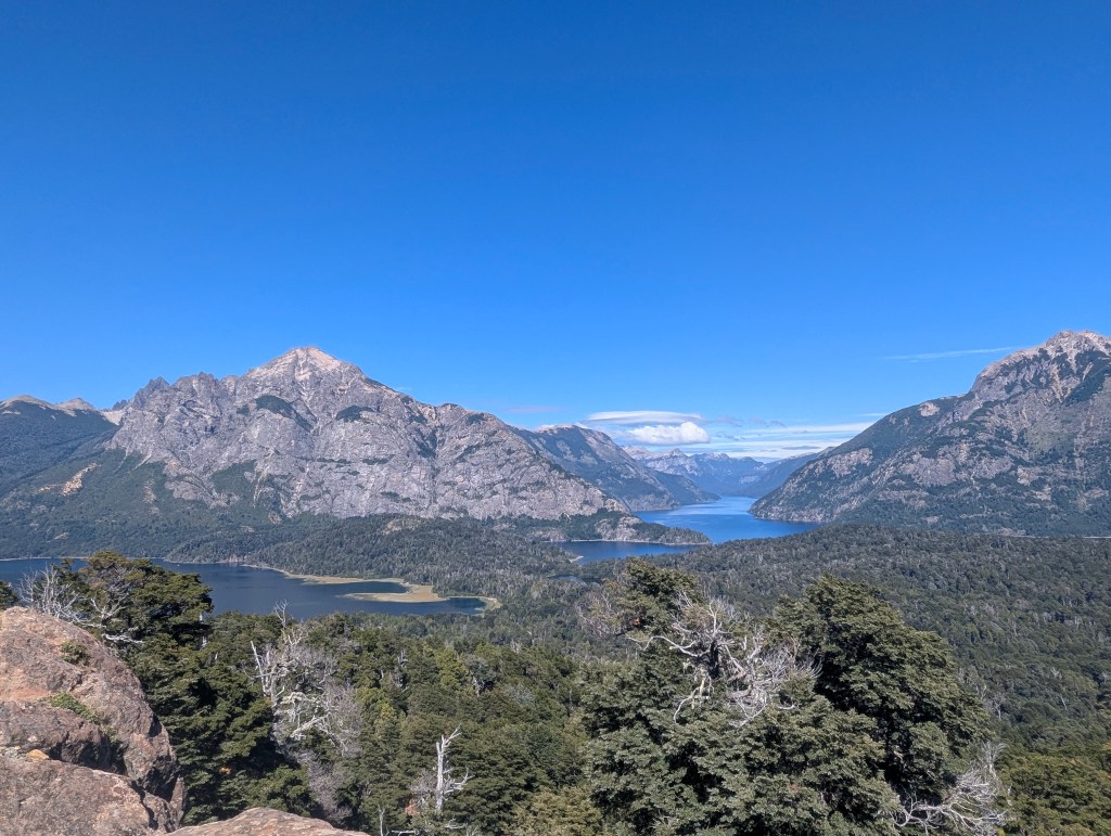
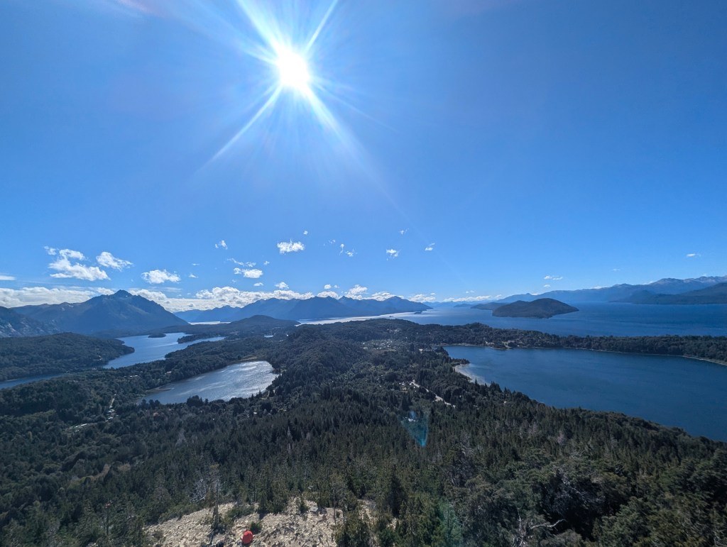
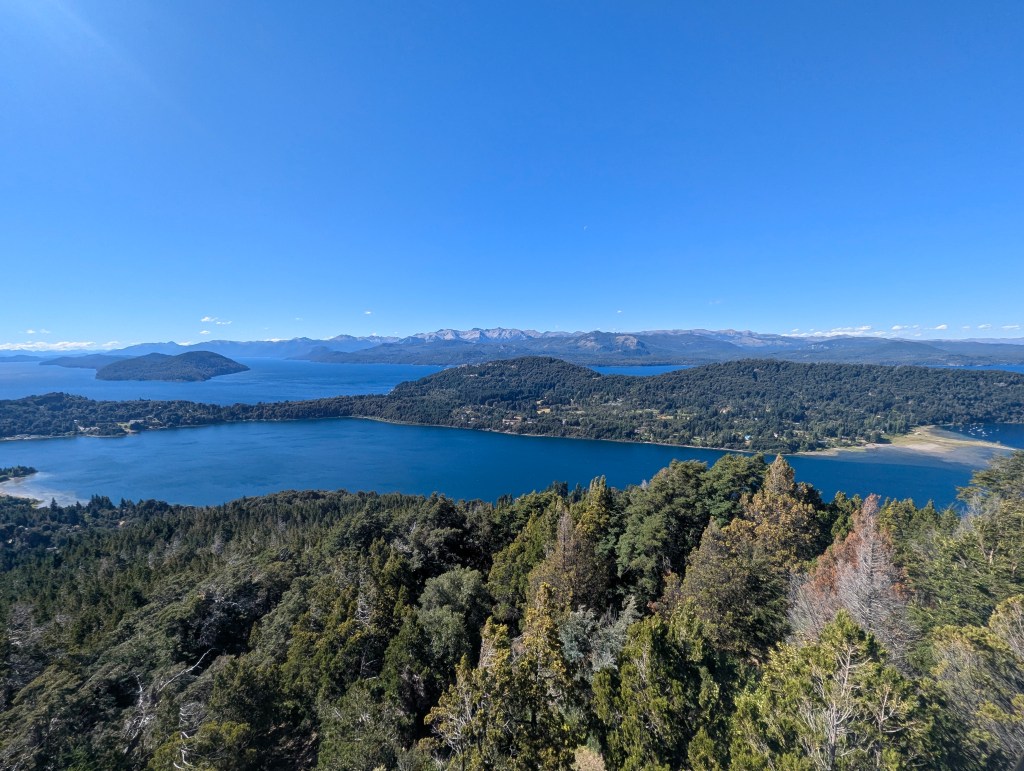
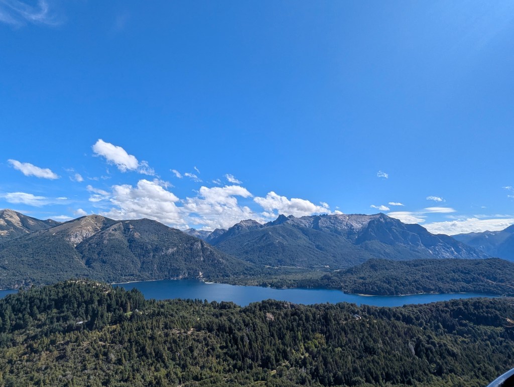
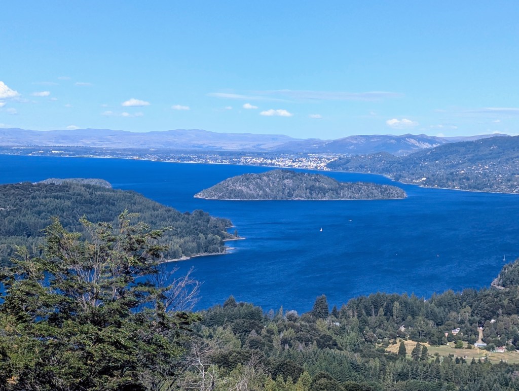
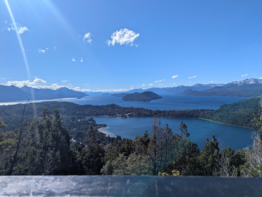
Upon completeing the Small Circuit, we headed to the top of Cerro Campanario, which had been recommended by our hotel receptionist. Cerro Campanario is reached via a chairlift.
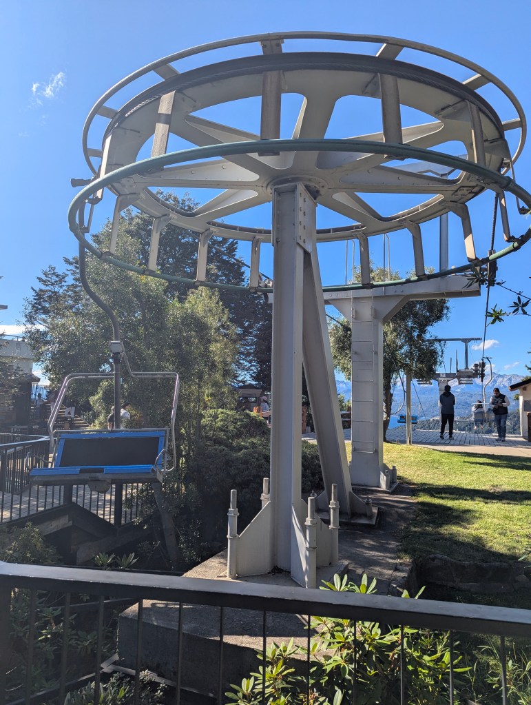
Once at the top the views are nearly 360 degrees.
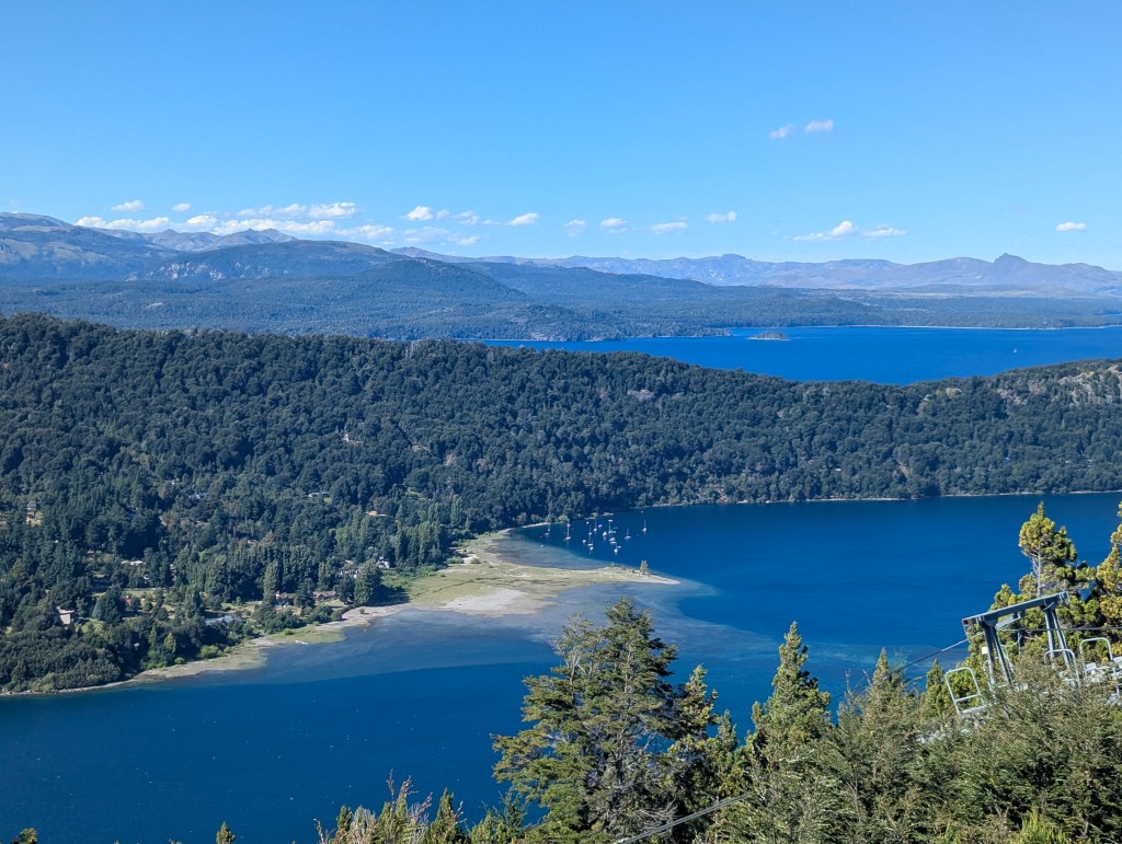
It was late in the day, and the line to descend on the chairlift was long, so we decided to chill, have a beer break, and just enjoy the view for a while.
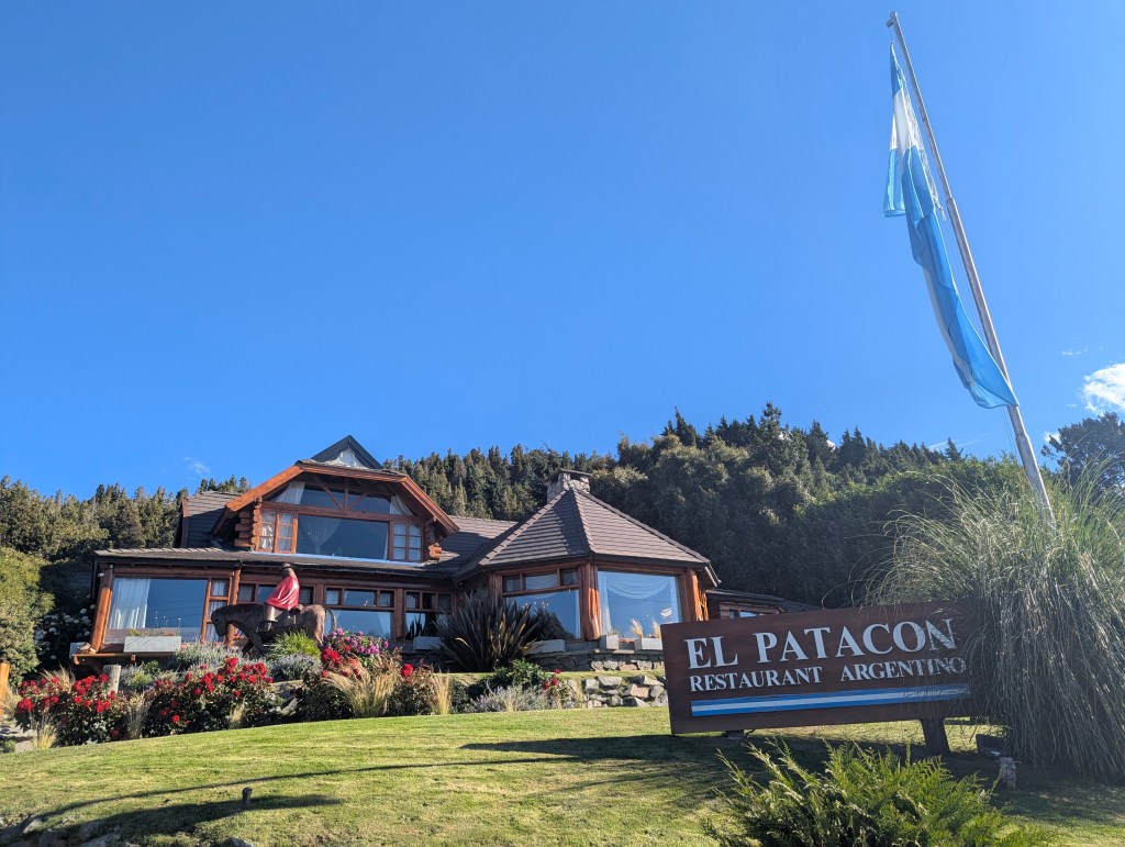
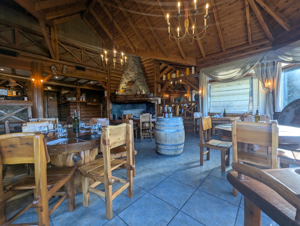
Finally the line had emptied and we descended. At this point it is time to comment on Argentinian eating culture. Argentinians start their day with coffee and a small sweet, not a big breakfast. They have a large lunch between noon and 2, then enjoy a siesta for an hour or three. Between 4 and 6 is mate tea time; dinner is usually another large meal starting around 9 pm. We cannot eat that way; we cannot go to bed with a large meal in our stomachs, and we cannot eat two large meals late in the day. So we tended to eat an early hearty breakfast, another large meal in the late afternoon or early evening, and maybe some fruit or a light snack in the late evening. So we had to find restaurants open in the early evening, which was not always easy, but once found, they were never crowded. After our long day of hiking and sightseeing, we headed to El Patacon, a cute if touristy restaurant.
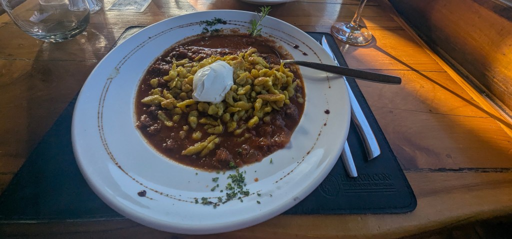
We had seen German influenced goulash with spaetzle on almost every restaurant in the lakes region; it was time to give it a try. The verdict: yummy and satisfying. Of course Eric, not a fan of goulash, had his go to dinner, cordera (lamb).
Our last day in the lakes region was rainy from start to finish. So what does one do with a rainout in Bariloche but head to the Havanna Chocolate Museum. Upon entering, we had a peak into the factory.
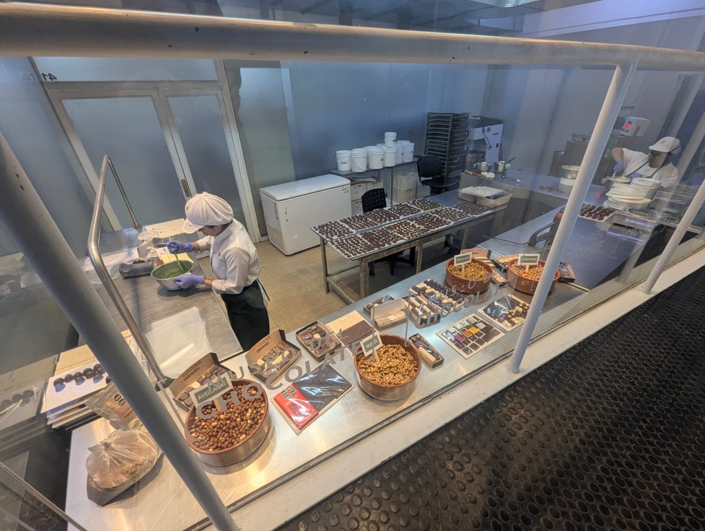
There were no tours in English, and the signage was not translated, so Google translate had to do the job for us. It was a bit of a struggle, but we did learn a bit about the history of the cocoa bean.
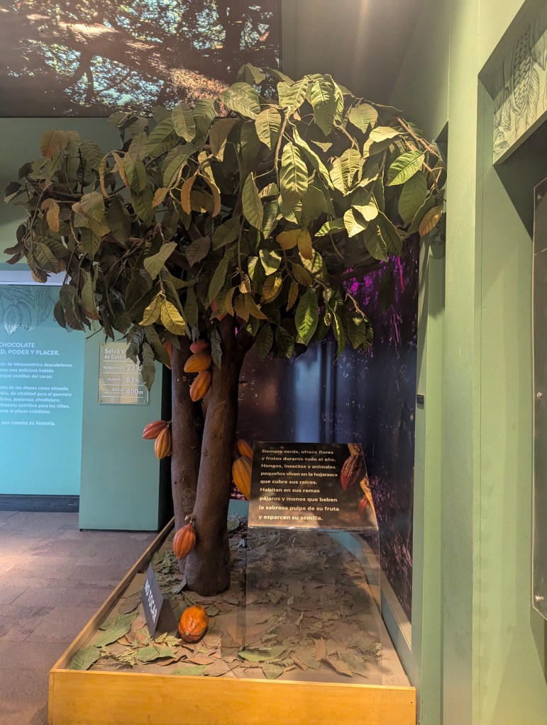
The ancient Olmecs of Mesoamerica discovered how to make a delicious drink from the bitter seeds of the cacao plant. Throughout its history, chocolate has been considered at varying times: food of the gods as an offering, currency of exchange, vitality for the warrior, precious medicine, a powerful aphrodisiac, a drink of the elite, nutritious food for children, or simply an every day pleasure. Displays included vessels for cooking
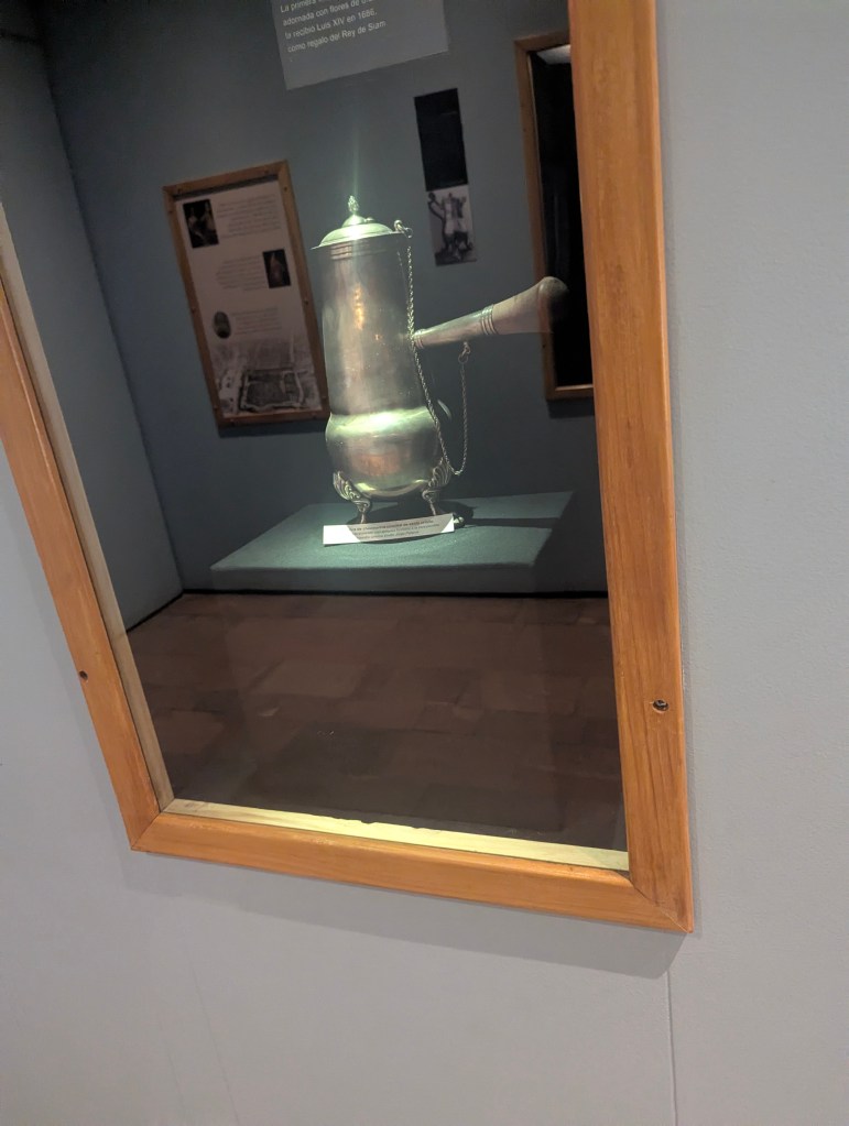
and those for serving.
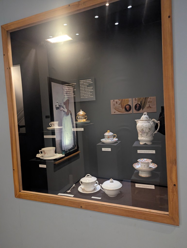
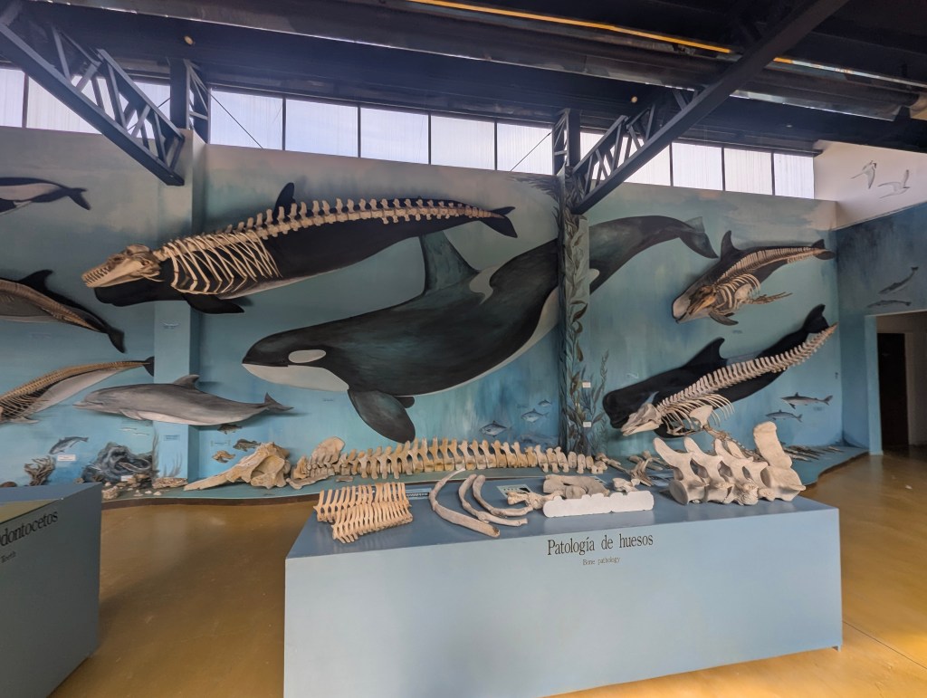
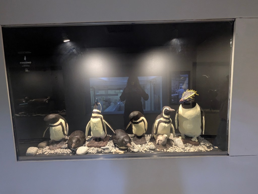
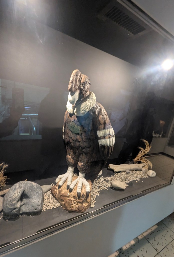
Solid chocolate, as we know it, was invented in 1847 by J.S. Fry and Sons, who discovered a method of mixing cocoa butter with cocoa powder and sugar to create a moldable, solid chocolate. The museum also has an entire room devoted to the fauna of Argentina. I have included just a few here.
And with that our visit to the lakes region had come to an end.